Blairgowrie and Rattray
Located in Perth and Kinross, Scotland Coordinates: 56°35′30″ N 3°20′26″ W
- Population
- 8,890
- 8.9K
- Elevation
- 80 m
- above sea level
- Local time
- UTC+00:00
- Europe/London · UTC+00:00
- Airports
- DND Dundee Airport25 km
- EDI Edinburgh Airport71 km
About Blairgowrie and Rattray
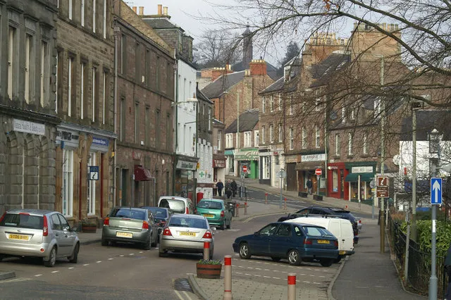
Blairgowrie and Rattray is a town. Location: Perth and Kinross, Scotland. Population: 8,890. Elevation: 80 m.
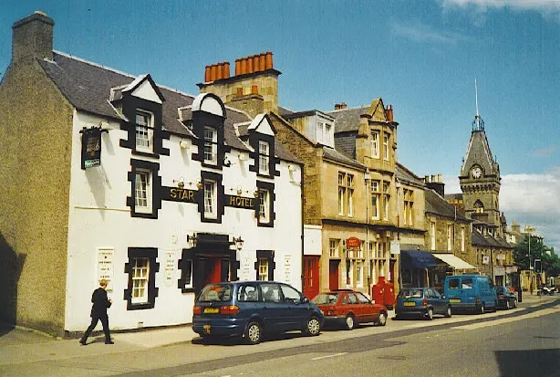
Blairgowrie and Rattray ( ) is a historic market town and twin burgh in Perth and Kinross, Scotland. The town lies on the north side of Strathmore at the foot of the Grampian Mountains. It had a population of 9,433 in 2022. Locals refer to the town as "Blair". Blairgowrie is the larger of the two former burghs which were united by an Act of Parliament in 1928 and lies on the southwest side of the River Ericht while Rattray is on the northeast side.
Source: Wikipedia · CC BY-SA 4.0
Photos of Blairgowrie and Rattray
-

RapidAssistant · CC BY-SA 4.0 -

caroline legg · CC BY 2.0 -

caroline legg · CC BY 2.0 -

Dlsnider · CC BY-SA 3.0


Climate of Blairgowrie and Rattray
Best months for sightseeingBest months for sightseeing: June–August.
This month · November
A cold month
Day 9° · Night 2° · Rain 79 mm
- Hottest month
- July (day 19°)
- Coldest month
- January (night 0°)
- Wettest month
- January (100 mm)
- Driest month
- April (48 mm)
Bars: average monthly low and high temperature. Below: precipitation. Monthly averages for 1970–2000 at about 18 km resolution, adjusted for elevation. Highlighted months are mild and relatively dry. Source: WorldClim 2.1 (CC BY 4.0).
Show values as a table
| Month | Jan | Feb | Mar | Apr | May | Jun | Jul | Aug | Sep | Oct | Nov | Dec |
|---|---|---|---|---|---|---|---|---|---|---|---|---|
| Average high (°C) | 6° | 6° | 9° | 11° | 15° | 17° | 19° | 19° | 16° | 12° | 9° | 7° |
| Average low (°C) | 0° | 0° | 2° | 3° | 6° | 9° | 11° | 10° | 8° | 6° | 2° | 1° |
| Precipitation (mm) | 100 | 63 | 69 | 48 | 57 | 56 | 58 | 61 | 75 | 89 | 79 | 83 |
How to get to Blairgowrie and Rattray
The nearest airport is Dundee Airport (DND), 25 km to the southeast as the crow flies. For international flights: Edinburgh Airport (EDI) (71 km). The nearest large city is Dundee, 26 km to the southeast.
Airports
- Dundee Airport (DND) Dundee 25 kmsoutheast
- Edinburgh Airport (EDI) Ingliston, Edinburgh 71 kmsouth
- Aberdeen International Airport (ABZ) Aberdeen 97 kmnortheast
Nearby large cities
- Dundee Population: 148.2K 26 kmsoutheast
- Edinburgh Population: 515K 72 kmsouth
- Aberdeen Population: 198.6K 98 kmnortheast
- Glasgow Population: 626.4K 99 kmsouthwest
- Newcastle upon Tyne Population: 300.1K 210 kmsoutheast
Straight-line distances; road distances are longer. Airport data: OurAirports.
Day trips from Blairgowrie and Rattray
Within 100 km: 164 historic and cultural sites, 3,377 natural sites, 655 lakes, rivers and coasts.
0–25 km277 places
- Moncreiffe Island Island 23 kmS
- Island of Clunie Island 7 kmW
- Insherrit Island Island 24 kmS
- The Stanners Island 22 kmS
25–60 km1,411 places
- Burntisland Beach Beach 59 kmS
- Mugdrum Island Island 27 kmS
- St Serf's Island Island 45 kmS
- Roy's Folly Island 44 kmS
60–100 km2,508 places
- Balbithan Island Island 95 kmNE
- Aberdeen Beach Beach 99 kmNE
- Cramond beach Beach 68 kmS
- Portobello Beach Beach 72 kmS
Straight-line distances.
Nearby attractions & nature
Everything nearby-
Craig Roman Mountain, Perth and Kinross1.6 km W
-
Broad Moss Mountain, Perth and Kinross3.1 km NE
-
Loch Bog Lake, Perth and Kinross2.8 km S
-
Fingask Loch Lake, Perth and Kinross3.2 km SW
-
Kynballoch Hill Mountain, Perth and Kinross3.9 km NE
-
Marlie Loch Lake, Perth and Kinross4.6 km SW
-
Hill of Lethendy Mountain, Perth and Kinross5.5 km SW
-
Lunan Burn River, Perth and Kinross4.9 km S
Other cities and towns in Perth and Kinross
-
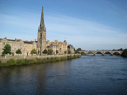 Perth City, Perth and Kinross23 km S
-
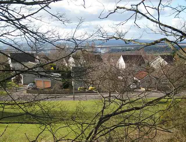 Scone Town, Perth and Kinross20 km S
-
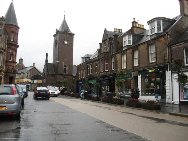 Crieff Town, Perth and Kinross39 km SW
-
 Auchterarder Town, Perth and Kinross40 km SW
-
Kinross-shire Municipality, Perth and Kinross38 km S
Sources & licences
Data last updated: · 2 independent sources