- Elevation
- 198 m
- above sea level
- Local time
- UTC+00:00
- Europe/London · UTC+00:00
- Airports
- PIK Glasgow Prestwick Airport38 km
- CAL Campbeltown Airport61 km
About Knockrocher Knowe
Knockrocher Knowe is a mountain. Location: South Ayrshire, Scotland. Elevation: 198 m. The best months to visit are July–August. The nearest airport is Glasgow Prestwick Airport (38 km). Nearby sights include Fell Hill and Laggan Hill.
Climate of Knockrocher Knowe
Best months for sightseeingBest months for sightseeing: July–August.
This month · November
A wet month
Day 9° · Night 3° · Rain 135 mm
- Hottest month
- July (day 17°)
- Coldest month
- February (night 1°)
- Wettest month
- October (135 mm)
- Driest month
- May (63 mm)
Bars: average monthly low and high temperature. Below: precipitation. Monthly averages for 1970–2000 at about 18 km resolution, adjusted for elevation. Highlighted months are mild and relatively dry. Source: WorldClim 2.1 (CC BY 4.0).
Show values as a table
| Month | Jan | Feb | Mar | Apr | May | Jun | Jul | Aug | Sep | Oct | Nov | Dec |
|---|---|---|---|---|---|---|---|---|---|---|---|---|
| Average high (°C) | 6° | 6° | 7° | 10° | 13° | 15° | 17° | 17° | 14° | 12° | 9° | 7° |
| Average low (°C) | 1° | 1° | 2° | 3° | 5° | 8° | 10° | 10° | 8° | 6° | 3° | 2° |
| Precipitation (mm) | 130 | 94 | 101 | 68 | 63 | 76 | 83 | 103 | 112 | 135 | 135 | 130 |
How to get to Knockrocher Knowe
The nearest airport is Glasgow Prestwick Airport (PIK), 38 km to the northeast as the crow flies. The nearest large city is Glasgow, 83 km to the northeast.
Airports
- Glasgow Prestwick Airport (PIK) Prestwick, South Ayrshire 38 kmnortheast
- Campbeltown Airport (CAL) Campbeltown 61 kmnorthwest
- Glasgow Airport (GLA) Glasgow 80 kmnorth
Nearby large cities
- Glasgow Population: 626.4K 83 kmnortheast
- Belfast Population: 348K 96 kmsouthwest
- Edinburgh Population: 515K 134 kmnortheast
- Dundee Population: 148.2K 184 kmnortheast
- Blackpool Population: 145K 192 kmsoutheast
Straight-line distances; road distances are longer. Airport data: OurAirports.
Day trips from Knockrocher Knowe
Within 100 km: 126 historic and cultural sites, 1,972 natural sites, 616 lakes, rivers and coasts.
0–25 km183 places
- Isles of Trool Island 24 kmSE
- White Island Island 17 kmE
- Blaeberry Isle Island 25 kmE
- Deer Isle Island 24 kmE
25–60 km853 places
- Isle of Arran Island 53 kmNW
- Ayr Beach Beach 33 kmN
- Troon Beach Beach 40 kmN
- Hunterston Sands Beach 60 kmN
60–100 km1,678 places
- Great Cumbrae Island Island 64 kmN
- Powillimount Beach Beach 87 kmE
- West Maiden Island 65 kmSW
- Texa Island Island 96 kmNW
Straight-line distances.
Nearest towns and villages
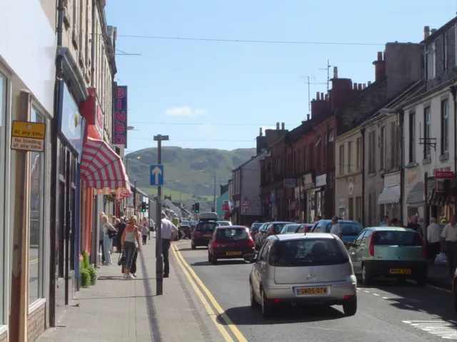
Nearby attractions & nature
Everything nearby-
Fell Hill Mountain, South Ayrshire2.2 km S
-
Laggan Hill Mountain, South Ayrshire2.7 km N
-
Byne Hill Mountain, South Ayrshire2.9 km NW
-
Mains Hill Mountain, South Ayrshire3 km NW
-
Grey Hill Mountain, South Ayrshire3.2 km W
-
Bargain Hill Mountain, South Ayrshire3.8 km S
-
Shalloch Hill Mountain, South Ayrshire3.8 km N
-
Water of Assel River, Scotland1.6 km NE
Sources & licences
Data last updated: