- Elevation
- 288 m
- above sea level
- Local time
- UTC+00:00
- Europe/London · UTC+00:00
- Airports
- EDI Edinburgh Airport22 km
- GLA Glasgow Airport56 km
About Tarbrax
Tarbrax is a village. Location: South Lanarkshire, Scotland. Elevation: 288 m. The best months to visit are June–August. The nearest airport is Edinburgh Airport (22 km). Nearby sights include Tarbrax Bing and Shields Rig.
Photos of Tarbrax
-
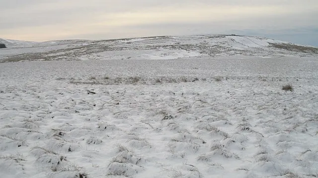
Torweaving Hill Richard Webb · CC BY-SA 2.0 -
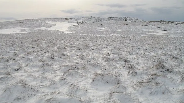
Mealowther Richard Webb · CC BY-SA 2.0 -
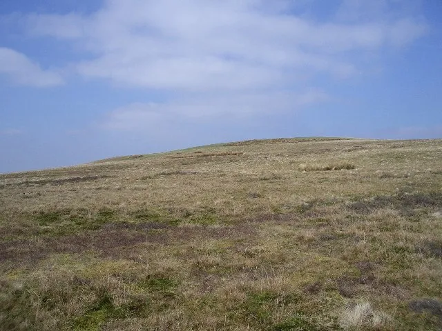
Henshaw Hill Callum Black · CC BY-SA 2.0 -
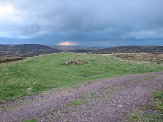
Catstone Callum Black · CC BY-SA 2.0 -
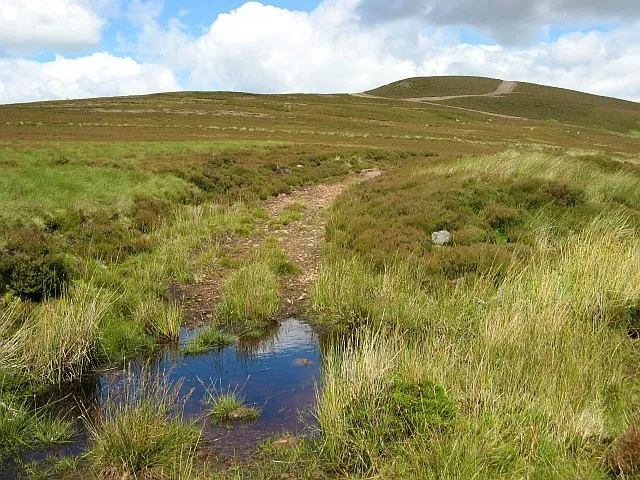
Bleak Law Eileen Henderson · CC BY-SA 2.0


Climate of Tarbrax
Best months for sightseeingBest months for sightseeing: June–August.
This month · November
A wet month
Day 7° · Night 2° · Rain 131 mm
- Hottest month
- July (day 18°)
- Coldest month
- January (night 0°)
- Wettest month
- January (139 mm)
- Driest month
- April (66 mm)
Bars: average monthly low and high temperature. Below: precipitation. Monthly averages for 1970–2000 at about 18 km resolution, adjusted for elevation. Highlighted months are mild and relatively dry. Source: WorldClim 2.1 (CC BY 4.0).
Show values as a table
| Month | Jan | Feb | Mar | Apr | May | Jun | Jul | Aug | Sep | Oct | Nov | Dec |
|---|---|---|---|---|---|---|---|---|---|---|---|---|
| Average high (°C) | 5° | 5° | 7° | 10° | 13° | 16° | 18° | 17° | 14° | 11° | 7° | 6° |
| Average low (°C) | 0° | 0° | 1° | 2° | 5° | 8° | 10° | 9° | 8° | 5° | 2° | 1° |
| Precipitation (mm) | 139 | 98 | 109 | 66 | 68 | 72 | 76 | 91 | 118 | 134 | 131 | 136 |
How to get to Tarbrax
The nearest airport is Edinburgh Airport (EDI), 22 km to the northeast as the crow flies. The nearest large city is Edinburgh, 29 km to the northeast.
Airports
- Edinburgh Airport (EDI) Ingliston, Edinburgh 22 kmnortheast
- Glasgow Airport (GLA) Glasgow 56 kmwest
- Glasgow Prestwick Airport (PIK) Prestwick, South Ayrshire 72 kmsouthwest
Nearby large cities
- Edinburgh Population: 515K 29 kmnortheast
- Glasgow Population: 626.4K 45 kmwest
- Dundee Population: 148.2K 85 kmnortheast
- Newcastle upon Tyne Population: 300.1K 152 kmsoutheast
- Sunderland Population: 170.1K 169 kmsoutheast
Straight-line distances; road distances are longer. Airport data: OurAirports.
Day trips from Tarbrax
Within 100 km: 293 historic and cultural sites, 3,136 natural sites, 827 lakes, rivers and coasts.
0–25 km279 places
- Spiers Island Island 23 kmNW
- Threipmuir Reservoir Lake 17 kmNE
- Portmore Loch Lake 24 kmE
- Hillend Reservoir Lake 23 kmNW
25–60 km1,359 places
- Burntisland Beach Beach 38 kmNE
- Cramond beach Beach 27 kmNE
- Portobello Beach Beach 34 kmNE
- Gullane Beach Beach 53 kmNE
60–100 km2,618 places
- Great Cumbrae Island Island 86 kmW
- Powillimount Beach Beach 99 kmS
- Ayr Beach Beach 77 kmSW
- Troon Beach Beach 75 kmW
Straight-line distances.
Nearby attractions & nature
Everything nearby-
Tarbrax Bing Mountain, South Lanarkshire0.9 km NW
-
Shields Rig Mountain, South Lanarkshire2.1 km SE
-
Henshaw Hill Mountain, South Lanarkshire3.5 km E
-
Maiden Hill Mountain, West Lothian2 km E
-
Twin Laws Mountain, South Lanarkshire3.2 km SE
-
Black Birn Mountain, South Lanarkshire2.8 km SE
Sources & licences
Data last updated: