Ashfield
Local name: Achadh an Uinnsinn
Located in Stirling, Scotland Coordinates: 56°12′45″ N 3°57′32″ W
- Population
- 139
- 139
- Elevation
- 95 m
- above sea level
- Local time
- UTC+00:00
- Europe/London · UTC+00:00
About Ashfield
Ashfield is a village. Location: Stirling, Scotland. Population: 139. Elevation: 95 m.
Ashfield (Scottish Gaelic: Achadh an Uinnsinn) is a small village in the Registration county of Perth and the local government district of Stirling, Scotland. It lies between the Allan Water and the Stirling-Perth Railway line. It is two miles north of Dunblane, and was designated a conservation village in 1976. It was originally built to house workers at a nearby silk-dyeing mill. Prior to this, a mill, Millash or Mill of Ash, existed, as did an extensive house or farm.
Read more on Wikipedia Text: Wikipedia contributors · CC BY-SA 4.0 · shortened
In comparison
- No. 21 of 22 places in Stirling by population
- Nearest larger town: Dunblane, 3 km S
- 33 sights and natural places within 10 km Dunblane Roman Camps, Muckle Burn
Nearby attractions & nature
Everything nearby-
Dunblane Roman Camps Mountain, Stirling3.5 km S
-
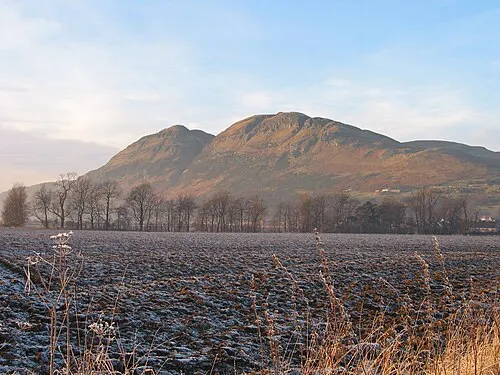 Dumyat Mountain, Stirling8 km SE
-
The Drum Mountain, Stirling4.4 km W
-
David Stirling Hill Mountain, Stirling4.8 km SW
-
Stone Hill Mountain, Stirling5.1 km SE
-
Gallow Hill Mountain, Stirling5.2 km S
Sources & licences
Data last updated: · 2 independent sources