Bannockburn
Local name: Allt a' Bhonnaich
Located in Stirling, Scotland Coordinates: 56°05′23″ N 3°54′39″ W
- Population
- 7,040
- 7K
- Elevation
- 41 m
- above sea level
- Local time
- UTC+00:00
- Europe/London · UTC+00:00
About Bannockburn
Bannockburn is a town. Location: Stirling, Scotland. Population: 7,040. Elevation: 41 m.
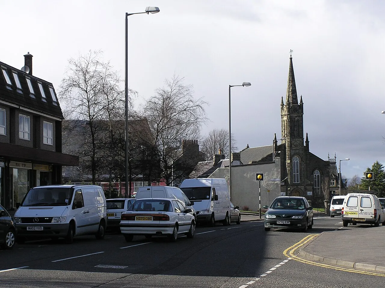
Bannockburn (Scottish Gaelic: Allt a' Bhonnaich) is an area immediately south of the centre of Stirling in Scotland. It is part of the City of Stirling. It is named after the Bannock Burn, a stream running through the town before flowing into the River Forth.
Read more on Wikipedia Text: Wikipedia contributors · CC BY-SA 4.0 · shortened
In comparison
- No. 3 of 22 places in Stirling by population
- Nearest larger town: Stirling, 4 km NW
- 33 sights and natural places within 10 km Forthbank Stadium, Cambuskenneth Abbey
Nearby attractions & nature
Everything nearby-
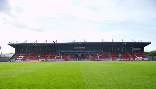 Forthbank Stadium Landmark, Stirling3.3 km N
-
Barr Wood Hill Mountain, Stirling4 km SW
-
Cambuskenneth Abbey Historic site, Stirling3.7 km N
-
King's Park Mountain, Stirling4.2 km NW
-
Gillies Hill Mountain, Stirling4.3 km W
-
Stirling Castle Mountain, Stirling4.5 km NW
-
Stirling Castle Historic site, Stirling4.4 km NW
-
Middlethird Hill Mountain, Stirling5 km W
Other cities and towns in Stirling
-
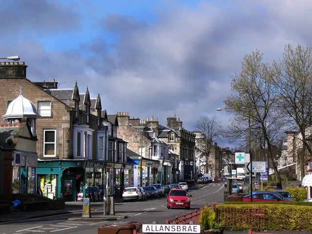 Bridge of Allan Town, Stirling7.5 km N
-
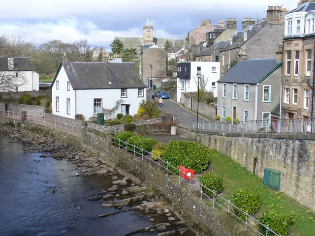 Dunblane Town, Stirling11 km N
Sources & licences
Data last updated: · 2 independent sources