Glen Dochart
Located in Stirling, Scotland Coordinates: 56°25′00″ N 4°26′00″ W
- Elevation
- 182 m
- above sea level
- Local time
- UTC+00:00
- Europe/London · UTC+00:00
About Glen Dochart
Glen Dochart is a natural site. Location: Stirling, Scotland.
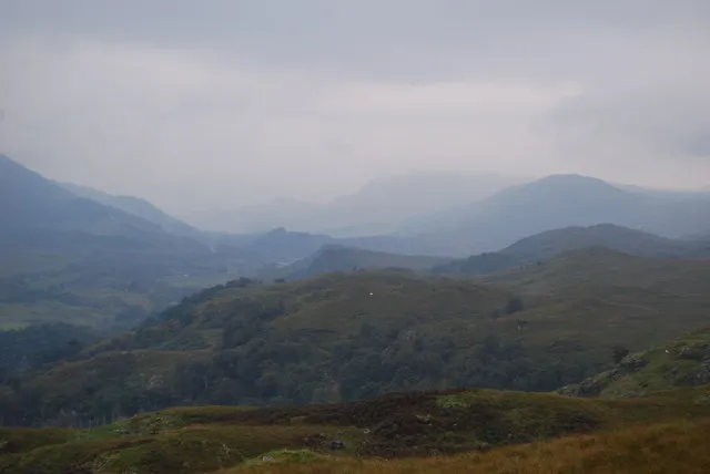
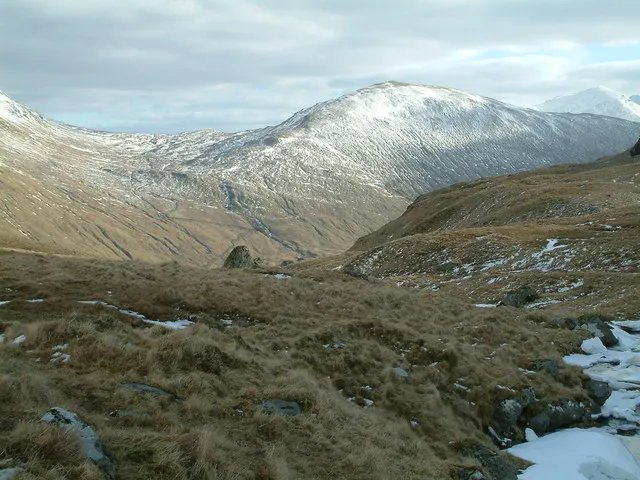
Glen Dochart (Scottish Gaelic: Gleann Dochard) in Perthshire, Scottish Highlands is a glen which runs from Crianlarich eastwards to Killin, following the course of the River Dochart as it flows through Loch Dochart and Loch Iubhair. It is met by Glen Ogle (Scottish Gaelic: Gleann Ogail) at Lix Toll. Lochan Saorach lies within the glen and was once famous for its Floating island.
Read more on Wikipedia Text: Wikipedia contributors · CC BY-SA 4.0 · shortened
In comparison
- 67 sights and natural places within 10 km Creag Loisgte, Stob an t-Suidhe
Nearest towns and villages
Nearby attractions & nature
Everything nearby-
Creag Loisgte Mountain, Stirling2.4 km S
-
Stob an t-Suidhe Mountain, Stirling3.1 km W
-
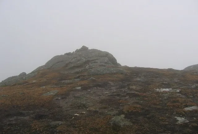 Sgiath Chuil Mountain, Stirling5.6 km NW
-
Caisteal Corrach Mountain, Stirling4.1 km SW
-
Meall an Lochain Mountain, Stirling4.1 km S
-
Meall an Fhiodhain Mountain, Stirling4.4 km SE
-
The Stob Mountain, Stirling4.5 km S
-
Stob Coire Chaorach Mountain, Stirling4.6 km SW
More nature in United Kingdom
-
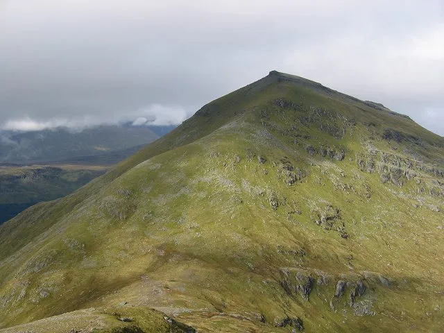 Ben More Mountain, Stirling7.4 km SW
-
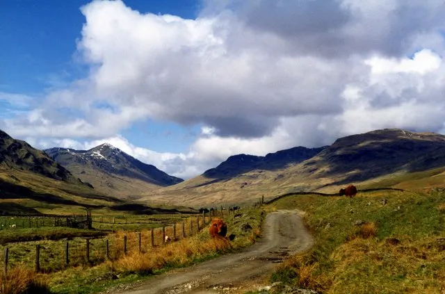 Glen Lochay Natural site, Stirling7.4 km N
-
 Beinn Cheathaich Mountain, Stirling7.5 km NW
-
Dun Riobain Mountain, Stirling4.6 km W
-
Creag Mac Ranaich Mountain, Stirling5 km E
-
Dun Saorach Mountain, Stirling5 km W
Sources & licences
Data last updated: · 2 independent sources