Sgiath Chuil
Located in Stirling, Scotland Coordinates: 56°27′11″ N 4°29′44″ W
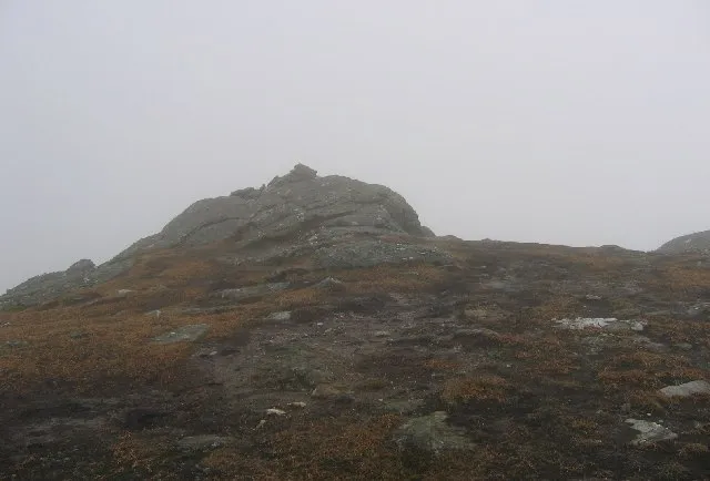
- Elevation
- 920 m
- above sea level
- Local time
- UTC+00:00
- Europe/London · UTC+00:00
About Sgiath Chuil
Sgiath Chuil is a mountain. Location: Stirling, Scotland. Elevation: 920 m.
Sgiath Chùil is a mountain in the southern highlands of Scotland. It stands within Loch Lomond and the Trossachs National Park, on its northern border. It is about 11 kilometres (6.8 mi) west of Killin.
Read more on Wikipedia Text: Wikipedia contributors · CC BY-SA 4.0 · shortened
At a glance
- Topographic prominence
- 312 m
Source: Wikidata
In comparison
- No. 586 of 18223 mountains in United Kingdom by elevation
- 61 sights and natural places within 10 km Sgiath Chrom, Meall a' Churain
Nearest towns and villages
Nearby attractions & nature
Everything nearby-
Sgiath Chrom Mountain, Stirling0.5 km S
-
Meall a' Churain Mountain, Stirling0.7 km N
-
Meall Eoghainn Mountain, Stirling0.8 km NE
-
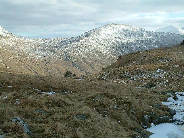 Beinn Cheathaich Mountain, Stirling2 km NW
-
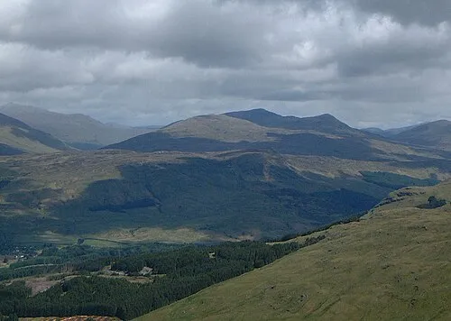 Meall Glas Mountain, Stirling3.2 km W
-
Sgiath Chuil East Top Mountain, Stirling1.9 km NE
-
Meall nan Samhna West Top Mountain, Stirling2.6 km NE
-
Creag an t-Searraich Mountain, Stirling2.9 km N
More nature in United Kingdom
-
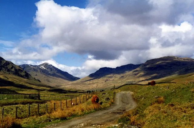 Glen Lochay Natural site, Stirling5.1 km NE
-
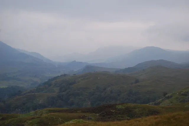 Glen Dochart Natural site, Stirling5.6 km SE
-
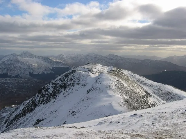 Beinn Challuim Mountain, Stirling7.7 km W
-
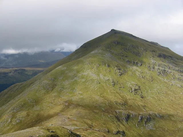 Ben More Mountain, Stirling8 km S
-
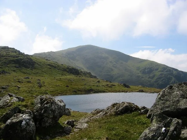 Beinn Heasgarnich Mountain, Stirling8.2 km NW
-
Meall na Samhna Mountain, Stirling3.1 km NE
Sources & licences
Data last updated: · 2 independent sources