Ben More
Located in Stirling, Scotland Coordinates: 56°23′09″ N 4°32′24″ W
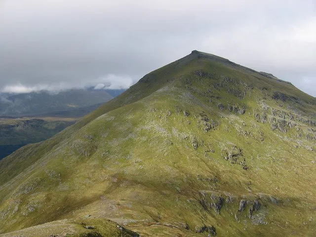
- Elevation
- 1,174 m
- above sea level
- Local time
- UTC+00:00
- Europe/London · UTC+00:00
About Ben More
Ben More is a mountain. Location: Stirling, Scotland. Elevation: 1,174 m.
Ben More (Scottish Gaelic: Beinn Mhòr, "the great mountain") is a mountain in the Breadalbane region of the southern Scottish Highlands, near Crianlarich. Rising to 1,174 metres (3,852 ft), it is a Munro and is the highest of the so-called Crianlarich Hills to the south-east of the village. It is separated from Stob Binnein (1,165 m or 3,822 ft) by the Bealach-eadar-dà-Bheinn, "col between two mountains". It is the highest peak in the Loch Lomond and The Trossachs National Park.
Read more on Wikipedia Text: Wikipedia contributors · CC BY-SA 4.0 · shortened
At a glance
- Topographic prominence
- 989 m
Source: Wikidata
In comparison
- No. 28 of 18223 mountains in United Kingdom by elevation
- 78 sights and natural places within 10 km Stob Binnein, Am Binnein
Nearest towns and villages
-
Inverardran Village, Stirling4.2 km W
-
Crianlarich Village, Stirling5 km W
-
Suie Village, Stirling6.5 km NE
-
Auchtertyre Village, Stirling9.1 km NW
-
Auchlyne Village, Stirling9.4 km NE
-
Ardchyle Village, Stirling10 km NE
Nearby attractions & nature
Everything nearby-
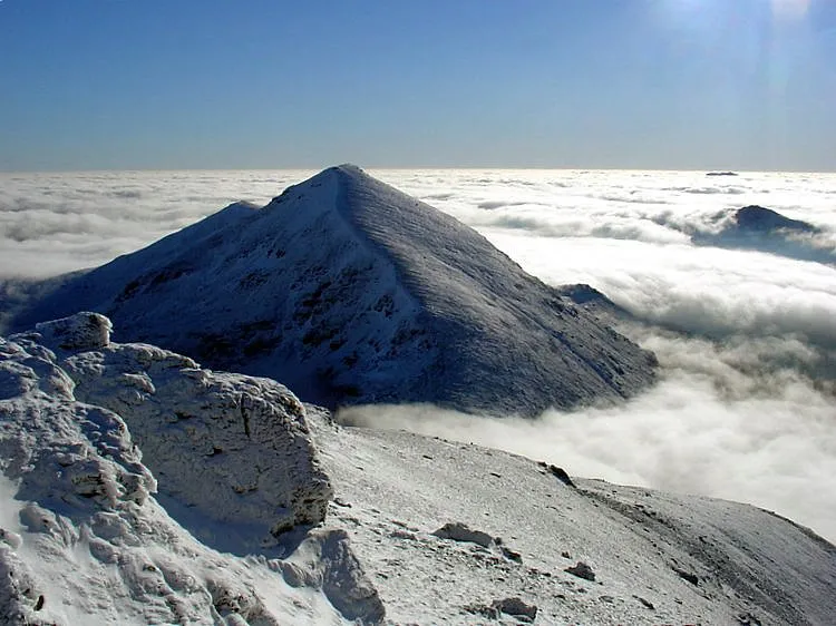 Stob Binnein Mountain, Stirling1.7 km S
-
Am Binnein Mountain, Stirling2.4 km S
-
Stob Coire an Lochain Mountain, Stirling2.4 km S
-
Creag a' Bhragit Mountain, Stirling2.5 km SE
-
Meall na Dige Mountain, Stirling2.5 km SE
-
Stob Bealach na Frithe Mountain, Stirling2.6 km SE
-
Creag a' Phuirt Mountain, Stirling2.8 km W
-
Stob Coire Bhuidhe Mountain, Stirling2.8 km SW
More nature in United Kingdom
-
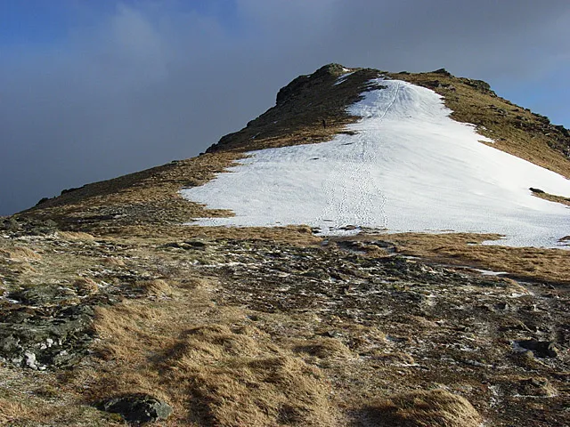 Beinn Tulaichean Mountain, Stirling5 km S
-
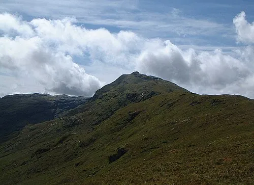 An Caisteal Mountain, Stirling7.4 km SW
-
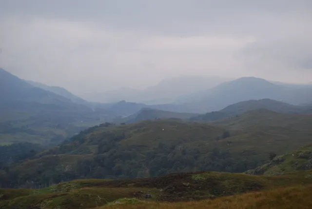 Glen Dochart Natural site, Stirling7.4 km NE
-
Stob Creagach Mountain, Stirling2.9 km SE
-
Stob Coire Chaorach Mountain, Stirling3.1 km E
-
Stob Garbh Mountain, Stirling3.1 km SW
Sources & licences
Data last updated: · 2 independent sources