Stob Binnein
Located in Stirling, Scotland Coordinates: 56°22′16″ N 4°32′09″ W
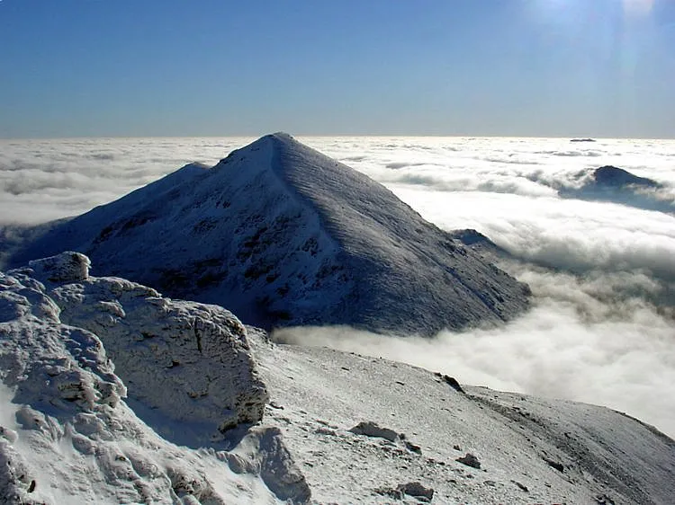
- Elevation
- 1,165 m
- above sea level
- Local time
- UTC+00:00
- Europe/London · UTC+00:00
About Stob Binnein
Stob Binnein is a mountain. Location: Stirling, Scotland. Elevation: 1,165 m.
Stob Binnein is a mountain in the southern Highlands of Scotland, near Crianlarich. It forms a twin-peak with Ben More 1,174 metres (3,852 ft), from which it is separated by the Bealach-eadar-dà-Bheinn, meaning pass between two hills. Stob Binnein is often climbed in conjunction with Ben More by means of the Bealach-eadar-dà-Bheinn. Descent may be made from the bealach direct to Benmore Burn. It may also be climbed from the south, starting near Inverlochlarig, some eight kilometres (five miles) from Balquhidder.
Read more on Wikipedia Text: Wikipedia contributors · CC BY-SA 4.0 · shortened
At a glance
- Topographic prominence
- 303 m
Source: Wikidata
In comparison
- No. 32 of 18223 mountains in United Kingdom by elevation
- 85 sights and natural places within 10 km Am Binnein, Stob Coire an Lochain
Nearest towns and villages
-
Inverardran Village, Stirling4.9 km NW
-
Crianlarich Village, Stirling5.8 km NW
-
Suie Village, Stirling7.3 km NE
-
Balquhidder Village, Stirling10 km E
-
Auchtertyre Village, Stirling10 km NW
-
Auchlyne Village, Stirling10 km NE
Nearby attractions & nature
Everything nearby-
Am Binnein Mountain, Stirling0.8 km SE
-
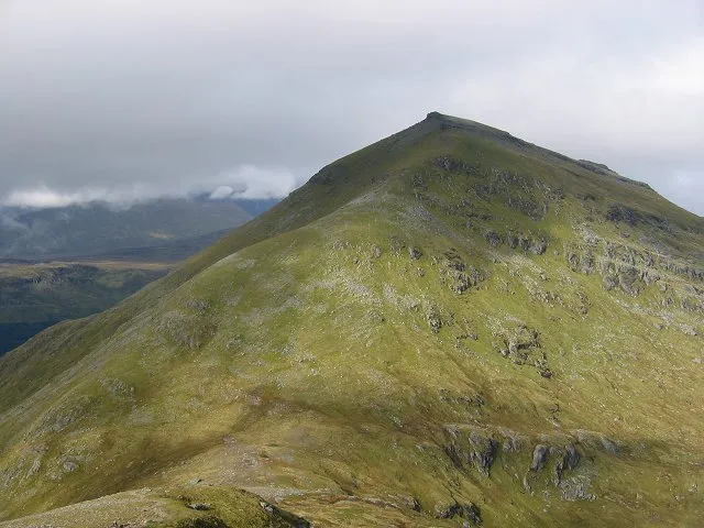 Ben More Mountain, Stirling1.7 km N
-
Stob Coire an Lochain Mountain, Stirling0.8 km SE
-
Creag a' Bhragit Mountain, Stirling1.4 km E
-
Meall na Dige Mountain, Stirling1.6 km E
-
Stob Bealach na Frithe Mountain, Stirling2 km E
-
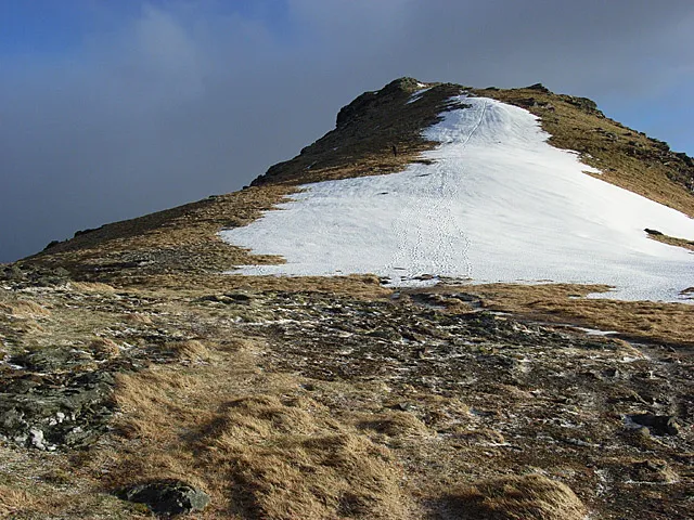 Beinn Tulaichean Mountain, Stirling3.6 km SW
-
Stob Garbh Mountain, Stirling2.4 km W
More nature in United Kingdom
-
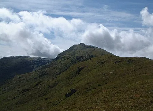 An Caisteal Mountain, Stirling6.6 km SW
-
Stob Creagach Mountain, Stirling2.5 km E
-
Stob Coire Bhuidhe Mountain, Stirling2.6 km W
-
Creag a' Phuirt Mountain, Stirling3.1 km W
-
Cruach Ardrain SW Top Mountain, Stirling3.1 km SW
-
Stob Coire Chaorach Mountain, Stirling3.5 km NE
Sources & licences
Data last updated: · 2 independent sources