Beinn Challuim
Located in Stirling, Scotland Coordinates: 56°27′17″ N 4°37′11″ W
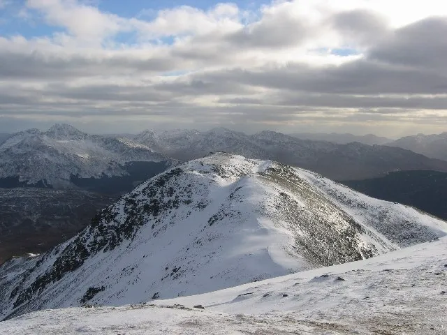
- Elevation
- 1,025 m
- above sea level
- Local time
- UTC+00:00
- Europe/London · UTC+00:00
About Beinn Challuim
Beinn Challuim is a mountain. Location: Stirling, Scotland. Elevation: 1,025 m.
Beinn Challuim (English: Ben Challum) is a mountain in the Breadalbane region of the Scottish Highlands. It is east of the village of Tyndrum, in the Forest of Mamlorn, an ancient deer forest at the northern edge of Loch Lomond and the Trossachs National Park. It is a Munro with a height of 1,025 metres (3,363 ft).
Read more on Wikipedia Text: Wikipedia contributors · CC BY-SA 4.0 · shortened
At a glance
- Topographic prominence
- 450 m
Source: Wikidata
In comparison
- No. 211 of 18223 mountains in United Kingdom by elevation
- 57 sights and natural places within 10 km Beinn Challuim South Top, Creag Loisgte
Airports nearest to Beinn Challuim
- Glasgow Airport (GLA) Glasgow 66 km
- Edinburgh Airport (EDI) Ingliston, Edinburgh 96 km
- Dundee Airport (DND) Dundee 98 km
Straight-line distance; airports with scheduled flights only. Source: OurAirports (public domain).
Nearest towns and villages
-
Auchtertyre Village, Stirling4.6 km SW
-
Tyndrum Village, Stirling6.1 km W
-
Clifton Village, Stirling6.5 km W
-
Crianlarich Village, Stirling6.8 km S
-
Inverardran Village, Stirling7.3 km S
-
Auch Village, Argyll and Bute7.1 km NW
Nearby attractions & nature
Everything nearby-
Beinn Challuim South Top Mountain, Stirling0.7 km S
-
Creag Loisgte Mountain, Stirling1.9 km SW
-
Cam Chreag Mountain, Argyll and Bute2.7 km NW
-
Beinn Chaorach Mountain, Stirling2.8 km W
-
Stob nan Clach Mountain, Stirling2.9 km N
-
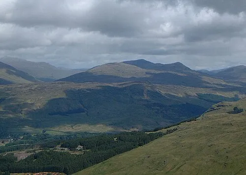 Meall Glas Mountain, Stirling4.5 km E
-
Beinn nan Imirean Mountain, Stirling3.5 km E
-
Sron nan Eun Mountain, Stirling3.6 km NE
More nature in United Kingdom
-
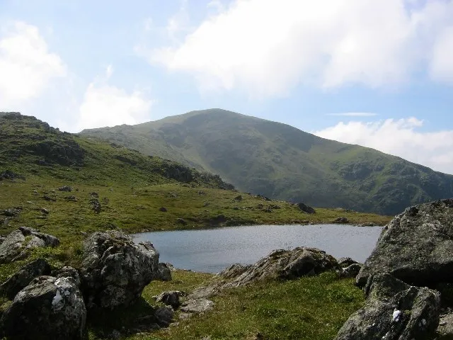 Beinn Heasgarnich Mountain, Stirling6.7 km N
-
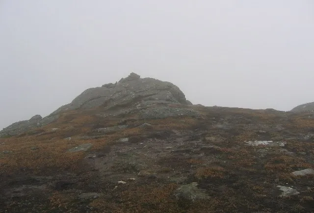 Sgiath Chuil Mountain, Stirling7.7 km E
-
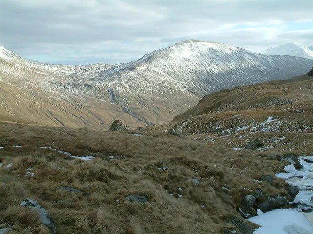 Beinn Cheathaich Mountain, Stirling5.8 km E
-
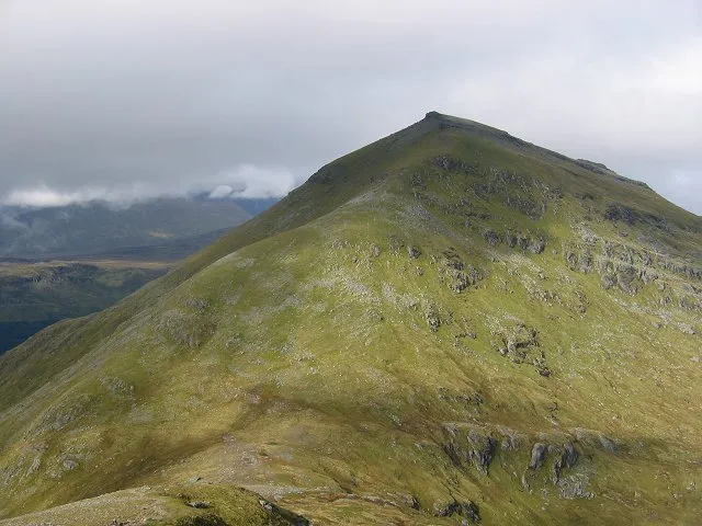 Ben More Mountain, Stirling9.1 km SE
-
Creag Mhor Mountain, Stirling3.9 km N
-
Forest of Mamlorn Natural site, Stirling3.5 km E
Sources & licences
Data last updated: · 2 independent sources