- Elevation
- 500 m
- above sea level
- Local time
- UTC+00:00
- Europe/London · UTC+00:00
- Airports
- GLA Glasgow Airport67 km
- EDI Edinburgh Airport94 km
About Forest of Mamlorn
Forest of Mamlorn is a natural site. Location: Stirling, Scotland. The nearest airport is Glasgow Airport (67 km). Nearby sights include Meall Glas and Beinn Cheathaich.
Photos of Forest of Mamlorn
-
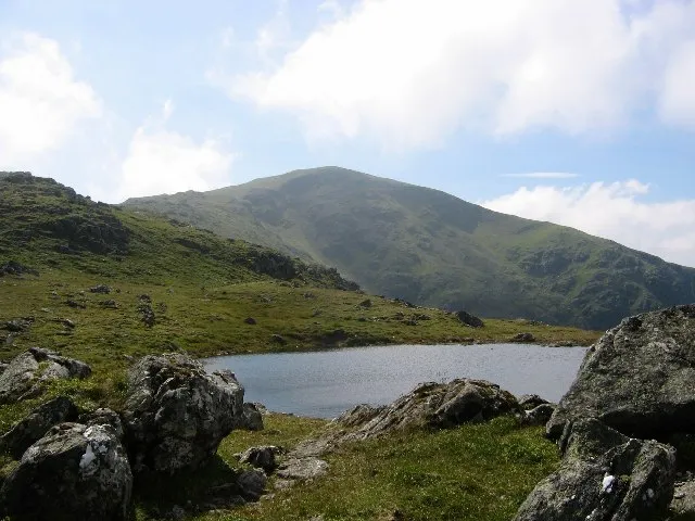
Beinn Heasgarnich Richard Webb · CC BY-SA 2.0 -
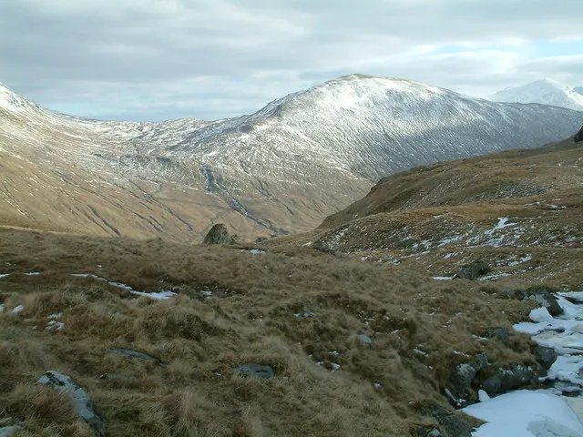
Beinn Cheathaich Thomas Dick · CC BY-SA 2.0 -
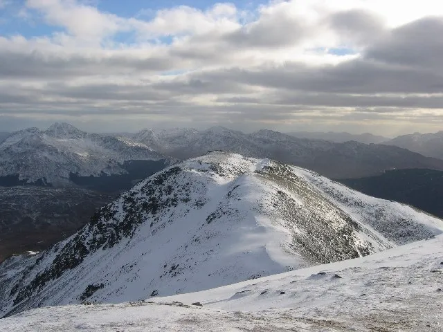
Beinn Challuim Richard Webb · CC BY-SA 2.0 -
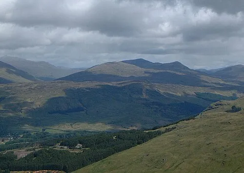
Meall Glas Mick Knapton at English Wikipedia · CC BY-SA 3.0 -
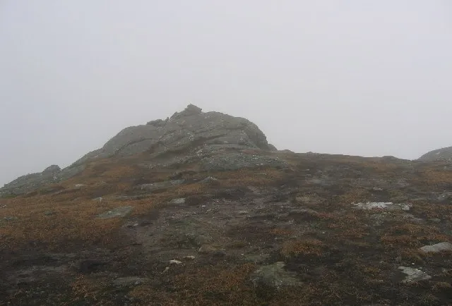
Sgiath Chuil Richard Webb · CC BY-SA 2.0


Climate of Forest of Mamlorn
This month · November
A wet month
Day 6° · Night 1° · Rain 260 mm
- Hottest month
- July (day 15°)
- Coldest month
- February (night -1°)
- Wettest month
- January (301 mm)
- Driest month
- June (117 mm)
Bars: average monthly low and high temperature. Below: precipitation. Monthly averages for 1970–2000 at about 18 km resolution, adjusted for elevation. Highlighted months are mild and relatively dry. Source: WorldClim 2.1 (CC BY 4.0).
Show values as a table
| Month | Jan | Feb | Mar | Apr | May | Jun | Jul | Aug | Sep | Oct | Nov | Dec |
|---|---|---|---|---|---|---|---|---|---|---|---|---|
| Average high (°C) | 3° | 3° | 5° | 8° | 11° | 13° | 15° | 15° | 12° | 9° | 6° | 4° |
| Average low (°C) | -1° | -1° | 0° | 1° | 4° | 6° | 8° | 8° | 7° | 4° | 1° | -1° |
| Precipitation (mm) | 301 | 196 | 215 | 124 | 128 | 117 | 131 | 158 | 220 | 261 | 260 | 266 |
How to get to Forest of Mamlorn
The nearest airport is Glasgow Airport (GLA), 67 km to the south as the crow flies. The nearest large city is Glasgow, 70 km to the south.
Airports
- Glasgow Airport (GLA) Glasgow 67 kmsouth
- Edinburgh Airport (EDI) Ingliston, Edinburgh 94 kmsoutheast
- Dundee Airport (DND) Dundee 95 kmeast
Nearby large cities
- Glasgow Population: 626.4K 70 kmsouth
- Dundee Population: 148.2K 98 kmeast
- Edinburgh Population: 515K 103 kmsoutheast
- Aberdeen Population: 198.6K 169 kmnortheast
- Belfast Population: 348K 225 kmsouthwest
Straight-line distances; road distances are longer. Airport data: OurAirports.
Day trips from Forest of Mamlorn
Within 100 km: 137 historic and cultural sites, 4,589 natural sites, 1,242 lakes, rivers and coasts.
0–25 km403 places
- Island I Vow Island 23 kmS
- Eilean Molach Island 20 kmNW
- Eilean Bàn Island 22 kmS
- Eilean na h-Iolaire Island 20 kmNW
25–60 km1,891 places
- Eriska Island 53 kmW
- Shuna Island Island 53 kmW
- Inishail Island 34 kmW
- Inchlonaig Island 41 kmS
60–100 km3,674 places
- Great Cumbrae Island Island 81 kmS
- Hunterston Sands Beach 85 kmS
- Burntisland Beach Beach 95 kmSE
- Cramond beach Beach 96 kmSE
Straight-line distances.
Nearest towns and villages
-
Auchtertyre Village, Stirling7.9 km SW
-
Invermearan Village, Perth and Kinross7.4 km N
-
Crianlarich Village, Stirling8.8 km S
-
Inverardran Village, Stirling9 km S
-
Suie Village, Stirling9.1 km SE
-
Tyndrum Village, Stirling9.7 km W
Nearby attractions & nature
Everything nearby-
Meall Glas Mountain, Stirling1.8 km SE
-
Beinn Cheathaich Mountain, Stirling2.6 km E
-
Beinn Challuim Mountain, Stirling3.5 km W
-
Sron nan Eun Mountain, Stirling2.5 km NW
-
Beinn nan Imirean Mountain, Stirling2.5 km S
-
Sgiath Chuil Mountain, Stirling4.6 km E
-
Beinn Heasgarnich Mountain, Stirling4.9 km N
-
Stob nan Clach Mountain, Stirling3.7 km NW
More nature in United Kingdom
-
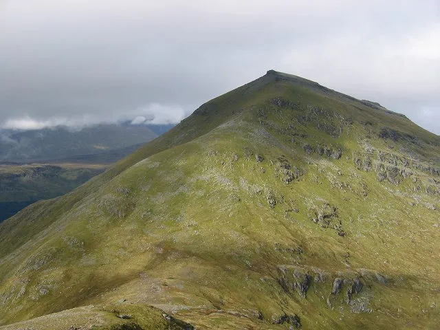 Ben More Mountain, Stirling9.1 km S
-
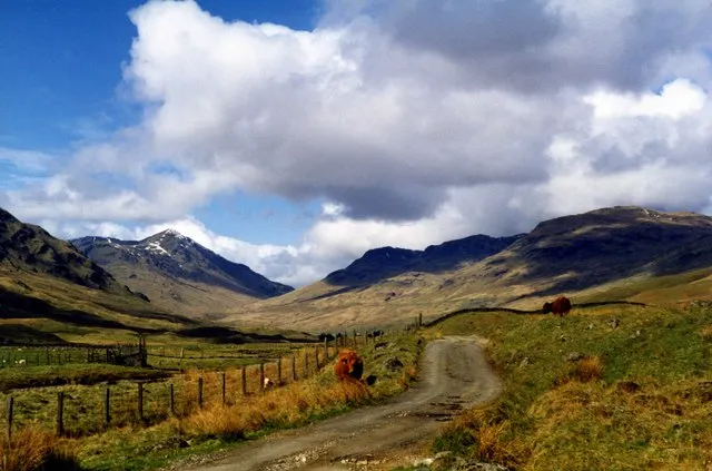 Glen Lochay Natural site, Stirling8.4 km E
-
Beinn Challuim South Top Mountain, Stirling3.8 km SW
-
Creag Mhor Mountain, Stirling3.9 km NW
-
Stob an Fhir-Bhogha Mountain, Stirling3.9 km N
-
Creag na h-Achlarich Mountain, Stirling4 km N
Sources & licences
Data last updated: