Meall Monachyle
Located in Stirling, Scotland Coordinates: 56°21′10″ N 4°29′03″ W
- Elevation
- 648 m
- above sea level
- Local time
- UTC+00:00
- Europe/London · UTC+00:00
About Meall Monachyle
Meall Monachyle is a mountain. Location: Stirling, Scotland. Elevation: 648 m.
In comparison
- No. 2634 of 18223 mountains in United Kingdom by elevation
- 77 sights and natural places within 10 km Inverlochlarig Burn, Loch Doine
Nearest towns and villages
-
Balquhidder Village, Stirling6.8 km E
-
Suie Village, Stirling7.4 km N
-
Inverardran Village, Stirling8.7 km NW
-
Crianlarich Village, Stirling9.6 km NW
-
Kingshouse Village, Stirling9.8 km E
-
Auchlyne Village, Stirling10 km NE
Nearby attractions & nature
Everything nearby-
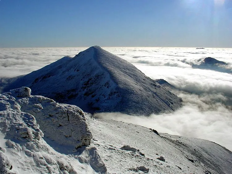 Stob Binnein Mountain, Stirling3.8 km NW
-
Creag nan Speireag Mountain, Stirling2.5 km E
-
Meall na Dige Mountain, Stirling2.5 km NW
-
Am Binnein Mountain, Stirling3.1 km NW
-
Creag a' Bhragit Mountain, Stirling2.6 km NW
-
Stob Bealach na Frithe Mountain, Stirling2.6 km NW
-
Stob Creagach Mountain, Stirling2.7 km N
-
Loch Doine Lake, Stirling2.4 km SE
More nature in United Kingdom
-
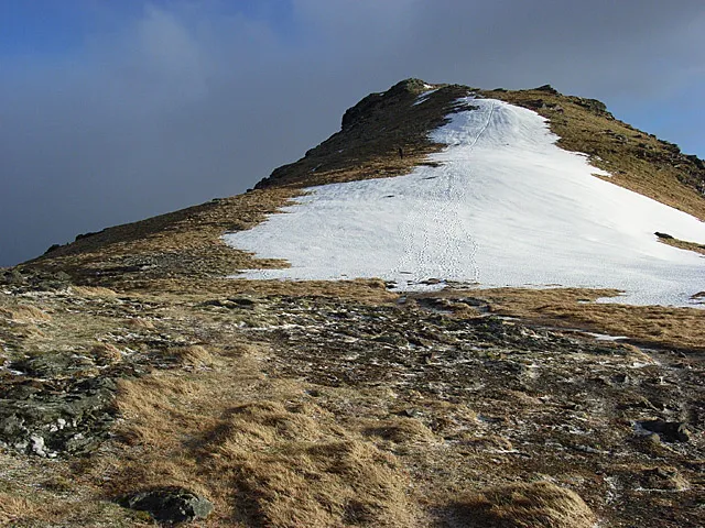 Beinn Tulaichean Mountain, Stirling5 km W
-
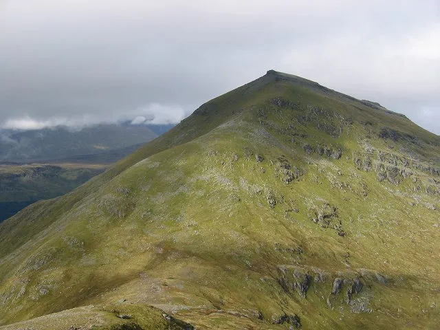 Ben More Mountain, Stirling5.1 km NW
-
Stob Coire an Lochain Mountain, Stirling3.1 km NW
-
Ceann na Baintighearna East Top Mountain, Stirling3.1 km SE
-
Stob Caol Mountain, Stirling3.1 km NE
-
The Stob Mountain, Stirling3.6 km NE
Sources & licences
Data last updated: