Stuc a' Chroin
Located in Stirling, Scotland Coordinates: 56°19′45″ N 4°14′15″ W
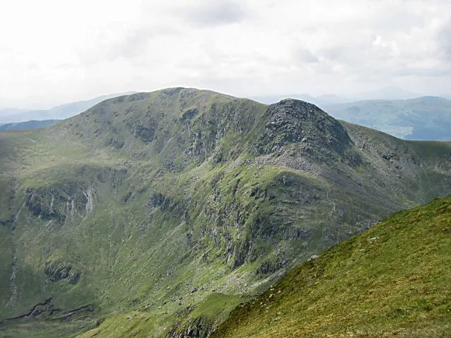
- Elevation
- 973 m
- above sea level
- Local time
- UTC+00:00
- Europe/London · UTC+00:00
About Stuc a' Chroin
Stuc a' Chroin is a mountain. Location: Stirling, Scotland. Elevation: 973 m.
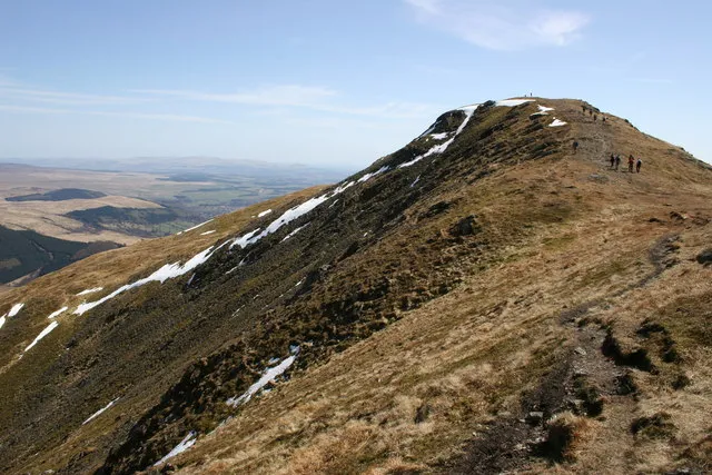
Stùc a' Chroin (Scottish Gaelic: Stùc a' Chrodhain, 'cloven hoof peak') (also translated as 'hill of the little sheepfold' or 'peak of danger') is a mountain in the Breadalbane region of the southern Scottish Highlands. It is a Munro, with a height of 975 metres (3,199 ft). It lies a short distance south of Ben Vorlich and east of Strathyre. The boundary between the council areas of Perth and Kinross and Stirling passes through the summit of the peak, and the town of Callander lies to the south.
Read more on Wikipedia Text: Wikipedia contributors · CC BY-SA 4.0 · shortened
At a glance
- Topographic prominence
- 252 m
Source: Wikidata
In comparison
- No. 367 of 18223 mountains in United Kingdom by elevation
- 70 sights and natural places within 10 km Stuc a' Chroin North Top, Leacann Amarach
Airports nearest to Stuc a' Chroin
- Glasgow Airport (GLA) Glasgow 52 km
- Edinburgh Airport (EDI) Ingliston, Edinburgh 68 km
- Dundee Airport (DND) Dundee 76 km
Straight-line distance; airports with scheduled flights only. Source: OurAirports (public domain).
Nearest towns and villages
-
Callander Village, Stirling9.6 km S
-
Ardvorlich Village, Perth and Kinross4.4 km N
-
Auchtoo Village, Stirling5.4 km NW
-
Strathyre Village, Stirling5.7 km W
-
Kingshouse Village, Stirling6.1 km NW
-
Lochearnhead Village, Stirling7 km NW
Nearby attractions & nature
Everything nearby-
Stuc a' Chroin North Top Mountain, Perth and Kinross0.5 km N
-
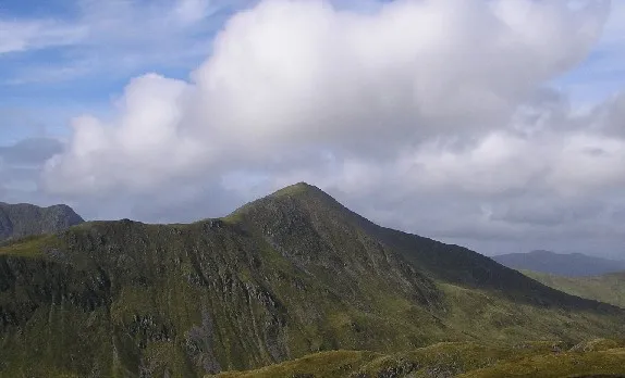 Ben Vorlich Mountain, Perth and Kinross1.9 km NE
-
Leacann Amarach Mountain, Stirling1 km S
-
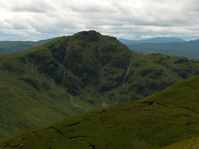 Beinn Each Mountain, Stirling2.3 km SW
-
Stuc a' Chroin West Top Mountain, Stirling1.4 km SW
-
Beinn Each North Top Mountain, Stirling2 km SW
-
Glen Ample Natural site, Stirling2.9 km NW
-
Creagan nan Gabhar Mountain, Stirling2.6 km N
More nature in United Kingdom
-
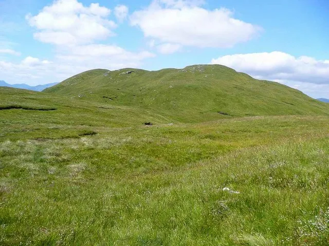 Benvane Mountain, Stirling9 km SW
-
Meall na Caora Mountain, Stirling2.7 km S
-
 Ben Ledi Mountain, Stirling9.5 km SW
-
Sgiath a' Chaise Mountain, Stirling3.4 km W
-
Sgiath a' Chaise North Top Mountain, Stirling3.4 km W
-
Beinn Bhreac Mountain, Stirling3.4 km S
Sources & licences
Data last updated: · 2 independent sources