Earlston
Located in The Scottish Borders, Scotland Coordinates: 55°38′19″ N 2°40′30″ W
- Population
- 1,780
- 1.8K
- Elevation
- 108 m
- above sea level
- Local time
- UTC+00:00
- Europe/London · UTC+00:00
About Earlston
Earlston is a village. Location: The Scottish Borders, Scotland. Population: 1,780. Elevation: 108 m.
Earlston (Scottish Gaelic: Dùn Airchill) is a historic market town and civil parish in the Scottish Borders, Scotland. Historically part of the county of Berwickshire, the town lies on the River Leader in Lauderdale, and is approximately 29 miles (47 km) south-southeast of Edinburgh, 63 miles (102 km) east-southeast of Glasgow, and 58 miles (96 km) south-southeast of Perth. It had a population of 1,765 in 2022.
Read more on Wikipedia Text: Wikipedia contributors · CC BY-SA 4.0 · shortened
In comparison
- No. 13 of 31 places in The Scottish Borders by population
- Nearest larger town: Melrose, 5 km SW
- 38 sights and natural places within 10 km White Hill, Black Hill
Climate of Earlston
Best months for sightseeing: June–August.
| Month | Jan | Feb | Mar | Apr | May | Jun | Jul | Aug | Sep | Oct | Nov | Dec |
|---|---|---|---|---|---|---|---|---|---|---|---|---|
| Average high (°C) | 6° | 6° | 8° | 11° | 14° | 17° | 19° | 19° | 16° | 13° | 9° | 7° |
| Average low (°C) | 0° | 0° | 2° | 3° | 5° | 8° | 10° | 10° | 8° | 6° | 2° | 1° |
| Precipitation (mm) | 93 | 69 | 76 | 57 | 60 | 67 | 71 | 84 | 86 | 98 | 93 | 92 |
Monthly averages for 1970–2000 at about 18 km resolution, adjusted for elevation. Highlighted months are mild and relatively dry. Source: WorldClim 2.1 (CC BY 4.0).
Airports nearest to Earlston
- Edinburgh Airport (EDI) Ingliston, Edinburgh 56 km
- Newcastle International Airport (NCL) Newcastle upon Tyne, Tyne and Wear 92 km
- Dundee Airport (DND) Dundee 93 km
Straight-line distance; airports with scheduled flights only. Source: OurAirports (public domain).
Nearby attractions & nature
Everything nearby-
White Hill Mountain, The Scottish Borders0.9 km S
-
Black Hill Mountain, The Scottish Borders1.8 km SE
-
Redpath Hill Mountain, The Scottish Borders3.2 km SE
-
Legerwood Hill Mountain, The Scottish Borders3.3 km N
-
Scabbet Hill Mountain, The Scottish Borders3.5 km SW
-
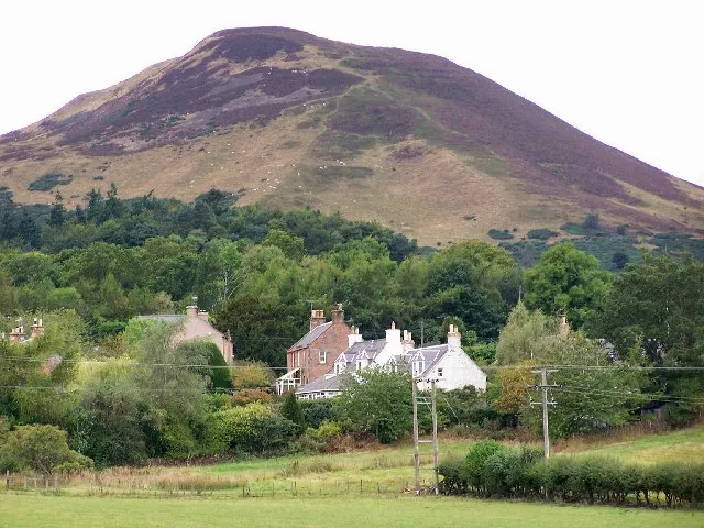 Eildon Hills Mountain, Scotland6.7 km SW
Sources & licences
Data last updated: · 2 independent sources