The Scottish Borders
Located in Scotland, United Kingdom Coordinates: 55°35′00″ N 2°50′00″ W
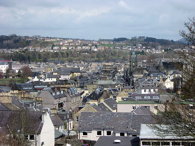
- Population
- 116,980
- 117K
- Elevation
- 156 m
- above sea level
- Local time
- UTC+00:00
- Europe/London · UTC+00:00
- Places inside
- 889
- listed under The Scottish Borders
- Airports
- EDI Edinburgh Airport53 km
- NCL Newcastle International Airport95 km
About The Scottish Borders
The Scottish Borders is a district. Location: Scotland, United Kingdom. Population: 116,980. The best months to visit are June–August. The nearest airport is Edinburgh Airport (53 km). Nearby sights include Caddon Water and Eildon Hills.
Photos of The Scottish Borders
-
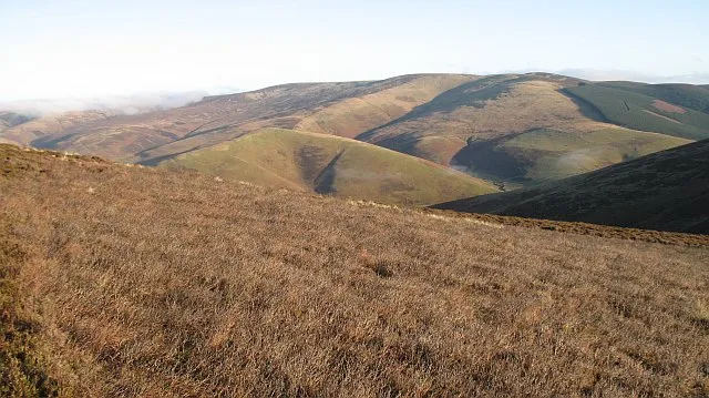
Windlestraw Law Richard Webb · CC BY-SA 2.0 -
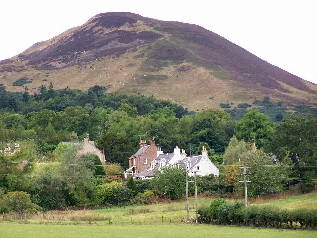
Eildon Hills Jenny Gumbrell · CC BY-SA 2.0 -
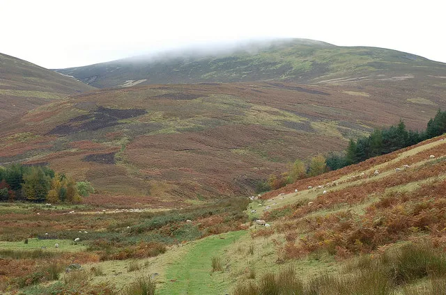
Dun Rig Jim Barton · CC BY-SA 2.0 -
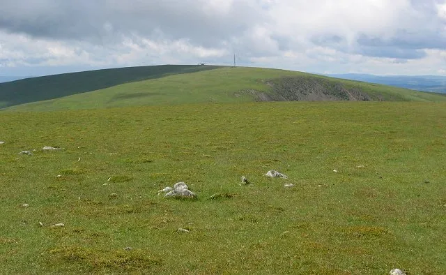
Broad Law Richard Webb · CC BY-SA 2.0 -
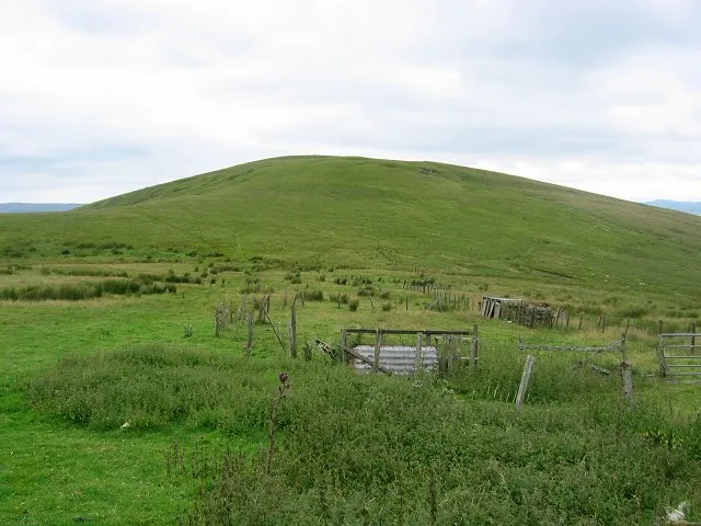
King Seat Richard Webb · CC BY-SA 2.0


Climate of The Scottish Borders
Best months for sightseeingBest months for sightseeing: June–August.
This month · November
A cold month
Day 8° · Night 2° · Rain 93 mm
- Hottest month
- July (day 19°)
- Coldest month
- January (night 0°)
- Wettest month
- October (98 mm)
- Driest month
- April (57 mm)
Bars: average monthly low and high temperature. Below: precipitation. Monthly averages for 1970–2000 at about 18 km resolution, adjusted for elevation. Highlighted months are mild and relatively dry. Source: WorldClim 2.1 (CC BY 4.0).
Show values as a table
| Month | Jan | Feb | Mar | Apr | May | Jun | Jul | Aug | Sep | Oct | Nov | Dec |
|---|---|---|---|---|---|---|---|---|---|---|---|---|
| Average high (°C) | 6° | 6° | 8° | 11° | 14° | 17° | 19° | 18° | 15° | 12° | 8° | 6° |
| Average low (°C) | 0° | 0° | 1° | 2° | 5° | 8° | 10° | 9° | 8° | 5° | 2° | 1° |
| Precipitation (mm) | 93 | 69 | 76 | 57 | 60 | 67 | 71 | 84 | 86 | 98 | 93 | 92 |
How to get to The Scottish Borders
The nearest airport is Edinburgh Airport (EDI), 53 km to the northwest as the crow flies. The nearest large city is Edinburgh, 47 km to the northwest.
Airports
- Edinburgh Airport (EDI) Ingliston, Edinburgh 53 kmnorthwest
- Newcastle International Airport (NCL) Newcastle upon Tyne, Tyne and Wear 95 kmsoutheast
- Dundee Airport (DND) Dundee 98 kmnorth
Nearby large cities
- Edinburgh Population: 515K 47 kmnorthwest
- Glasgow Population: 626.4K 95 kmwest
- Dundee Population: 148.2K 99 kmnorth
- Newcastle upon Tyne Population: 300.1K 103 kmsoutheast
- Sunderland Population: 170.1K 119 kmsoutheast
Straight-line distances; road distances are longer. Airport data: OurAirports.
Day trips from The Scottish Borders
Within 100 km: 593 historic and cultural sites, 2,255 natural sites, 581 lakes, rivers and coasts.
0–25 km294 places
- Oldmill Island Island 15 kmE
- The Batta Island 8 kmNW
- Mill Island Island 18 kmE
- Shaws Upper Loch Lake 17 kmSW
25–60 km1,458 places
- Burntisland Beach Beach 59 kmNW
- Cramond beach Beach 53 kmNW
- Portobello Beach Beach 45 kmNW
- Gullane Beach Beach 51 kmN
60–100 km1,677 places
- Powillimount Beach Beach 90 kmSW
- Longhoughton Beach Beach 80 kmE
- South Wamses Island 76 kmE
- Old Law Island 67 kmE
Straight-line distances.
Places in The Scottish Borders
889 placesCities & villages17
- Ednam · Village
- Edrom · Village
- Eildon · Village
- Ellemford · Village
- Ettrickbridge End · Village
- Fishwick · Village
- Fogo · Village
- Foulden · Village
- Foulshiels · Village
- Fountainhall · Village
- Frankscroft · Neighbourhood
- Frogden · Village
- Galafoot · Neighbourhood
- Gala Park · Neighbourhood
- Gattonside · Village
- Gavinton · Village
- Gilston · Village
Mountains & nature43
- Ednam Hill · Mountain
- Eildon Hill North · Mountain
- Eildon Wester Hill · Mountain
- Eldinhope Knowe · Mountain
- Eldinhope North Hill · Mountain
- Elibank Law · Mountain
- Ellers Cleuch Rig · Mountain
- Erie Hill · Mountain
- Esdale Law · Mountain
- Ewe Hill · Mountain
- Ewelair Hill · Mountain
- Ewieside Hill · Mountain
- Fadden · Mountain
- Fala Hill · Mountain
- Fall Law · Mountain
- Fanna Hill · Mountain
- Fans Hill · Mountain
- Far Height · Mountain
- Far Hill · Mountain
- Fasset Hill · Mountain
- Fastheugh Hill · Mountain
- Fauldshope Hill · Mountain
- Faw Hill · Mountain
- Fawhope Rig · Mountain
- Faw Mount · Mountain
- Fawside Hill · Mountain
- Ferniehirst Hill · Mountain
- Feuars Hill · Mountain
- Fifescar Knowe · Mountain
- Firestane Edge · Mountain
- Flint Hill · Mountain
- Floater Rock · Mountain
- Foal Burn Head · Mountain
- Foul Carr · Mountain
- Foulshiels Hill · Mountain
- Gala Hill · Mountain
- Gallow Law · Mountain
- Gamescleuch Hill · Mountain
- Garelet Dod · Mountain
- Garelet Hill · Mountain
- Garvald Law · Mountain
- Geordie's Hill · Mountain
- Gersit Law · Mountain
Nearby attractions & nature
Everything nearby-
Caddon Water River, Scotland3.7 km NW
-
Eildon Hills Mountain, Scotland7.4 km E
-
Gala Water River, Scotland4.9 km NE
-
Allan Water River, Scotland6.4 km NE
-
Yarrow Water River, Scotland8.5 km SW
-
Ettrick Water River, Scotland8.5 km SW
Other regions in Scotland
-
Midlothian District, Scotland31 km NW
-
 South Lanarkshire District, Scotland63 km W
-
North Lanarkshire District, Scotland75 km NW
-
East Lothian District, Scotland37 km N
-
Edinburgh District, Scotland47 km NW
-
East Ayrshire District, Scotland90 km W
Sources & licences
Data last updated: