Capel Parc
Located in Rhosybol, Anglesey Coordinates: 53°21′22″ N 4°20′01″ W
- Elevation
- 50 m
- above sea level
- Local time
- UTC+00:00
- Europe/London · UTC+00:00
About Capel Parc
Capel Parc is a village. Location: Rhosybol, Anglesey. Elevation: 50 m.
In comparison
- Nearest larger town: Penysarn, 4 km N
- 21 sights and natural places within 10 km Pen y Castell, Barclodiau
Nearby attractions & nature
Everything nearby-
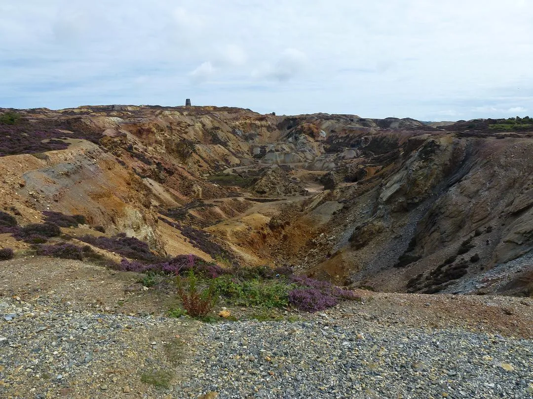 Parys Mountain Mountain, Amlwch3.7 km N
-
Pen y Castell Mountain, Llanddyfnan2.6 km SE
-
Barclodiau Mountain, Llanddyfnan2.8 km SE
-
Mynydd Bodafon [Yr Arwydd] Island, Moelfre2.9 km SE
-
Traeth Lligwy Beach, Moelfre4.9 km E
-
Pen y Foel Mountain, Llannerch-y-Medd3.3 km SW
Sources & licences
Data last updated: