Beulah
Located in Ceredigion, Wales Coordinates: 52°04′45″ N 4°31′04″ W
- Elevation
- 132 m
- above sea level
- Local time
- UTC+00:00
- Europe/London · UTC+00:00
- Places inside
- 19
- listed under Beulah
About Beulah
Beulah is a municipality. Location: Ceredigion, Wales. Elevation: 132 m.
In comparison
- Nearest larger town: Newcastle Emlyn, 6 km SE
- 37 sights and natural places within 10 km Scotland Hill, Pen Lan
- Listed here: Village: 11, Mountain: 4, Historic site: 3, Island: 1
Places in Beulah
19 places-
Allt Gudd Mountain
-
Allt y Ddinas Mountain
-
Betws Ifan Village
-
Betws Ifan Village
-
Brongwyn Village
-
Brongwyn Village
-
Capel Tygwydd Village
-
Cenarth Village
-
Gaer Historic site
-
Llandygwydd Village
-
Llwynduris Castle Mound Historic site
-
Neuadd Cross Village
-
Pen Lan Mountain
-
Pont Hirwaun Village
-
Rhyd Village
-
Scotland Hill Mountain
-
Stradmore Motte Historic site
-
Troed-y-rhiw-Siôn Village
-
Ynys Fawr Island
Nearby attractions & nature
Everything nearby-
Blaenporth Castle Historic site, Aberporth3.7 km N
-
Parc y Domen Issa Historic site, Cenarth3.9 km S
-
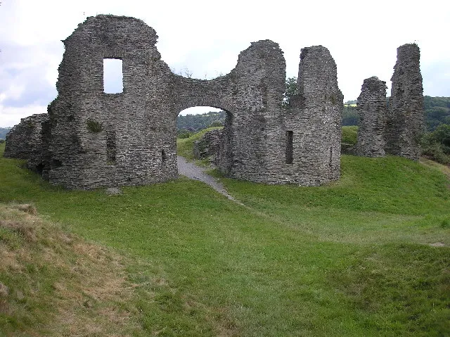 Newcastle Emlyn Castle Historic site, Newcastle Emlyn5.8 km SE
-
Gaer Pwntan Mountain, Penbryn4.4 km N
-
Pen-rhiw-olau Mountain, Cenarth5.2 km S
-
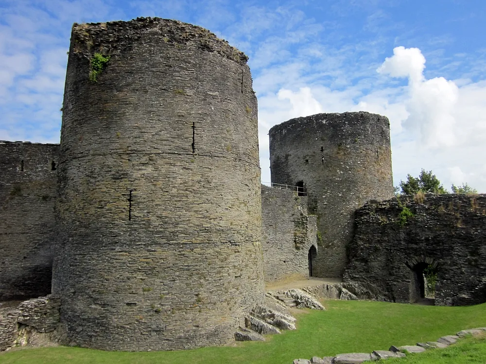 Cilgerran Castle Historic site, Cilgerran8.4 km W
-
Adpar Motte Historic site, Llandyfriog5.5 km SE
-
St Marys Old Church Motte Historic site, Llandyfriog6.9 km E
Sources & licences
Data last updated: