- Elevation
- 169 m
- above sea level
- Local time
- UTC+00:00
- Europe/London · UTC+00:00
- Airports
- CWL Cardiff International Airport121 km
- LPL Liverpool John Lennon Airport136 km
About Sunny Hill
Sunny Hill is a mountain. Location: Llanfarian, Ceredigion. Elevation: 169 m. The best months to visit are June–August. The nearest airport is Cardiff International Airport (121 km). Nearby sights include Allt Wen and Esgair-hir.
Photos of Sunny Hill
-
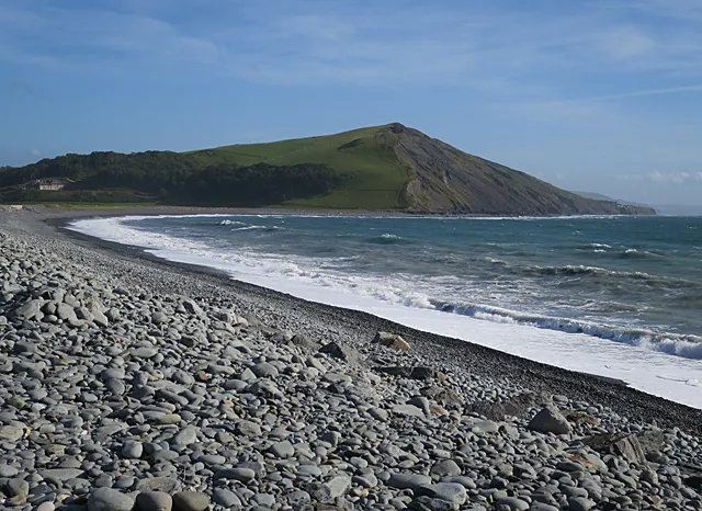
Allt Wen Anne Burgess · CC BY-SA 2.0 -
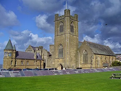
St Michael's Church Tanya Dedyukhina · CC BY 3.0 -
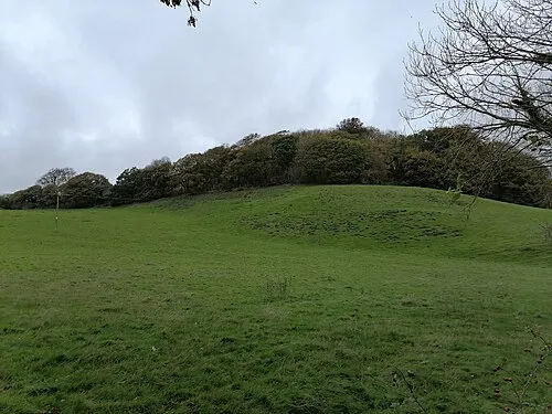
Tan y Castell PKwicipics · CC BY-SA 3.0 -
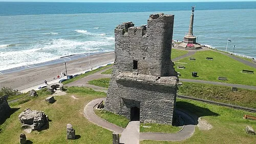
Aberystwyth Castle Llywelyn2000 · CC BY-SA 4.0


Climate of Sunny Hill
Best months for sightseeingBest months for sightseeing: June–August.
This month · November
A wet month
Day 10° · Night 4° · Rain 134 mm
- Hottest month
- July (day 18°)
- Coldest month
- February (night 2°)
- Wettest month
- November (134 mm)
- Driest month
- May (61 mm)
Bars: average monthly low and high temperature. Below: precipitation. Monthly averages for 1970–2000 at about 18 km resolution, adjusted for elevation. Highlighted months are mild and relatively dry. Source: WorldClim 2.1 (CC BY 4.0).
Show values as a table
| Month | Jan | Feb | Mar | Apr | May | Jun | Jul | Aug | Sep | Oct | Nov | Dec |
|---|---|---|---|---|---|---|---|---|---|---|---|---|
| Average high (°C) | 7° | 7° | 8° | 11° | 14° | 16° | 18° | 18° | 16° | 13° | 10° | 8° |
| Average low (°C) | 2° | 2° | 3° | 4° | 6° | 9° | 11° | 11° | 9° | 7° | 4° | 3° |
| Precipitation (mm) | 116 | 84 | 96 | 65 | 61 | 78 | 78 | 95 | 101 | 124 | 134 | 128 |
How to get to Sunny Hill
The nearest airport is Cardiff International Airport (CWL), 121 km to the southeast as the crow flies. The nearest large city is Swansea, 85 km to the south.
Airports
- Cardiff International Airport (CWL) Cardiff 121 kmsoutheast
- Liverpool John Lennon Airport (LPL) Liverpool 136 kmnortheast
- Bristol Airport (BRS) Bristol 146 kmsoutheast
Nearby large cities
- Swansea Population: 300.4K 85 kmsouth
- Newport Population: 161.5K 116 kmsoutheast
- Telford Population: 155.6K 117 kmeast
- Cardiff Population: 372.1K 118 kmsoutheast
- Worcester Population: 101.7K 130 kmeast
Straight-line distances; road distances are longer. Airport data: OurAirports.
Day trips from Sunny Hill
Within 100 km: 774 historic and cultural sites, 2,525 natural sites, 213 lakes, rivers and coasts.
0–25 km231 places
- Plynlimon Mountain 24 kmNE
- Garn Gron Mountain 23 kmSE
- Mynydd Bach Mountain 10 kmS
- Constitution Hill Mountain 6 kmN
25–60 km1,122 places
- Poppit Sands Beach 51 kmSW
- Mwnt beach Beach 46 kmSW
- Tresaith Beach Beach 39 kmSW
- Llangrannog's Beach Beach 35 kmSW
60–100 km2,159 places
- St Justinian Natural site 100 kmSW
- Porth Clais Natural site 99 kmSW
- Port Selau Natural site 99 kmSW
- Manorbier Beach Beach 95 kmSW
Straight-line distances.
Nearest towns and villages
-
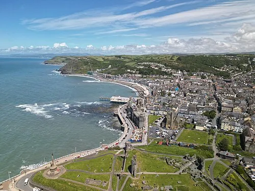 Aberystwyth Town, Aberystwyth4.7 km N
-
Penparcau Village, Aberystwyth3.6 km NE
-
Llanychaiarn Village, Llanfarian1.4 km NE
-
Pont Lanio Village, Llanfarian1.8 km S
-
Rhyd-y-felin Village, Llanfarian2.3 km NE
-
Llanilar Village, Llanilar5.3 km E
Nearby attractions & nature
Everything nearby-
Allt Wen Mountain, Llanfarian1 km N
-
Esgair-hir Mountain, Llanfarian1.6 km S
-
Coed Tanycastell Mountain, Llanfarian2.1 km NE
-
Pen Tancwarel Mountain, Llanfarian2.6 km SE
-
Tan y Castell Historic site, Llanfarian2.1 km NE
-
Pendinas Mountain, Aberystwyth3.2 km N
-
Blaenplwyf Transmitting Station Landmark, Llanfarian1.6 km S
-
Crugyn Dimai Historic site, Llanfarian2.4 km NE
Sources & licences
Data last updated: