- Local time
- UTC+00:00
- Europe/London · UTC+00:00
- Elevation
- 144 m
- above sea level
- Airports
- LPL Liverpool John Lennon Airport55 km
- MAN Manchester Airport87 km
About Gwerclas
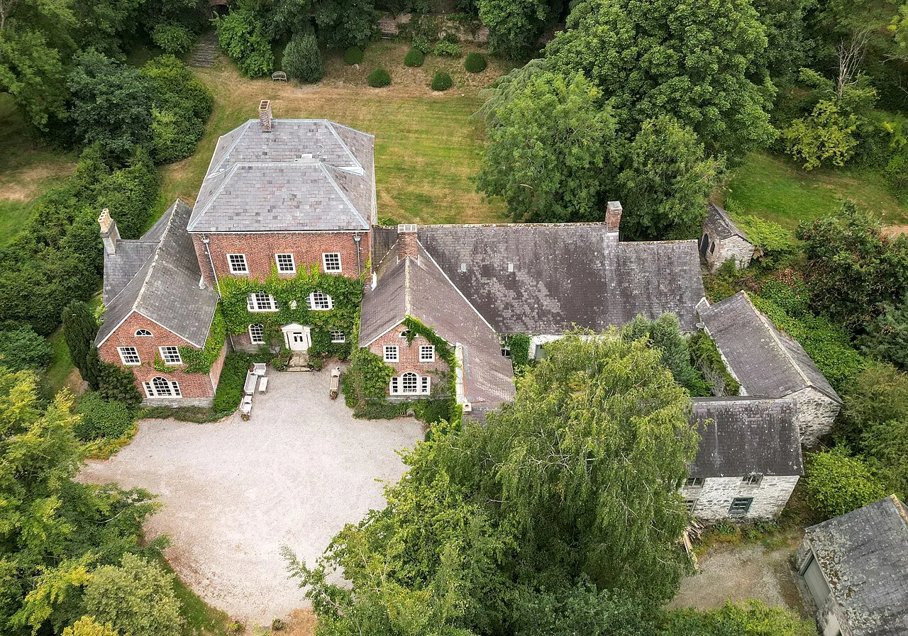
Gwerclas is a historic site. Location: Cynwyd, Denbighshire.
Gwerclas usually refers to a former castle and farmstead close to Cymmer in the parish of Llangar in the ancient cantref of Edeyrnion, Wales. It is now just an uninhabited upland area. The modest castle found at the site during the early Middle Ages is now completely ruinous. The ancient Barons of Cymmer yn Edeyrnion (known as the Hughes of Gwerclas) cite this place as their ancestral home.
Source: Wikipedia · CC BY-SA 4.0
At a glance
- Built
- 1767
- Heritage designation
- Grade II* listed building, National Monument of Wales
Source: Wikidata
Photos of Gwerclas
-
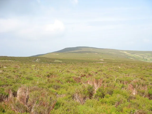
Moel Fferna Eric Jones · CC BY-SA 2.0 -
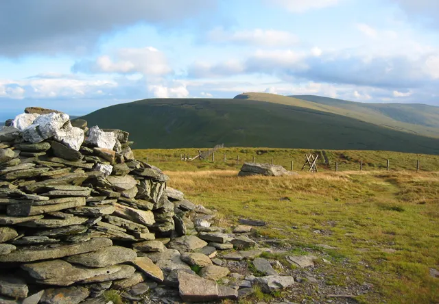
Cadair Bronwen Espresso Addict · CC BY-SA 2.0 -
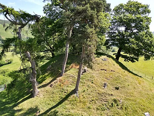
Owain Glyndwrs Mount Llywelyn2000 · CC BY-SA 4.0


Climate of Gwerclas
Best months for sightseeingBest months for sightseeing: June–August.
This month · November
A wet month
Day 10° · Night 4° · Rain 153 mm
- Hottest month
- July (day 20°)
- Coldest month
- February (night 1°)
- Wettest month
- November (153 mm)
- Driest month
- May (80 mm)
Bars: average monthly low and high temperature. Below: precipitation. Monthly averages for 1970–2000 at about 18 km resolution, adjusted for elevation. Highlighted months are mild and relatively dry. Source: WorldClim 2.1 (CC BY 4.0).
Show values as a table
| Month | Jan | Feb | Mar | Apr | May | Jun | Jul | Aug | Sep | Oct | Nov | Dec |
|---|---|---|---|---|---|---|---|---|---|---|---|---|
| Average high (°C) | 7° | 7° | 9° | 11° | 15° | 18° | 20° | 19° | 17° | 13° | 10° | 8° |
| Average low (°C) | 2° | 1° | 3° | 4° | 6° | 9° | 11° | 11° | 9° | 7° | 4° | 3° |
| Precipitation (mm) | 142 | 105 | 120 | 88 | 80 | 89 | 83 | 103 | 116 | 133 | 153 | 151 |
How to get to Gwerclas
The nearest airport is Liverpool John Lennon Airport (LPL), 55 km to the northeast as the crow flies. The nearest large city is Birkenhead, 54 km to the northeast.
Airports
- Liverpool John Lennon Airport (LPL) Liverpool 55 kmnortheast
- Manchester Airport (MAN) Manchester, Greater Manchester 87 kmnortheast
- Birmingham Airport (BHX) Birmingham, West Midlands 126 kmsoutheast
Nearby large cities
- Birkenhead Population: 325.3K 54 kmnortheast
- Liverpool Population: 496.8K 57 kmnortheast
- St Helens Population: 183.2K 70 kmnortheast
- Telford Population: 155.6K 72 kmsoutheast
- Warrington Population: 172.3K 73 kmnortheast
Straight-line distances; road distances are longer. Airport data: OurAirports.
Day trips from Gwerclas
Within 100 km: 686 historic and cultural sites, 2,157 natural sites, 198 lakes, rivers and coasts.
0–25 km343 places
- Ynys Goediog Island 21 kmW
- Lake Vyrnwy Lake 20 kmS
- Llyn Brân Lake 19 kmNW
- Bala Lake Lake 18 kmSW
25–60 km1,311 places
- Thurstaston Beach Beach 45 kmNE
- Ynys Tywyn Island 48 kmW
- Puffin Island Island 57 kmNW
- Hilbre Island Island 48 kmN
60–100 km1,387 places
- Anglesey Island 71 kmNW
- Whistling Sands Beach 90 kmW
- Traeth Penllech Beach 85 kmW
- Porth Towyn Beach Beach 82 kmW
Straight-line distances.
Nearby attractions & nature
Everything nearby-
Rug Park Motte Historic site, Corwen1.8 km N
-
Afon Alwen River, Wales0.7 km E
-
Corwen Historic site, Corwen2.9 km NE
-
Ucheldre Mound Historic site, Corwen3.1 km N
-
Maesmor Hall Castle Mound Historic site, Llangwm4.8 km NW
-
Y Foel Mountain, Cynwyd3.2 km SW
-
Caer y Bont Historic site, Llandrillo4 km S
-
Tomen y Castell Historic site, Gwyddelwern4 km NE
Nearest towns and villages
-
Cynwyd Village, Cynwyd1 km S
-
 Corwen Village, Corwen2.6 km NE
-
Rug Village, Corwen1.7 km N
-
Ty'n-y-cefn Village, Corwen1.7 km NE
Sources & licences
Data last updated: · 2 independent sources