- Elevation
- 630 m
- above sea level
- Local time
- UTC+00:00
- Europe/London · UTC+00:00
- Airports
- LPL Liverpool John Lennon Airport53 km
- MAN Manchester Airport82 km
About Moel Fferna
Moel Fferna is a mountain. Location: Cynwyd, Denbighshire. Elevation: 630 m.
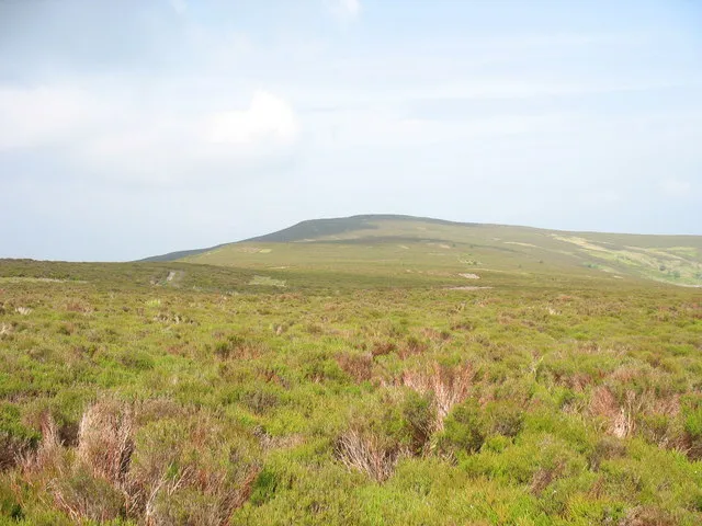
Moel Fferna is a mountain in Denbighshire, Wales and forms part of the Berwyn range. It is the most northern outpost of the range. The summit is covered in deep heather and has a shelter cairn. A trig point was used to mark the summit, but has since been destroyed. To the south is Pen Bwlch Llandrillo, followed by Cadair Bronwen. It is the highest peak in the Clwydian Range and Dee Valley Area of Outstanding Natural Beauty.
Source: Wikipedia · CC BY-SA 4.0
At a glance
- Topographic prominence
- 105 m
Source: Wikidata
Photos of Moel Fferna
-

John H Darch · CC BY-SA 2.0 -

Steven Brown · CC BY-SA 2.0 -

Steven Brown · CC BY-SA 2.0 -

Steven Brown · CC BY-SA 2.0 -

Steven Brown · CC BY-SA 2.0


Climate of Moel Fferna
Best months for sightseeingBest months for sightseeing: July–August.
This month · November
A wet month
Day 6° · Night 1° · Rain 135 mm
- Hottest month
- July (day 17°)
- Coldest month
- February (night -2°)
- Wettest month
- November (135 mm)
- Driest month
- May (75 mm)
Bars: average monthly low and high temperature. Below: precipitation. Monthly averages for 1970–2000 at about 18 km resolution, adjusted for elevation. Highlighted months are mild and relatively dry. Source: WorldClim 2.1 (CC BY 4.0).
Show values as a table
| Month | Jan | Feb | Mar | Apr | May | Jun | Jul | Aug | Sep | Oct | Nov | Dec |
|---|---|---|---|---|---|---|---|---|---|---|---|---|
| Average high (°C) | 4° | 4° | 6° | 8° | 12° | 14° | 17° | 16° | 13° | 10° | 6° | 5° |
| Average low (°C) | -2° | -2° | -1° | 0° | 3° | 6° | 8° | 8° | 6° | 3° | 1° | -1° |
| Precipitation (mm) | 125 | 93 | 105 | 80 | 75 | 83 | 75 | 94 | 106 | 118 | 135 | 133 |
How to get to Moel Fferna
The nearest airport is Liverpool John Lennon Airport (LPL), 53 km to the northeast as the crow flies. The nearest large city is Birkenhead, 53 km to the north.
Airports
- Liverpool John Lennon Airport (LPL) Liverpool 53 kmnortheast
- Manchester Airport (MAN) Manchester, Greater Manchester 82 kmnortheast
- Birmingham Airport (BHX) Birmingham, West Midlands 119 kmsoutheast
Nearby large cities
- Birkenhead Population: 325.3K 53 kmnorth
- Liverpool Population: 496.8K 56 kmnortheast
- Telford Population: 155.6K 66 kmsoutheast
- St Helens Population: 183.2K 68 kmnortheast
- Warrington Population: 172.3K 70 kmnortheast
Straight-line distances; road distances are longer. Airport data: OurAirports.
Day trips from Moel Fferna
Within 100 km: 729 historic and cultural sites, 2,227 natural sites, 197 lakes, rivers and coasts.
0–25 km348 places
- Lake Vyrnwy Lake 21 kmSW
- Llyn Brân Lake 24 kmNW
- Bala Lake Lake 23 kmW
- Alwen Reservoir Lake 23 kmNW
25–60 km1,314 places
- Thurstaston Beach Beach 45 kmN
- Ynys Tywyn Island 55 kmW
- Hilbre Island Island 49 kmN
- Ynys Gifftan Island 52 kmW
60–100 km1,491 places
- Anglesey Island 78 kmNW
- Whistling Sands Beach 96 kmW
- Traeth Penllech Beach 91 kmW
- Porth Towyn Beach Beach 89 kmW
Straight-line distances.
Nearest towns and villages
Nearby attractions & nature
Everything nearby-
Cerrig Coediog Mountain, Cynwyd1.2 km S
-
Pen Creigiau'r Barcut Mountain, Cynwyd1.9 km W
-
Creigiau'r Hyrddod Mountain, Llansantffraid Glyn Ceiriog2.9 km SE
-
Cefn Perfedd Mountain, Cynwyd3 km SW
-
Pen Tan-y-graig Mountain, Corwen3.2 km E
-
Bryn-llus Mountain, Cynwyd3.3 km W
-
Y Drum Mountain, Cynwyd3.9 km SW
-
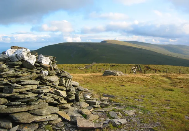 Cadair Bronwen Mountain, Llandrillo6.5 km SW
Sources & licences
Data last updated: · 2 independent sources