- Elevation
- 343 m
- above sea level
- Local time
- UTC+00:00
- Europe/London · UTC+00:00
- Airports
- LPL Liverpool John Lennon Airport92 km
- MAN Manchester Airport123 km
About Y Foel
Y Foel is a mountain. Location: Brithdir and Llanfachreth, Gwynedd. Elevation: 343 m. The best months to visit are July–August. The nearest airport is Liverpool John Lennon Airport (92 km). Nearby sights include Pen y Bwlch-coch and Waun-oer.
Climate of Y Foel
Best months for sightseeingBest months for sightseeing: July–August.
This month · November
A wet month
Day 8° · Night 3° · Rain 177 mm
- Hottest month
- July (day 18°)
- Coldest month
- February (night 0°)
- Wettest month
- November (177 mm)
- Driest month
- May (87 mm)
Bars: average monthly low and high temperature. Below: precipitation. Monthly averages for 1970–2000 at about 18 km resolution, adjusted for elevation. Highlighted months are mild and relatively dry. Source: WorldClim 2.1 (CC BY 4.0).
Show values as a table
| Month | Jan | Feb | Mar | Apr | May | Jun | Jul | Aug | Sep | Oct | Nov | Dec |
|---|---|---|---|---|---|---|---|---|---|---|---|---|
| Average high (°C) | 6° | 6° | 8° | 10° | 14° | 16° | 18° | 18° | 15° | 12° | 8° | 7° |
| Average low (°C) | 1° | 0° | 1° | 2° | 5° | 8° | 10° | 10° | 8° | 6° | 3° | 1° |
| Precipitation (mm) | 164 | 119 | 140 | 98 | 87 | 98 | 98 | 117 | 131 | 158 | 177 | 175 |
How to get to Y Foel
The nearest airport is Liverpool John Lennon Airport (LPL), 92 km to the northeast as the crow flies. The nearest large city is Birkenhead, 90 km to the northeast.
Airports
- Liverpool John Lennon Airport (LPL) Liverpool 92 kmnortheast
- Manchester Airport (MAN) Manchester, Greater Manchester 123 kmnortheast
- Birmingham Airport (BHX) Birmingham, West Midlands 144 kmeast
Nearby large cities
- Birkenhead Population: 325.3K 90 kmnortheast
- Telford Population: 155.6K 93 kmeast
- Liverpool Population: 496.8K 93 kmnortheast
- St Helens Population: 183.2K 107 kmnortheast
- Warrington Population: 172.3K 110 kmnortheast
Straight-line distances; road distances are longer. Airport data: OurAirports.
Nearest towns and villages
-
Brithdir Village Village, Brithdir and Llanfachreth1.2 km NW
-
Dolgellau Village, Dolgellau4.5 km W
-
Bontnewydd Village, Brithdir and Llanfachreth2.2 km N
-
Tabor Village, Dolgellau2 km W
-
Uwchmaengwyn Village, Dolgellau2.3 km W
-
Bryn-coed-Ifor Village, Brithdir and Llanfachreth3.4 km NE
Nearby attractions & nature
Everything nearby-
Pen y Bwlch-coch Mountain, Dolgellau2.9 km SW
-
Waun-oer Mountain, Brithdir and Llanfachreth3.5 km SE
-
Cribin Fawr Mountain, Brithdir and Llanfachreth3.5 km SE
-
Foel Offrwm Mountain, Brithdir and Llanfachreth3.8 km NW
-
Camlan Mountain, Mawddwy3.8 km E
-
Mynydd Gartheiniog Mountain, Mawddwy5.1 km SE
-
Mynydd Ceiswyn Mountain, Brithdir and Llanfachreth4.1 km S
-
Fedw Felen Mountain, Brithdir and Llanfachreth4.3 km NW
More nature in United Kingdom
-
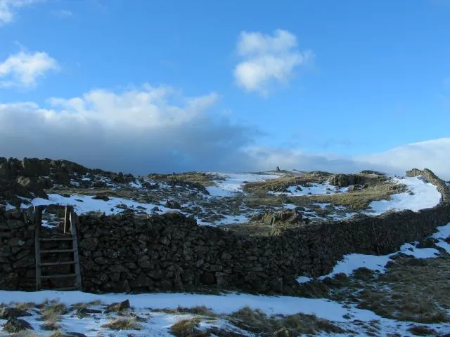 Rhobell Fawr Mountain, Brithdir and Llanfachreth7.8 km N
-
Pen y Brynfforchog Mountain, Brithdir and Llanfachreth4.5 km E
-
Foel Cynwch Mountain, Brithdir and Llanfachreth4.8 km NW
-
Moel Cors-y-garnedd Mountain, Brithdir and Llanfachreth5.7 km N
-
Cefn Ffridd-goch Mountain, Brithdir and Llanfachreth6.3 km NW
-
Moel y Llan Mountain, Brithdir and Llanfachreth6.4 km N
Sources & licences
Data last updated: