Pant
Located in Merthyr Tydfil, Wales Coordinates: 51°46′42″ N 3°21′29″ W
- Elevation
- 373 m
- above sea level
- Local time
- UTC+00:00
- Europe/London · UTC+00:00
- Places inside
- 5
- listed under Pant
About Pant
Pant is a municipality. Location: Merthyr Tydfil, Wales. Elevation: 373 m.
In comparison
- Nearest larger town: Merthyr Tydfil, 4 km S
- 31 sights and natural places within 10 km Madocs Castle, Morlais Hill
- Listed here: Historic site: 2, Neighbourhood: 2, Mountain: 1
Places in Pant
5 places-
Madocs Castle Historic site
-
Morlais Castle Historic site
-
Morlais Hill Mountain
-
Pant Neighbourhood
-
Pen-y-wern Neighbourhood
Nearby attractions & nature
Everything nearby-
Cae Burdydd Castle Historic site, Vaynor1.7 km W
-
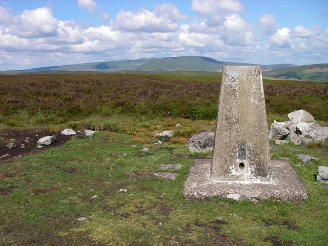 Mynydd Llangynidr Mountain, Llangynidr5.1 km NE
-
Twyn y Waun Mountain, Town3.8 km SE
-
Tâf Fawr River, Merthyr Tydfil4.3 km SW
-
Cefn Cil-Sanws Mountain, Vaynor4 km W
-
Garn Ddu Mountain, Vaynor4.5 km NW
-
Twyn Ceiliog Mountain, Llangynidr4.6 km NE
-
Cefn yr Ystrad Mountain, Llangynidr4.6 km NE
Other cities and towns in Merthyr Tydfil
-
Vaynor Municipality, Merthyr Tydfil3.5 km NW
-
Town Municipality, Merthyr Tydfil4 km S
-
Cyfarthfa Municipality, Merthyr Tydfil5.1 km SW
-
Abercanaid Town, Troed-y-Rhiw6.1 km S
-
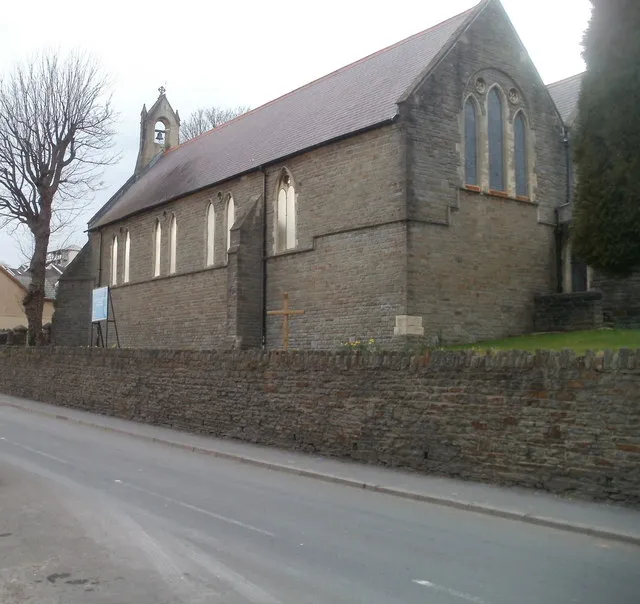 Treharris Town, Treharris13 km S
-
Troed-y-Rhiw Municipality, Merthyr Tydfil6.3 km S
Sources & licences
Data last updated: