Llanfihangel Rogiet
Located in Magor with Undy, Monmouthshire Coordinates: 51°34′59″ N 2°48′36″ W
- Elevation
- 10 m
- above sea level
- Local time
- UTC+00:00
- Europe/London · UTC+00:00
- Airports
- BRS Bristol Airport23 km
- CWL Cardiff International Airport42 km
About Llanfihangel Rogiet
Llanfihangel Rogiet is a village. Location: Magor with Undy, Monmouthshire. Elevation: 10 m. The best months to visit are June–August. The nearest airport is Bristol Airport (23 km). Nearby sights include Highmoor Hill and Carrow Hill.
Photos of Llanfihangel Rogiet
-
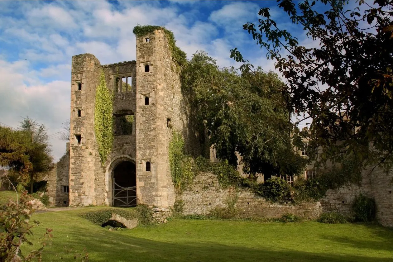
Pencoed Castle Ben Salter from Wales · CC BY 2.0 -
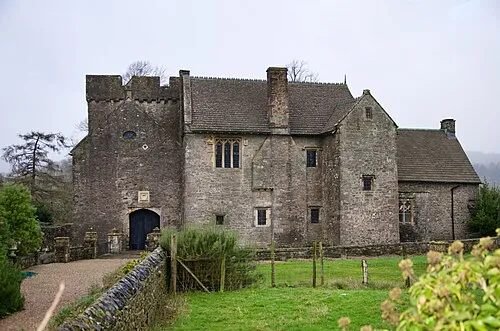
Penhow Castle Brassknocker · CC BY-SA 4.0 -
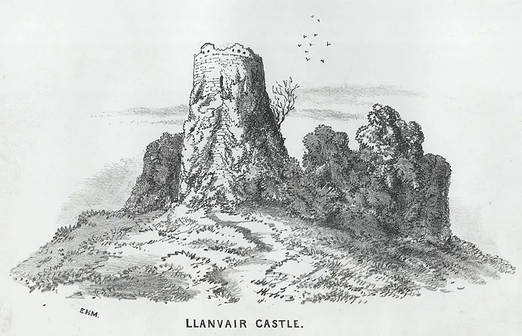
Llanfair Discoed Castle Wikimedia Commons · Public domain -
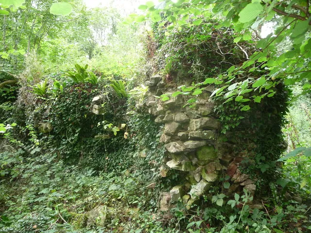
Dinham Castle Jeremy Bolwell · CC BY-SA 2.0 -
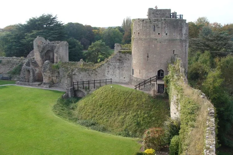
Caldicot Castle Nick · CC BY 2.0


Climate of Llanfihangel Rogiet
Best months for sightseeingBest months for sightseeing: June–August.
This month · November
A cold month
Day 11° · Night 5° · Rain 88 mm
- Hottest month
- July (day 21°)
- Coldest month
- February (night 2°)
- Wettest month
- January (93 mm)
- Driest month
- July (46 mm)
Bars: average monthly low and high temperature. Below: precipitation. Monthly averages for 1970–2000 at about 18 km resolution, adjusted for elevation. Highlighted months are mild and relatively dry. Source: WorldClim 2.1 (CC BY 4.0).
Show values as a table
| Month | Jan | Feb | Mar | Apr | May | Jun | Jul | Aug | Sep | Oct | Nov | Dec |
|---|---|---|---|---|---|---|---|---|---|---|---|---|
| Average high (°C) | 8° | 8° | 10° | 13° | 16° | 19° | 21° | 21° | 18° | 14° | 11° | 9° |
| Average low (°C) | 3° | 2° | 4° | 5° | 8° | 11° | 13° | 13° | 11° | 8° | 5° | 4° |
| Precipitation (mm) | 93 | 63 | 71 | 56 | 60 | 62 | 46 | 72 | 80 | 83 | 88 | 92 |
How to get to Llanfihangel Rogiet
The nearest airport is Bristol Airport (BRS), 23 km to the south as the crow flies. The nearest large city is Newport, 13 km to the west.
Airports
- Bristol Airport (BRS) Bristol 23 kmsouth
- Cardiff International Airport (CWL) Cardiff 42 kmsouthwest
- Exeter International Airport (EXT) Exeter, Devon 103 kmsouthwest
Nearby large cities
- Newport Population: 161.5K 13 kmwest
- Bristol Population: 479K 21 kmsoutheast
- Cardiff Population: 372.1K 28 kmsouthwest
- Bath Population: 101.6K 39 kmsoutheast
- Gloucester Population: 132.4K 50 kmnortheast
Straight-line distances; road distances are longer. Airport data: OurAirports.
Day trips from Llanfihangel Rogiet
Within 100 km: 853 historic and cultural sites, 1,801 natural sites, 135 lakes, rivers and coasts.
0–25 km219 places
- Denny Island Island 7 kmS
- Llandegfedd Reservoir Lake 17 kmNW
- Barrow Gurney Reservoir 1 Lake 22 kmSE
- Barrow Gurney Tank 2 Lake 22 kmSE
25–60 km870 places
- Kilve Beach Beach 52 kmSW
- Steep Holm Island 34 kmSW
- Flat Holm Island 31 kmSW
- Barry Island Island 39 kmSW
60–100 km1,700 places
- Charmouth Beach Beach 95 kmS
- Harnham Water Meadows Island 91 kmSE
- Bathing Island Island 81 kmSE
- Fish's Island Island 81 kmSE
Straight-line distances.
Nearby attractions & nature
Everything nearby-
Highmoor Hill Mountain, Rogiet2.5 km NE
-
Carrow Hill Mountain, Caerwent2.6 km N
-
Penhow Castle Historic site, Penhow3.8 km NW
-
High Grove Mountain, Caerwent2.9 km NW
-
Pencoed Castle Historic site, Langstone3.9 km NW
-
Wilcrick Hill Mountain, Bishton2.9 km W
Sources & licences
Data last updated: