Poultry Farm Hill
Located in Disserth and Trecoed, Powys Coordinates: 52°12′15″ N 3°23′23″ W
- Elevation
- 277 m
- above sea level
- Local time
- UTC+00:00
- Europe/London · UTC+00:00
- Airports
- CWL Cardiff International Airport90 km
- BRS Bristol Airport103 km
About Poultry Farm Hill
Poultry Farm Hill is a mountain. Location: Disserth and Trecoed, Powys. Elevation: 277 m. The best months to visit are June–August. The nearest airport is Cardiff International Airport (90 km). Nearby sights include Carneddau and Gilwern Hill West Top.
Photos of Poultry Farm Hill
-
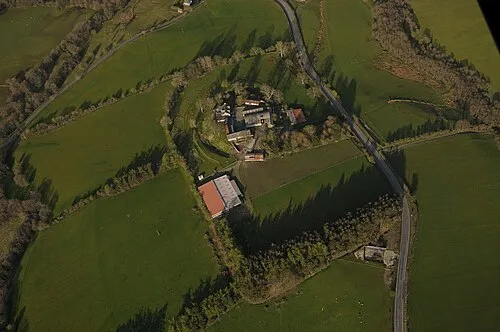
Colwyn Castle Jasperfforde · CC BY-SA 3.0 -
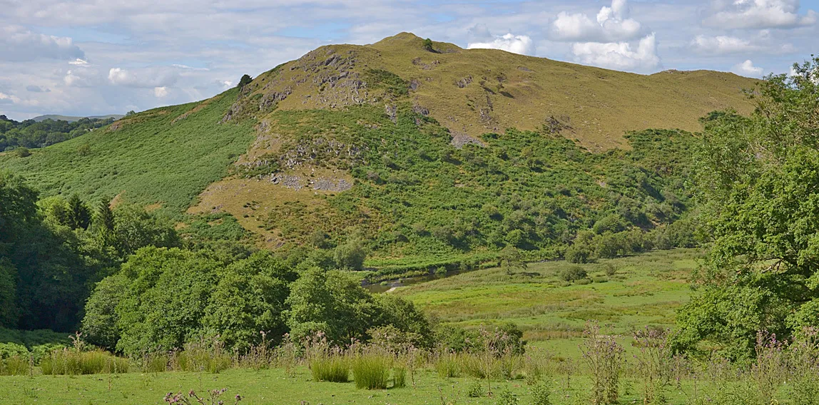
Cefnllys Castle Nigel Brown · CC BY-SA 2.0 -
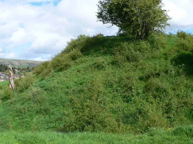
Builth Wells Castle Eirian Evans · CC BY-SA 2.0


Climate of Poultry Farm Hill
Best months for sightseeingBest months for sightseeing: June–August.
This month · November
A wet month
Day 9° · Night 3° · Rain 151 mm
- Hottest month
- July (day 19°)
- Coldest month
- February (night 0°)
- Wettest month
- December (166 mm)
- Driest month
- July (71 mm)
Bars: average monthly low and high temperature. Below: precipitation. Monthly averages for 1970–2000 at about 18 km resolution, adjusted for elevation. Highlighted months are mild and relatively dry. Source: WorldClim 2.1 (CC BY 4.0).
Show values as a table
| Month | Jan | Feb | Mar | Apr | May | Jun | Jul | Aug | Sep | Oct | Nov | Dec |
|---|---|---|---|---|---|---|---|---|---|---|---|---|
| Average high (°C) | 6° | 6° | 8° | 11° | 14° | 17° | 19° | 19° | 16° | 12° | 9° | 7° |
| Average low (°C) | 1° | 0° | 2° | 3° | 6° | 8° | 11° | 10° | 8° | 6° | 3° | 2° |
| Precipitation (mm) | 164 | 112 | 120 | 84 | 73 | 81 | 71 | 96 | 109 | 134 | 151 | 166 |
How to get to Poultry Farm Hill
The nearest airport is Cardiff International Airport (CWL), 90 km to the south as the crow flies. The nearest large city is Newport, 74 km to the south.
Airports
- Cardiff International Airport (CWL) Cardiff 90 kmsouth
- Bristol Airport (BRS) Bristol 103 kmsoutheast
- Birmingham Airport (BHX) Birmingham, West Midlands 115 kmeast
Nearby large cities
- Newport Population: 161.5K 74 kmsouth
- Swansea Population: 300.4K 75 kmsouthwest
- Worcester Population: 101.7K 80 kmeast
- Cardiff Population: 372.1K 82 kmsouth
- Telford Population: 155.6K 83 kmnortheast
Straight-line distances; road distances are longer. Airport data: OurAirports.
Day trips from Poultry Farm Hill
Within 100 km: 1,015 historic and cultural sites, 2,650 natural sites, 184 lakes, rivers and coasts.
0–25 km394 places
- Pen-y-gareg Reservoir Lake 19 kmNW
- Gareg-ddu Reservoir Lake 16 kmNW
- Dol-y-mynach Reservoir Lake 15 kmW
- Craig-yr-allt gôch Reservoir Lake 21 kmNW
25–60 km1,496 places
- The Island Island 46 kmE
- Llangorse Lake Lake 32 kmS
- Talybont Reservoir Lake 39 kmS
- Pen y Fan Mountain 36 kmS
60–100 km1,959 places
- Poppit Sands Beach 90 kmW
- Mwnt beach Beach 86 kmW
- Tresaith Beach Beach 78 kmW
- Llangrannog's Beach Beach 74 kmW
Straight-line distances.
Nearest towns and villages
-
Crossway Village, Disserth and Trecoed1.2 km N
-
Llandrindod Wells City, Llandrindod Wells4.2 km N
-
Howey Village, Disserth and Trecoed1.6 km N
-
Newbridge on Wye Village, Llanyre3.7 km W
-
Disserth Village, Disserth and Trecoed2.1 km NW
-
Builth Wells Village, Builth6.2 km S
Nearby attractions & nature
Everything nearby-
Carneddau Mountain, Glascwm2.7 km SE
-
Gilwern Hill West Top Mountain, Disserth and Trecoed3.3 km E
-
Pencerrig Mountain, Llanelwedd3.6 km S
-
Castle Bank Mountain, Glascwm3.8 km E
-
Little Hill Mountain, Llandrindod Wells4 km NE
-
Caer Fawr Mountain, Llanelwedd4.1 km S
-
Careg-wiber Bank Mountain, Penybont4.5 km NE
-
Blaenkerry Mountain, Glascwm4.6 km E
Sources & licences
Data last updated: