
- Elevation
- 88 m
- above sea level
- Local time
- UTC+00:00
- Europe/London · UTC+00:00
- Airports
- CWL Cardiff International Airport5 km
- BRS Bristol Airport40 km
About Colcot
Colcot is a neighbourhood. Location: Barry, Vale of Glamorgan.
Colcot (Welsh: Colcoed) is a northern district of Barry, Vale of Glamorgan, in the Dyfan ward of South Wales. Dyfan ward is situated in the north west of Barry and its most northern edge is on the green belt of the town. Port Road West runs through the ward and is the main route to Cardiff and Cardiff International Airport in Rhoose. Dyfan benefits from a sports centre and Buttrills recreation field and The Barry Hospital is located on Colcot Road.
Source: Wikipedia · CC BY-SA 4.0
Photos of Colcot
-
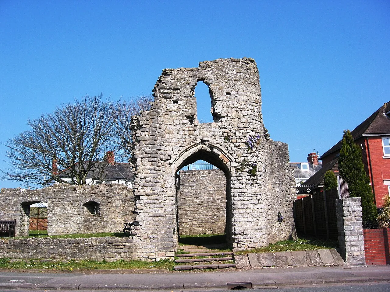
Barry Castle Cath Mudford · CC BY-SA 3.0 -
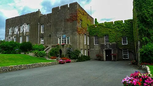
Fonmon Castle Stewart Black from British Isles · CC BY 2.0 -
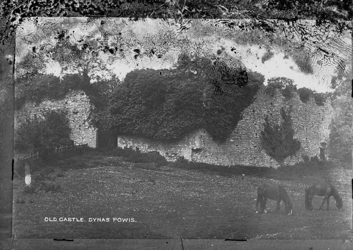
Dinas Powys Castle Wikimedia Commons · Public domain -
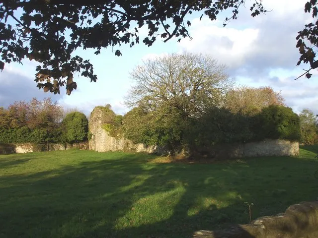
Penmark Castle John Lord · CC BY-SA 2.0 -
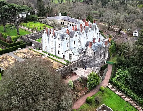
St Fagans Castle Llywelyn2000 · CC BY-SA 4.0


Climate of Colcot
Best months for sightseeingBest months for sightseeing: June–August.
This month · November
A wet month
Day 10° · Night 5° · Rain 114 mm
- Hottest month
- July (day 20°)
- Coldest month
- February (night 2°)
- Wettest month
- November (114 mm)
- Driest month
- April (57 mm)
Bars: average monthly low and high temperature. Below: precipitation. Monthly averages for 1970–2000 at about 18 km resolution, adjusted for elevation. Highlighted months are mild and relatively dry. Source: WorldClim 2.1 (CC BY 4.0).
Show values as a table
| Month | Jan | Feb | Mar | Apr | May | Jun | Jul | Aug | Sep | Oct | Nov | Dec |
|---|---|---|---|---|---|---|---|---|---|---|---|---|
| Average high (°C) | 7° | 7° | 10° | 12° | 16° | 18° | 20° | 20° | 17° | 14° | 10° | 8° |
| Average low (°C) | 2° | 2° | 3° | 4° | 7° | 10° | 12° | 12° | 10° | 8° | 5° | 3° |
| Precipitation (mm) | 106 | 80 | 82 | 57 | 61 | 65 | 62 | 86 | 96 | 103 | 114 | 107 |
How to get to Colcot
The nearest airport is Cardiff International Airport (CWL), 5 km to the southwest as the crow flies. The nearest large city is Cardiff, 10 km to the northeast.
Airports
- Cardiff International Airport (CWL) Cardiff 5 kmsouthwest
- Bristol Airport (BRS) Bristol 40 kmeast
- Exeter International Airport (EXT) Exeter, Devon 77 kmsouth
Nearby large cities
- Cardiff Population: 372.1K 10 kmnortheast
- Newport Population: 161.5K 28 kmnortheast
- Bristol Population: 479K 48 kmeast
- Swansea Population: 300.4K 51 kmnorthwest
- Bath Population: 101.6K 65 kmeast
Straight-line distances; road distances are longer. Airport data: OurAirports.
Day trips from Colcot
Within 100 km: 760 historic and cultural sites, 1,823 natural sites, 148 lakes, rivers and coasts.
0–25 km189 places
- Steep Holm Island 15 kmSE
- Flat Holm Island 12 kmE
- Barry Island Island 2 kmS
- Sully Island Island 7 kmE
25–60 km810 places
- Kilve Beach Beach 25 kmS
- Sexton's Burrow Island 59 kmW
- Denny Island Island 37 kmE
- Stert Island Island 28 kmSE
60–100 km1,732 places
- Saunton Sands Beach 74 kmSW
- Charmouth Beach Beach 81 kmS
- Mouthmill Beach Beach 92 kmSW
- Putsborough Beach Beach 72 kmSW
Straight-line distances.
Nearby attractions & nature
Everything nearby-
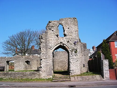 Barry Castle Historic site, Barry2.4 km S
-
Barry Island Island, Barry2.4 km S
-
Watch House Bay Natural site, Barry3.3 km S
-
Beauville Castle Historic site, Dinas Powys4 km NE
-
Jackson's Bay Natural site, Barry3.3 km SE
-
Whitmore Bay Natural site, Barry3.4 km S
Sources & licences
Data last updated: · 2 independent sources