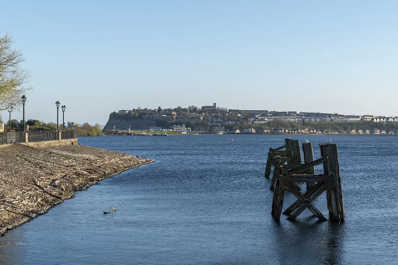
- Elevation
- 18 m
- above sea level
- Local time
- UTC+00:00
- Europe/London · UTC+00:00
- Airports
- CWL Cardiff International Airport13 km
- BRS Bristol Airport32 km
About Penarth Head
Penarth Head is a natural site. Location: Penarth, Vale of Glamorgan.
Penarth Head is a headland in Penarth on the south coast of South Wales near the Welsh capital city of Cardiff. St Augustine's Church sits on the highest point of the Head and has been used as a landmark to aid navigation for seafarers for centuries. When the medieval church was replaced in the 1860s, Bristol Channel pilots demanded the new church had a tall tower. William Butterfield's new church was built with a 90-foot tower.
Source: Wikipedia · CC BY-SA 4.0
Photos of Penarth Head
-

Jeremy Segrott from Cardiff, Wales, UK · CC BY 2.0 -

M J Roscoe · CC BY-SA 2.0 -

M J Roscoe · CC BY-SA 2.0 -

Lewis Clarke · CC BY-SA 2.0 -

No Swan So Fine · CC BY-SA 4.0


Climate of Penarth Head
Best months for sightseeingBest months for sightseeing: June–August.
This month · November
A wet month
Day 11° · Night 5° · Rain 113 mm
- Hottest month
- July (day 22°)
- Coldest month
- February (night 2°)
- Wettest month
- November (113 mm)
- Driest month
- April (59 mm)
Bars: average monthly low and high temperature. Below: precipitation. Monthly averages for 1970–2000 at about 18 km resolution, adjusted for elevation. Highlighted months are mild and relatively dry. Source: WorldClim 2.1 (CC BY 4.0).
Show values as a table
| Month | Jan | Feb | Mar | Apr | May | Jun | Jul | Aug | Sep | Oct | Nov | Dec |
|---|---|---|---|---|---|---|---|---|---|---|---|---|
| Average high (°C) | 8° | 8° | 10° | 13° | 16° | 19° | 22° | 21° | 18° | 14° | 11° | 9° |
| Average low (°C) | 3° | 2° | 4° | 5° | 8° | 11° | 13° | 13° | 11° | 8° | 5° | 4° |
| Precipitation (mm) | 110 | 82 | 84 | 59 | 62 | 65 | 59 | 86 | 96 | 102 | 113 | 109 |
How to get to Penarth Head
The nearest airport is Cardiff International Airport (CWL), 13 km to the west as the crow flies. The nearest large city is Cardiff, 4 km to the north.
Airports
- Cardiff International Airport (CWL) Cardiff 13 kmwest
- Bristol Airport (BRS) Bristol 32 kmeast
- Exeter International Airport (EXT) Exeter, Devon 81 kmsouth
Nearby large cities
- Cardiff Population: 372.1K 4 kmnorth
- Newport Population: 161.5K 20 kmnortheast
- Bristol Population: 479K 39 kmeast
- Bath Population: 101.6K 56 kmeast
- Swansea Population: 300.4K 58 kmwest
Straight-line distances; road distances are longer. Airport data: OurAirports.
Day trips from Penarth Head
Within 100 km: 780 historic and cultural sites, 1,825 natural sites, 144 lakes, rivers and coasts.
0–25 km211 places
- Steep Holm Island 12 kmS
- Flat Holm Island 8 kmS
- Barry Island Island 9 kmSW
- Sully Island Island 5 kmSW
25–60 km815 places
- Kilve Beach Beach 28 kmS
- Denny Island Island 28 kmE
- Stert Island Island 25 kmSE
- Middle Head Island 58 kmW
60–100 km1,723 places
- Chesil Beach Beach 99 kmSE
- Saunton Sands Beach 83 kmSW
- Charmouth Beach Beach 81 kmS
- Putsborough Beach Beach 81 kmSW
Straight-line distances.
Nearest towns and villages
-
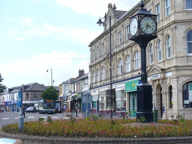 Penarth Town, Penarth0.7 km SW
-
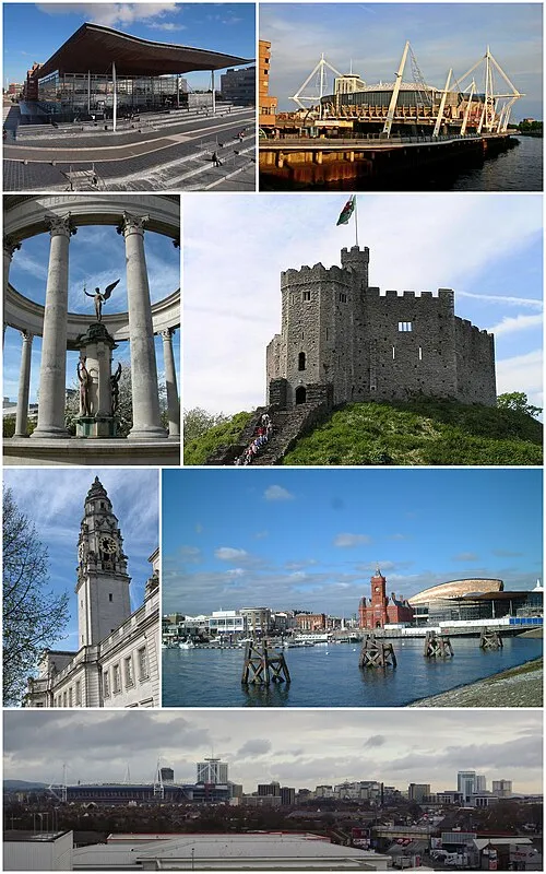 Cardiff City, Castle4.5 km N
-
Grangetown Municipality, Cardiff2.6 km NW
-
Dinas Powys Town, Dinas Powys3.5 km W
-
Cogan Neighbourhood, Penarth1.6 km W
-
Morristown Neighbourhood, Penarth1.8 km SW
Nearby attractions & nature
Everything nearby-
Penarth Head Hill Mountain, Penarth0.3 km W
-
Cardiff Bay Natural site, Butetown1.5 km N
-
River Ely River, Wales0.9 km NW
-
Grangemoor Park Natural site, Grangetown2.4 km NW
-
Cardiff Arms Park Natural site, Castle4.5 km N
-
River Taff River, Grangetown2.7 km N
-
Ranny Bay Natural site, Wales3.2 km S
-
Cwrt y Vil Castle Historic site, Penarth2.2 km SW
Sources & licences
Data last updated: · 2 independent sources