- Elevation
- 60 m
- above sea level
- Local time
- UTC+00:00
- Europe/London · UTC+00:00
- Places inside
- 8
- listed under Pendoylan
- Airports
- CWL Cardiff International Airport10 km
- BRS Bristol Airport46 km
About Pendoylan
Pendoylan is a municipality. Location: Vale of Glamorgan, Wales. Elevation: 60 m. The best months to visit are June–August. The nearest airport is Cardiff International Airport (10 km). Nearby sights include Peterston Castle and Vale of Glamorgan.
Photos of Pendoylan
-
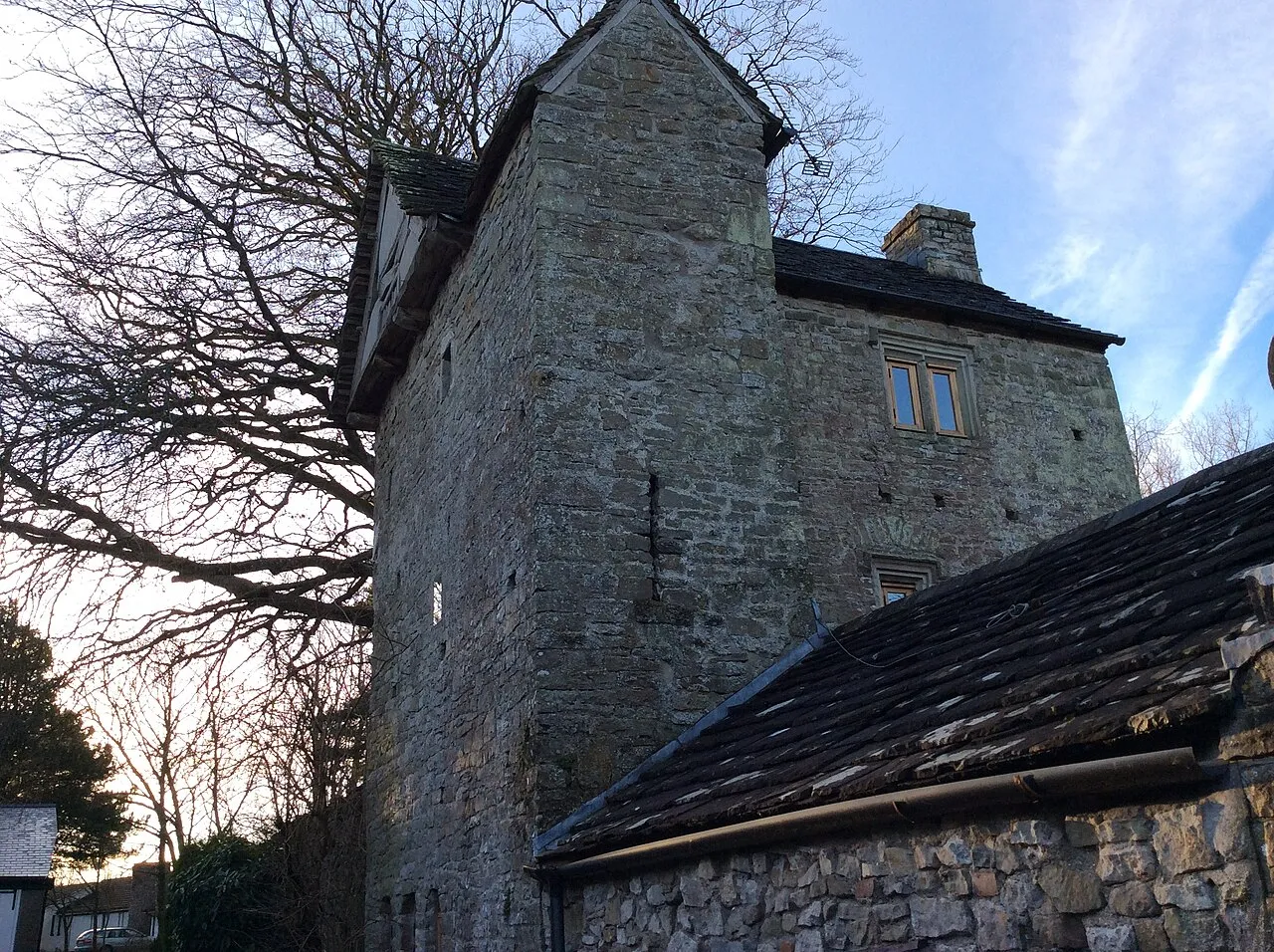
Llandough Castle FruitMonkey · CC BY-SA 3.0 -
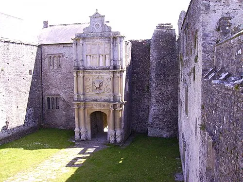
Old Beaupre Castle FruitMonkey · CC BY-SA 3.0 -
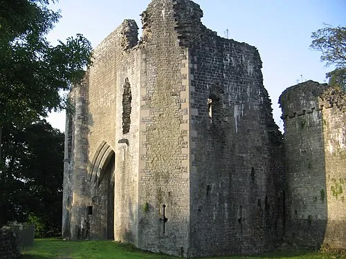
St Quintins Castle cowbridgeguide.co.uk · CC BY 3.0 -
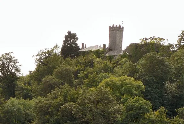
Penllyn Castle Mick Lobb · CC BY-SA 2.0 -
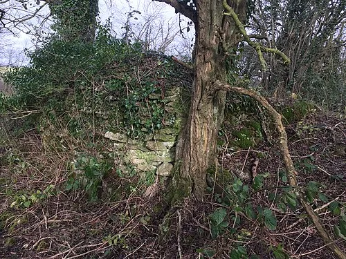
Llanquian Castle Alan Hughes · CC BY-SA 2.0


Climate of Pendoylan
Best months for sightseeingBest months for sightseeing: June–August.
This month · November
A wet month
Day 11° · Night 5° · Rain 113 mm
- Hottest month
- July (day 20°)
- Coldest month
- February (night 2°)
- Wettest month
- November (113 mm)
- Driest month
- April (56 mm)
Bars: average monthly low and high temperature. Below: precipitation. Monthly averages for 1970–2000 at about 18 km resolution, adjusted for elevation. Highlighted months are mild and relatively dry. Source: WorldClim 2.1 (CC BY 4.0).
Show values as a table
| Month | Jan | Feb | Mar | Apr | May | Jun | Jul | Aug | Sep | Oct | Nov | Dec |
|---|---|---|---|---|---|---|---|---|---|---|---|---|
| Average high (°C) | 8° | 7° | 10° | 12° | 16° | 18° | 20° | 20° | 18° | 14° | 11° | 9° |
| Average low (°C) | 2° | 2° | 3° | 4° | 7° | 10° | 12° | 12° | 10° | 8° | 5° | 3° |
| Precipitation (mm) | 102 | 75 | 79 | 56 | 60 | 64 | 64 | 84 | 95 | 102 | 113 | 104 |
How to get to Pendoylan
The nearest airport is Cardiff International Airport (CWL), 10 km to the south as the crow flies. The nearest large city is Cardiff, 13 km to the east.
Airports
- Cardiff International Airport (CWL) Cardiff 10 kmsouth
- Bristol Airport (BRS) Bristol 46 kmeast
- Exeter International Airport (EXT) Exeter, Devon 84 kmsouth
Nearby large cities
- Cardiff Population: 372.1K 13 kmeast
- Newport Population: 161.5K 28 kmnortheast
- Swansea Population: 300.4K 43 kmwest
- Bristol Population: 479K 53 kmeast
- Bath Population: 101.6K 71 kmeast
Straight-line distances; road distances are longer. Airport data: OurAirports.
Day trips from Pendoylan
Within 100 km: 822 historic and cultural sites, 1,930 natural sites, 157 lakes, rivers and coasts.
0–25 km224 places
- Steep Holm Island 24 kmSE
- Flat Holm Island 21 kmSE
- Barry Island Island 12 kmSE
- Sully Island Island 15 kmSE
25–60 km876 places
- Kilve Beach Beach 34 kmS
- Knightstone Island 30 kmSE
- Sexton's Burrow Island 58 kmSW
- Denny Island Island 41 kmE
60–100 km1,809 places
- Saunton Sands Beach 74 kmSW
- Charmouth Beach Beach 90 kmS
- Mouthmill Beach Beach 91 kmSW
- Putsborough Beach Beach 71 kmSW
Straight-line distances.
Places in Pendoylan
8 placesCities & villages4
- Clawdd-côch · Village
- Hensol · Village
- Pendoylan · Village
- Tre-Dodridge · Village
Mountains & nature2
- Hensol Park · Mountain
- Lillypot · Mountain
Heritage & sights2
- Felin Isaf Motte · Historic site
- Ty Du · Historic site
Nearby attractions & nature
Everything nearby-
Peterston Castle Historic site, Peterston-super-Ely3.1 km E
-
Vale of Glamorgan Natural site, Wales2.5 km NE
-
Cottrell Motte Historic site, St. Nicholas and Bonvilston3.9 km SE
-
Palla Hill Mountain, Peterston-super-Ely3.3 km E
-
Castell Tal y Fan Historic site, Welsh St. Donats3.3 km W
-
Llanquian Castle Historic site, Cowbridge with Llanblethian4.6 km SW
-
Ystradowen Motte Historic site, Penllyn4.4 km W
-
St Georges Castle Historic site, St. Georges-super-Ely4.5 km E
Other cities and towns in Vale of Glamorgan
-
St. Nicholas and Bonvilston Municipality, Vale of Glamorgan4.4 km SE
-
St. Georges-super-Ely Municipality, Vale of Glamorgan4.8 km E
-
Cowbridge with Llanblethian Municipality, Vale of Glamorgan6.3 km SW
-
Penllyn Municipality, Vale of Glamorgan6.4 km W
-
Llancarfan Municipality, Vale of Glamorgan6.5 km S
-
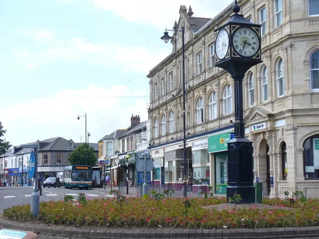 Penarth Town, Penarth14 km E
Sources & licences
Data last updated: