- Elevation
- 8 m
- above sea level
- Local time
- UTC+00:00
- Europe/London · UTC+00:00
- Airports
- CWL Cardiff International Airport8 km
- BRS Bristol Airport36 km
About Sully Brook
Sully Brook is a river. Location: Sully, Vale of Glamorgan. The best months to visit are June–August. The nearest airport is Cardiff International Airport (8 km). Nearby sights include Cold Brook and Swanbridge Hill.
Photos of Sully Brook
-
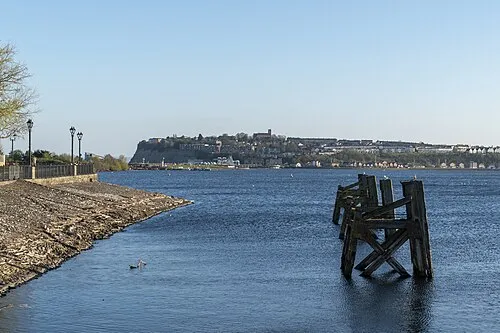
Penarth Head Dominic Nelson · CC BY-SA 4.0 -
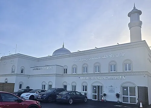
Baitur Raheem Mosque HolyArtThou · CC BY-SA 4.0 -
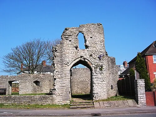
Barry Castle Cath Mudford · CC BY-SA 3.0 -
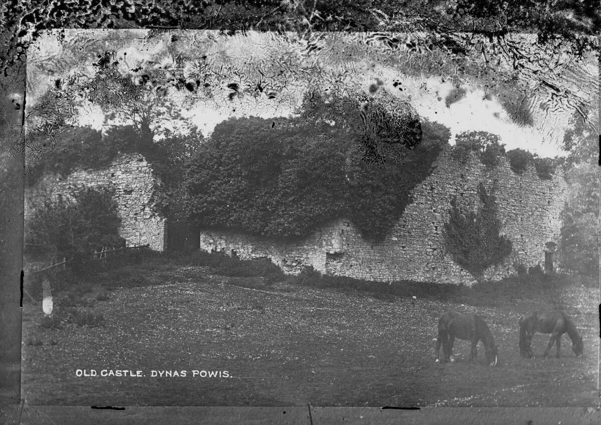
Dinas Powys Castle Wikimedia Commons · Public domain


Climate of Sully Brook
Best months for sightseeingBest months for sightseeing: June–August.
This month · November
A wet month
Day 11° · Night 5° · Rain 114 mm
- Hottest month
- July (day 21°)
- Coldest month
- February (night 2°)
- Wettest month
- November (114 mm)
- Driest month
- April (57 mm)
Bars: average monthly low and high temperature. Below: precipitation. Monthly averages for 1970–2000 at about 18 km resolution, adjusted for elevation. Highlighted months are mild and relatively dry. Source: WorldClim 2.1 (CC BY 4.0).
Show values as a table
| Month | Jan | Feb | Mar | Apr | May | Jun | Jul | Aug | Sep | Oct | Nov | Dec |
|---|---|---|---|---|---|---|---|---|---|---|---|---|
| Average high (°C) | 8° | 8° | 10° | 12° | 16° | 19° | 21° | 21° | 18° | 14° | 11° | 9° |
| Average low (°C) | 3° | 2° | 4° | 5° | 8° | 10° | 13° | 13° | 11° | 8° | 5° | 4° |
| Precipitation (mm) | 106 | 80 | 82 | 57 | 61 | 65 | 62 | 86 | 96 | 103 | 114 | 107 |
How to get to Sully Brook
The nearest airport is Cardiff International Airport (CWL), 8 km to the west as the crow flies. The nearest large city is Cardiff, 8 km to the north.
Airports
- Cardiff International Airport (CWL) Cardiff 8 kmwest
- Bristol Airport (BRS) Bristol 36 kmeast
- Exeter International Airport (EXT) Exeter, Devon 76 kmsouth
Nearby large cities
- Cardiff Population: 372.1K 8 kmnorth
- Newport Population: 161.5K 25 kmnortheast
- Bristol Population: 479K 44 kmeast
- Swansea Population: 300.4K 55 kmnorthwest
- Bath Population: 101.6K 60 kmeast
Straight-line distances; road distances are longer. Airport data: OurAirports.
Day trips from Sully Brook
Within 100 km: 750 historic and cultural sites, 1,787 natural sites, 149 lakes, rivers and coasts.
0–25 km189 places
- Kilve Beach Beach 24 kmS
- Steep Holm Island 11 kmSE
- Flat Holm Island 8 kmSE
- Barry Island Island 4 kmW
25–60 km797 places
- Denny Island Island 34 kmNE
- Middle Head Island 55 kmW
- Denny Island Island 43 kmE
- Fenning Island Island 26 kmSE
60–100 km1,700 places
- Chesil Beach Beach 98 kmSE
- Saunton Sands Beach 78 kmSW
- Charmouth Beach Beach 79 kmS
- Mouthmill Beach Beach 95 kmSW
Straight-line distances.
Nearest towns and villages
-
 Sully Village, Sully0.4 km SE
-
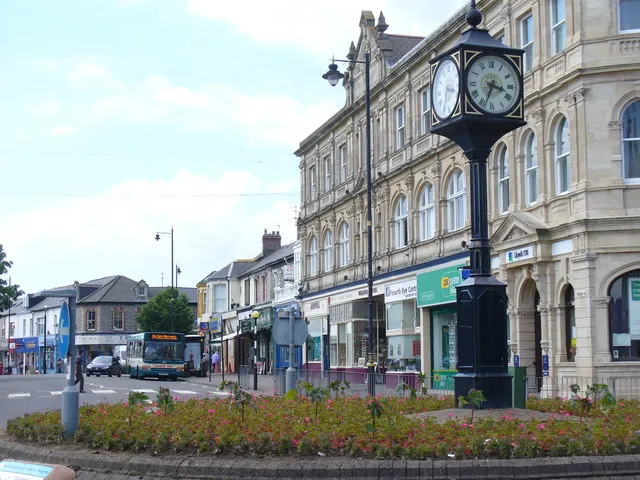 Penarth Town, Penarth4.9 km NE
-
Dinas Powys Town, Dinas Powys3 km N
-
Barry City, Barry4.2 km W
-
Palmerstown Neighbourhood, Barry1.4 km NW
-
Cog Village, Sully1.5 km E
Nearby attractions & nature
Everything nearby-
Cold Brook River, Dinas Powys0.9 km N
-
Swanbridge Hill Mountain, Sully2.3 km E
-
Sully Bay Natural site, Wales1.6 km SE
-
Sully Island Island, Vale of Glamorgan2.5 km SE
-
Swanbridge Bay Natural site, Wales2.5 km SE
-
Dinas Powis Mountain, Michaelston3.7 km N
-
Ball Bay Natural site, Wales2.9 km SE
-
Cosmeston Castle Historic site, Sully2.8 km E
Sources & licences
Data last updated: