Ceiriog Ucha
Located in Wrexham, Wales Coordinates: 52°53′58″ N 3°16′30″ W
- Elevation
- 369 m
- above sea level
- Local time
- UTC+00:00
- Europe/London · UTC+00:00
- Places inside
- 9
- listed under Ceiriog Ucha
About Ceiriog Ucha
Ceiriog Ucha is a municipality. Location: Wrexham, Wales. Elevation: 369 m.
In comparison
- Nearest larger town: Llanrhaeadr-ym-Mochnant, 8 km S
- 61 sights and natural places within 10 km Mynydd Bach, Bryn Du
- Listed here: Mountain: 6, Village: 3
Places in Ceiriog Ucha
9 places-
Bryn Du Mountain
-
Cefn Hir-fynydd Mountain
-
Foel Wen Mountain
-
Garneddwen Mountain
-
Llanarmon Dyffryn-Ceiriog Village
-
Mynydd Bach Mountain
-
Pentre Village
-
Pen-yr-eryr Mountain
-
Tregeiriog Village
Nearby attractions & nature
Everything nearby-
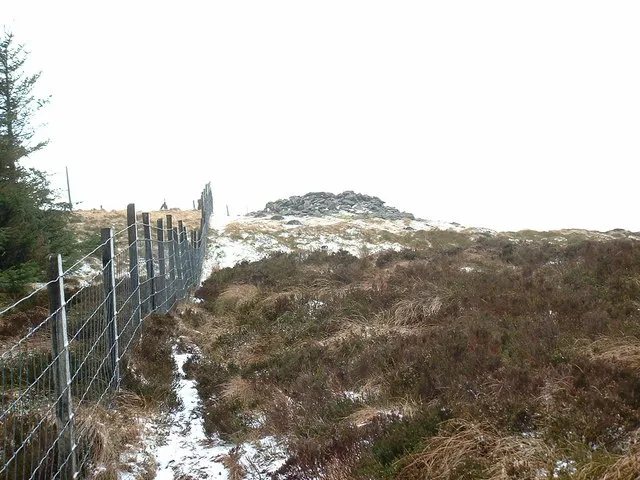 Mynydd Tarw Mountain, Llanrhaeadr-ym-Mochnant3.6 km SW
-
Rhos Mountain, Llanrhaeadr-ym-Mochnant2.7 km SW
-
Creigiau'r Hyrddod Mountain, Llansantffraid Glyn Ceiriog3.6 km N
-
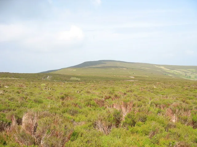 Moel Fferna Mountain, Cynwyd6.1 km NW
-
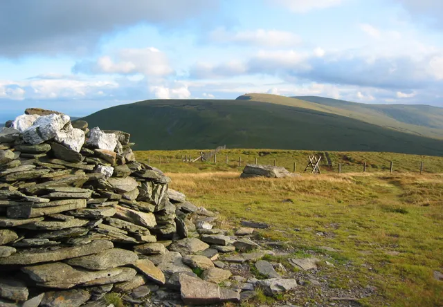 Cadair Bronwen Mountain, Llandrillo6.6 km W
-
Cefn Pantglas Mountain, Llansilin4.6 km SE
-
Hen Graig Mountain, Llansilin4.8 km SE
-
Foel Wylfa Mountain, Llansilin5 km E
Sources & licences
Data last updated: