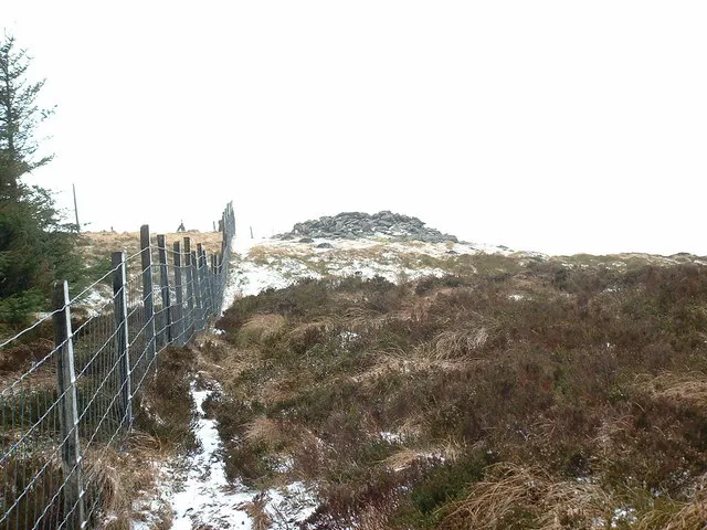
- Elevation
- 679 m
- above sea level
- Local time
- UTC+00:00
- Europe/London · UTC+00:00
- Airports
- LPL Liverpool John Lennon Airport59 km
- MAN Manchester Airport87 km
About Mynydd Tarw
Mynydd Tarw is a mountain. Location: Llanrhaeadr-ym-Mochnant, Powys. Elevation: 679 m.
Mynydd Tarw (pronounced [ˈmənɨð ˈtaru]) is a subsidiary summit of Cadair Berwyn in north east Wales. It used to have a top: Rhos which has now been deleted as a Nuttall. The summit has a large shelter cairn. The views are extensive, with the lower; northern and western Berwyns visible, including Pen Bwlch Llandrillo. Cadair Berwyn, Godor, Moel yr Ewig and Foel Wen are also in view.
Source: Wikipedia · CC BY-SA 4.0
At a glance
- Topographic prominence
- 44 m
Source: Wikidata
Photos of Mynydd Tarw
-
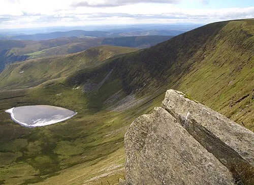
Moel Sych Gabby77 · Public domain -
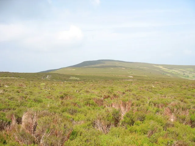
Moel Fferna Eric Jones · CC BY-SA 2.0 -
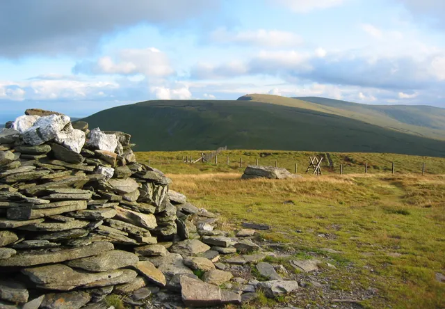
Cadair Bronwen Espresso Addict · CC BY-SA 2.0 -
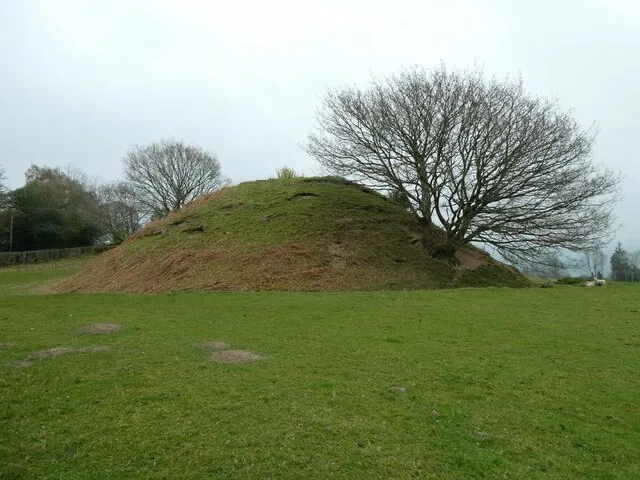
Tomen Cefncoch Motte Jeremy Bolwell · CC BY-SA 2.0


Climate of Mynydd Tarw
Best months for sightseeingBest months for sightseeing: July.
This month · November
A wet month
Day 6° · Night 0° · Rain 135 mm
- Hottest month
- July (day 16°)
- Coldest month
- February (night -2°)
- Wettest month
- November (135 mm)
- Driest month
- May (75 mm)
Bars: average monthly low and high temperature. Below: precipitation. Monthly averages for 1970–2000 at about 18 km resolution, adjusted for elevation. Highlighted months are mild and relatively dry. Source: WorldClim 2.1 (CC BY 4.0).
Show values as a table
| Month | Jan | Feb | Mar | Apr | May | Jun | Jul | Aug | Sep | Oct | Nov | Dec |
|---|---|---|---|---|---|---|---|---|---|---|---|---|
| Average high (°C) | 4° | 3° | 5° | 8° | 12° | 14° | 16° | 16° | 13° | 10° | 6° | 4° |
| Average low (°C) | -2° | -2° | -1° | 0° | 3° | 5° | 8° | 7° | 5° | 3° | 0° | -1° |
| Precipitation (mm) | 125 | 93 | 105 | 80 | 75 | 83 | 75 | 94 | 106 | 118 | 135 | 133 |
Other places to visit in this season: July
How to get to Mynydd Tarw
The nearest airport is Liverpool John Lennon Airport (LPL), 59 km to the northeast as the crow flies. The nearest large city is Birkenhead, 60 km to the north.
Airports
- Liverpool John Lennon Airport (LPL) Liverpool 59 kmnortheast
- Manchester Airport (MAN) Manchester, Greater Manchester 87 kmnortheast
- Birmingham Airport (BHX) Birmingham, West Midlands 117 kmsoutheast
Nearby large cities
- Birkenhead Population: 325.3K 60 kmnorth
- Telford Population: 155.6K 63 kmeast
- Liverpool Population: 496.8K 63 kmnorth
- Newcastle-under-Lyme Population: 127.7K 74 kmeast
- St Helens Population: 183.2K 74 kmnortheast
Straight-line distances; road distances are longer. Airport data: OurAirports.
Day trips from Mynydd Tarw
Within 100 km: 733 historic and cultural sites, 2,296 natural sites, 194 lakes, rivers and coasts.
0–25 km375 places
- Lake Vyrnwy Lake 15 kmSW
- Bala Lake Lake 21 kmW
- Foel Mountain 24 kmSW
- Mwdwl-eithin Mountain 20 kmNW
25–60 km1,415 places
- Thurstaston Beach Beach 52 kmN
- Ynys Tywyn Island 54 kmW
- Hilbre Island Island 56 kmN
- Ynys Gifftan Island 51 kmW
60–100 km1,433 places
- Anglesey Island 81 kmNW
- Whistling Sands Beach 95 kmW
- Traeth Penllech Beach 91 kmW
- Porth Towyn Beach Beach 88 kmW
Straight-line distances.
Nearest towns and villages
-
Llanrhaeadr-ym-Mochnant Village, Llanrhaeadr-ym-Mochnant6.5 km S
-
Ceiriog Ucha Municipality, Wrexham3.6 km NE
-
Llanarmon-Mynydd-mawr Village, Llanrhaeadr-ym-Mochnant4.3 km SE
-
Pentre Village, Ceiriog Ucha3.3 km NE
-
Commins Village, Llanrhaeadr-ym-Mochnant4.9 km S
-
Llanrhaiadr-ym-Mochnant Village, Llanrhaeadr-ym-Mochnant5.6 km S
Nearby attractions & nature
Everything nearby-
Rhos Mountain, Llanrhaeadr-ym-Mochnant1.2 km E
-
Foel Wen Mountain, Ceiriog Ucha1.6 km NW
-
Garneddwen Mountain, Ceiriog Ucha2.3 km SE
-
Godor Mountain, Llanrhaeadr-ym-Mochnant2.5 km SW
-
Pen-yr-eryr Mountain, Ceiriog Ucha2.6 km N
-
Cadair Bronwen Mountain, Llandrillo4.2 km NW
-
Tomle Mountain, Llanrhaeadr-ym-Mochnant2.9 km W
-
Moel Sych Mountain, Llandrillo4.7 km W
Sources & licences
Data last updated: · 2 independent sources