Annaberg
Located in Politischer Bezirk Lilienfeld, Lower Austria Coordinates: 47°51′57″ N 15°21′35″ E
- Population
- 545
- 545
- Elevation
- 849 m
- above sea level
- Local time
- UTC+01:00
- Europe/Vienna · UTC+01:00
- Places inside
- 13
- listed under Annaberg
About Annaberg
Annaberg is a municipality. Location: Politischer Bezirk Lilienfeld, Lower Austria. Population: 545. Elevation: 849 m.
In comparison
- No. 13 of 14 places in Politischer Bezirk Lilienfeld by population
- Nearest larger town: St. Sebastian, 10 km S
- 34 sights and natural places within 10 km Scheibling Berg, Hennesteck
- Listed here: Village: 7, Mountain: 6
Climate of Annaberg
Best months for sightseeing: June–September.
| Month | Jan | Feb | Mar | Apr | May | Jun | Jul | Aug | Sep | Oct | Nov | Dec |
|---|---|---|---|---|---|---|---|---|---|---|---|---|
| Average high (°C) | 2° | 3° | 6° | 10° | 16° | 19° | 21° | 21° | 17° | 12° | 5° | 2° |
| Average low (°C) | -6° | -5° | -2° | 1° | 6° | 9° | 10° | 10° | 7° | 3° | -2° | -5° |
| Precipitation (mm) | 57 | 56 | 75 | 76 | 104 | 123 | 145 | 118 | 96 | 66 | 68 | 66 |
Monthly averages for 1970–2000 at about 18 km resolution, adjusted for elevation. Highlighted months are mild and relatively dry. Source: WorldClim 2.1 (CC BY 4.0).
Other places to visit in this season: June · July · August · September
Airports nearest to Annaberg
- Vienna International Airport (VIE) Vienna 94 km
- Linz-Hörsching Airport (LNZ) Linz 97 km
- Graz Airport (GRZ) Feldkirchen bei Graz 97 km
Straight-line distance; airports with scheduled flights only. Source: OurAirports (public domain).
Places in Annaberg
13 places-
Annarotte Village218
-
Annarotte Village218
-
Lassingrotte Village101
-
Annaberg Village
-
Garschkogel Mountain
-
Großer Kegel Mountain
-
Karlstein Mountain
-
Kleiner Koller Mountain
-
Reith Village
-
Scheibling Berg Mountain
-
Schmelz Village
-
Tiroler Kogel Mountain
-
Wienerbruck Village
Nearby attractions & nature
Everything nearby-
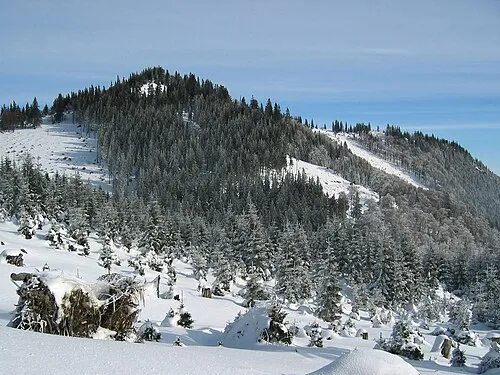 Grosser Sulzberg Mountain, St. Aegyd am Neuwalde4 km SE
-
Hennesteck Mountain, Schwarzenbach an der Pielach3.8 km N
-
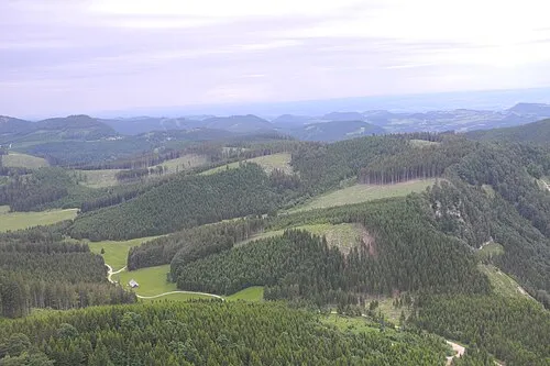 Futterkogel Mountain, Puchenstuben5 km NW
-
Büchleralpe Mountain, Mitterbach am Erlaufsee4.1 km SW
-
Kleiner Sulzberg Mountain, St. Aegyd am Neuwalde4.7 km SE
-
Hochstadel Berg Mountain, Puchenstuben5 km NW
-
Grosser Koller Mountain, Puchenstuben6 km W
-
Kleiner Kögel Berg Mountain, Türnitz6.4 km NE
Sources & licences
Data last updated: