Reichenau an der Rax
Located in Politischer Bezirk Neunkirchen, Lower Austria Coordinates: 47°42′00″ N 15°50′00″ E
- Population
- 2,565
- 2.6K
- Elevation
- 484 m
- above sea level
- Local time
- UTC+01:00
- Europe/Vienna · UTC+01:00
- Places inside
- 19
- listed under Reichenau an der Rax
- Airports
- VIE Vienna International Airport71 km
- GRZ Graz Airport84 km
About Reichenau an der Rax
Reichenau an der Rax is a municipality. Location: Politischer Bezirk Neunkirchen, Lower Austria. Population: 2,565. Elevation: 484 m. The best months to visit are June–September. The nearest airport is Vienna International Airport (71 km). Nearby sights include Saurüssel and Höllental.
Photos of Reichenau an der Rax
-
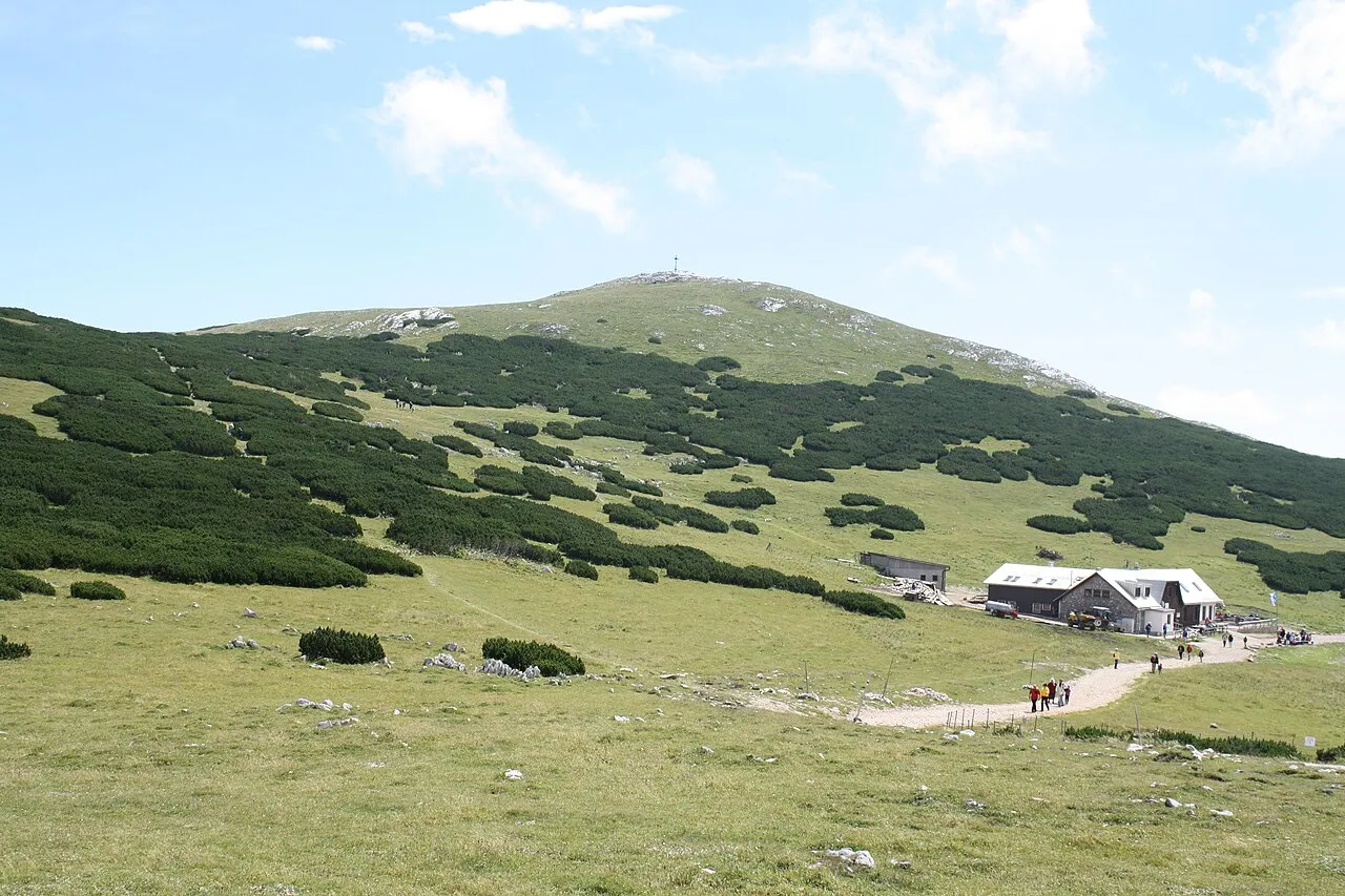
Waxriegel Karl Gruber · CC BY-SA 3.0 -
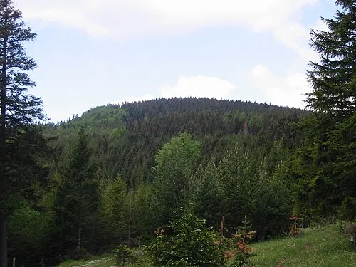
Schwarzenberg ZL · Public domain -
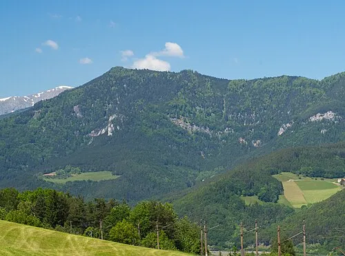
Saurüssel Liberaler Humanist · CC BY-SA 3.0 -
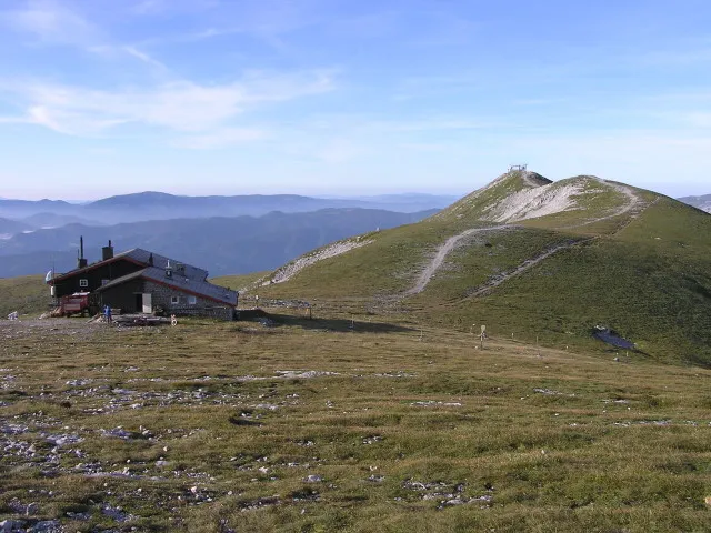
Klosterwappen ich · CC BY-SA 3.0 -
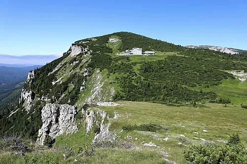
Jakobskogel C.Stadler/Bwag · CC BY-SA 4.0


Climate of Reichenau an der Rax
Best months for sightseeingBest months for sightseeing: June–September.
This month · November
A cold month
Day 9° · Night 1° · Rain 79 mm
- Hottest month
- July (day 23°)
- Coldest month
- January (night -2°)
- Wettest month
- July (146 mm)
- Driest month
- February (60 mm)
Bars: average monthly low and high temperature. Below: precipitation. Monthly averages for 1970–2000 at about 18 km resolution, adjusted for elevation. Highlighted months are mild and relatively dry. Source: WorldClim 2.1 (CC BY 4.0).
Show values as a table
| Month | Jan | Feb | Mar | Apr | May | Jun | Jul | Aug | Sep | Oct | Nov | Dec |
|---|---|---|---|---|---|---|---|---|---|---|---|---|
| Average high (°C) | 5° | 6° | 9° | 13° | 19° | 21° | 23° | 23° | 19° | 15° | 9° | 6° |
| Average low (°C) | -2° | -2° | 1° | 4° | 9° | 11° | 13° | 13° | 10° | 6° | 1° | -1° |
| Precipitation (mm) | 61 | 60 | 81 | 85 | 111 | 133 | 146 | 122 | 100 | 76 | 79 | 75 |
Other places to visit in this season: June July August September
How to get to Reichenau an der Rax
The nearest airport is Vienna International Airport (VIE), 71 km to the northeast as the crow flies. The nearest large city is Graz, 76 km to the southwest.
Airports
- Vienna International Airport (VIE) Vienna 71 kmnortheast
- Graz Airport (GRZ) Feldkirchen bei Graz 84 kmsouth
- M. R. Štefánik Airport (BTS) Bratislava 116 kmnortheast
Nearby large cities
- Graz Population: 303.3K 76 kmsouthwest
- Bratislava Population: 423.7K 107 kmnortheast
- Linz Population: 204.8K 134 kmnorthwest
- Győr Population: 129.3K 135 kmeast
- Klagenfurt Population: 100.3K 166 kmsouthwest
Straight-line distances; road distances are longer. Airport data: OurAirports.
Day trips from Reichenau an der Rax
Within 100 km: 548 historic and cultural sites, 1,797 natural sites, 536 lakes, rivers and coasts.
0–25 km182 places
- Herrenstein Mountain 22 kmS
- Winsaberg Mountain 17 kmN
- Windberg Mountain 19 kmW
- Streimlingberg Mountain 19 kmN
25–60 km809 places
- Vienna Forest Lake Lake 58 kmN
- Schellensee Lake 59 kmNE
- Türnsee Lake 53 kmW
- Sackwiesensee Lake 59 kmW
60–100 km1,890 places
- Gassner Camel Riding School Natural site 75 kmNW
- Donauinsel Island 72 kmNE
- Treffnersee Lake 98 kmW
- Waldsee Lake 76 kmN
Straight-line distances.
Places in Reichenau an der Rax
19 places- 1 Reichenau an der Rax 1.3K
- 2 Hirschwang an der Rax 398
- 3 Edlach an der Rax 309
- 4 Prein an der Rax 165
- 5 Dörfl 113
- 6 Grünsting 50
- 7 Griesleiten 25
- 8 Kleinau 15
- 9 Mayerhöfen 12
Bar: population relative to the most populous place in this list.
Cities & villages5
- Grossau · Village
- Hollenstein · Village
- Kaiserbrunn · Village
- Knappenberg · Village
- Schneedörfl · Village
Mountains & nature4
- Feuchter Berg · Mountain
- Jakobskogel · Mountain
- Klosterwappen · Mountain
- Schneeberg · Mountain
Heritage & sights1
- Schloss Wartholz · Historic site
Nearby attractions & nature
Everything nearby-
Saurüssel Mountain, Bürg-Vöstenhof3.1 km NE
-
Höllental Natural site, Lower Austria2.2 km NW
-
Preiner Bach River, Lower Austria2.2 km NW
-
Schwarzenberg Mountain, Bürg-Vöstenhof4.2 km NE
-
Kreuzberg Mountain, Breitenstein3.9 km S
-
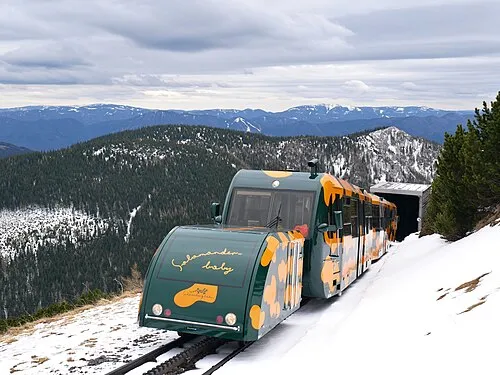 Hochalpel Mountain, Puchberg am Schneeberg5.7 km N
-
Wagnergraben-Viadukt Landmark, Breitenstein4.5 km SE
-
Krumbachgraben Natural site, Lower Austria5.6 km N
Sources & licences
Data last updated: