Rudolfshöhe
Located in Purkersdorf, Politischer Bezirk Sankt Pölten Coordinates: 48°11′44″ N 16°11′15″ E
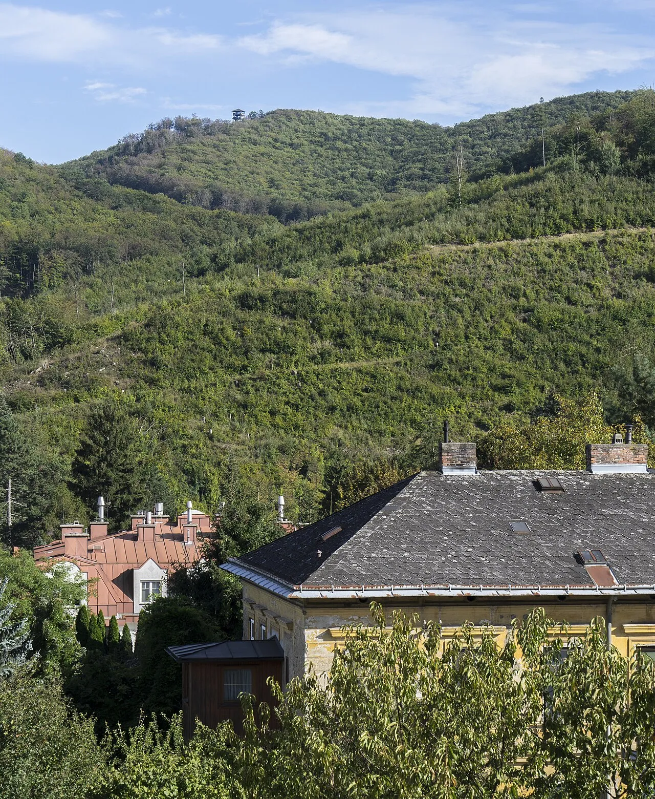
- Elevation
- 475 m
- above sea level
- Local time
- UTC+01:00
- Europe/Vienna · UTC+01:00
- Airports
- VIE Vienna International Airport30 km
- BTS M. R. Štefánik Airport76 km
About Rudolfshöhe
Rudolfshöhe is a mountain. Location: Purkersdorf, Politischer Bezirk Sankt Pölten. Elevation: 475 m. The best months to visit are June–August. The nearest airport is Vienna International Airport (30 km). Nearby sights include Gelber Berg and Georgenberg.
Photos of Rudolfshöhe
-
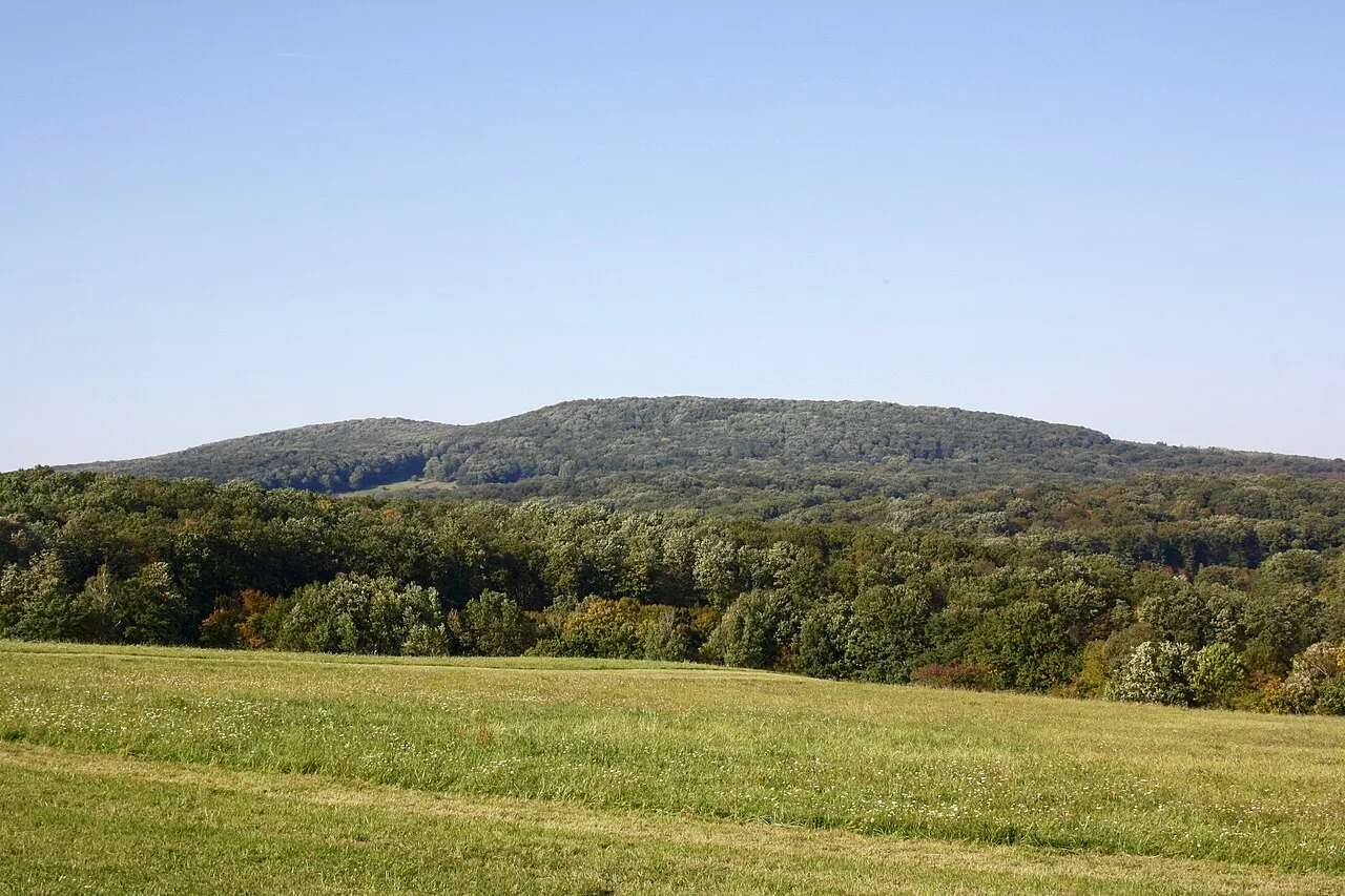
Kaltbründlberg Funke · CC BY-SA 4.0 -
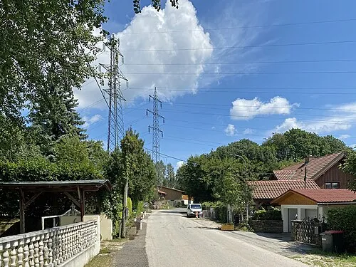
Heuberg Funke · CC BY-SA 4.0 -
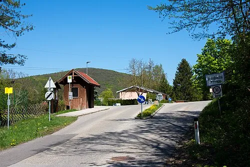
Feuersteinberg Linie29 · CC BY-SA 4.0 -
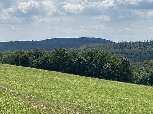
Schutzengelberg Funke · CC BY-SA 4.0 -
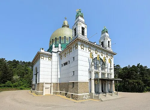
Otto Wagner Kirche C.Stadler/Bwag · CC BY-SA 4.0


Climate of Rudolfshöhe
Best months for sightseeingBest months for sightseeing: June–August.
This month · November
A cold month
Day 6° · Night 0° · Rain 47 mm
- Hottest month
- July (day 23°)
- Coldest month
- January (night -4°)
- Wettest month
- July (74 mm)
- Driest month
- January (31 mm)
Bars: average monthly low and high temperature. Below: precipitation. Monthly averages for 1970–2000 at about 18 km resolution, adjusted for elevation. Highlighted months are mild and relatively dry. Source: WorldClim 2.1 (CC BY 4.0).
Show values as a table
| Month | Jan | Feb | Mar | Apr | May | Jun | Jul | Aug | Sep | Oct | Nov | Dec |
|---|---|---|---|---|---|---|---|---|---|---|---|---|
| Average high (°C) | 1° | 3° | 8° | 13° | 18° | 21° | 23° | 23° | 18° | 12° | 6° | 2° |
| Average low (°C) | -4° | -3° | 0° | 4° | 8° | 11° | 13° | 13° | 9° | 5° | 0° | -3° |
| Precipitation (mm) | 31 | 34 | 40 | 47 | 63 | 73 | 74 | 62 | 51 | 39 | 47 | 37 |
How to get to Rudolfshöhe
The nearest airport is Vienna International Airport (VIE), 30 km to the east as the crow flies. The nearest large city is Bratislava, 69 km to the east.
Airports
- Vienna International Airport (VIE) Vienna 30 kmeast
- M. R. Štefánik Airport (BTS) Bratislava 76 kmeast
- Brno-Tuřany Airport (BRQ) Brno 113 kmnorth
Nearby large cities
- Bratislava Population: 423.7K 69 kmeast
- Brno Population: 404.3K 115 kmnorth
- Győr Population: 129.3K 122 kmsoutheast
- Graz Population: 303.3K 137 kmsouthwest
- Linz Population: 204.8K 142 kmwest
Straight-line distances; road distances are longer. Airport data: OurAirports.
Day trips from Rudolfshöhe
Within 100 km: 551 historic and cultural sites, 1,751 natural sites, 529 lakes, rivers and coasts.
0–25 km726 places
- Donauinsel Island 22 kmE
- Waldsee Lake 22 kmNW
- Vienna Forest Lake Lake 5 kmW
- Steinsee Lake 11 kmSE
25–60 km994 places
- Neufelder See Lake 39 kmS
- Lake Neusiedl Lake 58 kmSE
- Waldbad Lake 40 kmN
- Schneidergrabensee Lake 26 kmSE
60–100 km1,111 places
- Gassner Camel Riding School Natural site 68 kmW
- Devínska Kobyla Mountain 60 kmE
- Záruby Mountain 96 kmNE
- Klokoč Mountain 89 kmE
Straight-line distances.
Nearest towns and villages
-
Purkersdorf Town, Purkersdorf1.6 km NW
-
Rechenfeld Neighbourhood, Purkersdorf1.3 km W
-
Deutschwald Neighbourhood, Purkersdorf1.5 km W
-
Baunzen Neighbourhood, Purkersdorf1.6 km SW
-
Gablitz Village, Gablitz4.4 km NW
-
Laab im Walde Municipality, Politischer Bezirk Mödling4.2 km S
Nearby attractions & nature
Everything nearby-
Gelber Berg Natural site, Lower Austria0.1 km SE
-
Georgenberg Mountain, Purkersdorf0.8 km N
-
Deutscher Wald Natural site, Lower Austria1.4 km S
-
Feuersteinberg Mountain, Purkersdorf2.6 km SW
-
Weidlingauer Eichberg Mountain, Purkersdorf2 km N
-
Brandberg Mountain, Gemeindebezirk Hietzing2.1 km SE
-
Deutschwaldbach River, Lower Austria1.4 km SW
-
Johannserkogel Mountain, Gemeindebezirk Hietzing2.4 km E
Sources & licences
Data last updated: · 2 independent sources