Lower Austria
Local name: Donja Austrija
Located in Austria Coordinates: 48°20′00″ N 15°45′00″ E
- Population
- 1,698,796
- 1.7M
- Elevation
- 279 m
- above sea level
- Local time
- UTC+01:00
- Europe/Vienna · UTC+01:00
- Places inside
- 879
- listed under Lower Austria
About Lower Austria
Lower Austria is a region. Location: Austria. Population: 1,698,796.
Lower Austria (German: Niederösterreich pronounced [ˈniːdɐˌ(ʔ)øːstɐraɪç] , Bavarian: Niedaöstareich, abbreviated LA or NÖ) is one of the nine states of Austria, located in the northeastern corner of the country. Major cities are Amstetten, Krems an der Donau, Wiener Neustadt and Sankt Pölten, which has been the capital of Lower Austria since 1986, replacing Vienna, which became a separate state in 1921.
Read more on Wikipedia Text: Wikipedia contributors · CC BY-SA 4.0 · shortened
At a glance
- Area
- 19,180 km²
Source: Wikidata
In comparison
- 12 sights and natural places within 10 km Seelackenberg, Obersattel
- Listed here: River: 435, Natural site: 372, District: 24, Lake: 21
Places in Lower Austria
879 places-
Seerunsengraben River
-
Seeschlachtgraben River
-
Seetal Natural site
-
Seifriedswald Natural site
-
Seiherbach River
-
Senningbach River
-
Seyringer Graben River
-
Siebenbrunnengraben Natural site
-
Sieghartser Bach River
-
Sierning River
-
Sierningbach River
-
Sirnitzbach River
-
Sittisholz Natural site
-
Sommeraubach River
-
Sonnenwald Natural site
-
Sonnwendstein Mountain
-
Sparbach River
-
Spitzerbach River
-
Spitzerbach River
-
Spitzwald Natural site
-
Spitzwald Natural site
-
Spratzbach River
-
Stablinggraben River
-
Stadlberg Village
-
Staff Graben Natural site
-
Stanglbach River
-
Starreinbach River
-
Starreinwald Natural site
-
Steinapiestingbach River
-
Steinbach River
-
Stein Bach River
-
Steinbachtal Natural site
-
Steinbergwald Natural site
-
Steingraben Natural site
-
Steintal Natural site
-
Steinwandklamm Natural site
-
Stempfelbach River
-
Stiefern Bach River
-
Stieglüßbach River
-
Stille Mürz River
-
Stockerauer Arm River
-
Stocketwald Natural site
-
Straningbach River
-
Stranzendorfer Bach River
-
Stronsdorfer Graben River
-
Strudengau Natural site
-
Stützenhofner Bach River
-
Sulzbach River
-
Sulzbach River
-
Sulzgraben River
-
Sulzgraben River
-
Sulzwald Natural site
-
Sulzwald Natural site
-
Taffa Bach River
-
Tal Natural site
-
Talbach River
-
Tännauwald Natural site
-
Tannenwald Natural site
-
Tannholz Natural site
-
Taschlbach River
Largest cities and towns
-
Baden Municipality, Politischer Bezirk Baden26.2K
-
St. Pölten Municipality, Sankt Pölten Stadt54.2K
-
Klosterneuburg Municipality, Politischer Bezirk Tulln26.8K
-
Amstetten Municipality, Politischer Bezirk Amstetten23.6K
-
Wiener Neustadt Town, Wiener Neustadt44.8K
-
Wiener Neustadt Municipality, Wiener Neustadt Stadt44.5K
-
Traiskirchen Municipality, Politischer Bezirk Baden18.8K
-
Krems an der Donau Municipality, Krems an der Donau24.6K
Nature and heritage in Lower Austria
-
Mitterberg Mountain, Trautmannsdorf an der Leitha
-
Rosenberg Mountain, Sitzendorf an der Schmida
-
Rosenberg Mountain, Niederleis
-
Heidenberg Mountain, Angern an der March
-
Lehnstuhl Mountain, Gaaden
-
Schinderhöhe Mountain, Lassee
Other regions in Austria
-
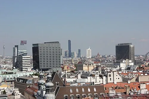 State of Vienna Region, Austria48 km E
-
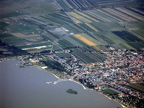 Burgenland Region, Austria105 km SE
-
Sankt Pölten Stadt District, Lower Austria18 km SW
-
Krems an der Donau District, Lower Austria14 km NW
-
Politischer Bezirk Tulln District, Lower Austria19 km E
-
Politischer Bezirk Sankt Pölten District, Lower Austria19 km S
Sources & licences
Data last updated: · 2 independent sources