- Elevation
- 3,105 m
- above sea level
- Local time
- UTC+01:00
- Europe/Vienna · UTC+01:00
- Airports
- INN Innsbruck Airport72 km
- BZO Bolzano Airport83 km
About Fennereck
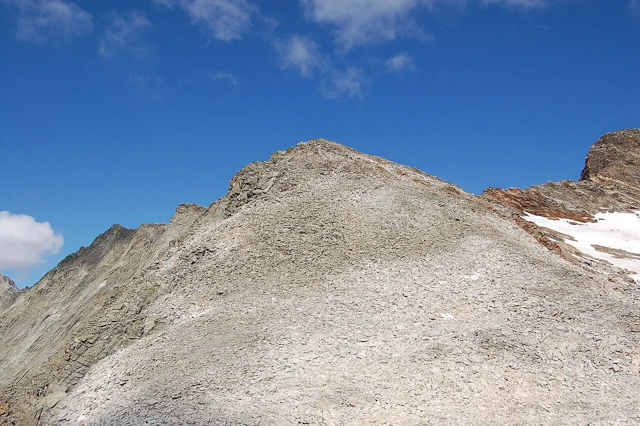
Fennereck is a mountain. Location: State of Salzburg, Austria. Elevation: 3,105 m.
The Fenneregg is a peak of the Rieserferner group on the border between Tyrol, Austria, and South Tyrol, Italy.
Source: Wikipedia · CC BY-SA 4.0
At a glance
- Topographic prominence
- 39 m
Source: Wikidata
Photos of Fennereck
-

Michael Kranewitter · CC BY-SA 4.0 -

Michael Kranewitter · CC BY-SA 4.0 -

Michael Kranewitter, Vienna · CC BY 2.5 -

Michael Kranewitter, Vienna · CC BY 2.5 -

Michael Kranewitter · CC BY-SA 4.0


Climate of Fennereck
This month · November
A wet month
Day -6° · Night -12° · Rain 107 mm
- Hottest month
- July (day 7°)
- Coldest month
- February (night -16°)
- Wettest month
- July (163 mm)
- Driest month
- February (71 mm)
Bars: average monthly low and high temperature. Below: precipitation. Monthly averages for 1970–2000 at about 18 km resolution, adjusted for elevation. Highlighted months are mild and relatively dry. Source: WorldClim 2.1 (CC BY 4.0).
Show values as a table
| Month | Jan | Feb | Mar | Apr | May | Jun | Jul | Aug | Sep | Oct | Nov | Dec |
|---|---|---|---|---|---|---|---|---|---|---|---|---|
| Average high (°C) | -10° | -10° | -8° | -5° | 1° | 4° | 7° | 7° | 4° | 0° | -6° | -9° |
| Average low (°C) | -16° | -16° | -14° | -11° | -7° | -3° | -1° | -1° | -4° | -7° | -12° | -14° |
| Precipitation (mm) | 74 | 71 | 92 | 103 | 122 | 146 | 163 | 150 | 111 | 100 | 107 | 83 |
How to get to Fennereck
The nearest airport is Innsbruck Airport (INN), 72 km to the northwest as the crow flies. The nearest large city is Innsbruck, 69 km to the northwest.
Airports
- Innsbruck Airport (INN) Innsbruck 72 kmnorthwest
- Bolzano Airport (BZO) Bolzano (BZ) 83 kmsouthwest
- Salzburg Airport (SZG) Salzburg 115 kmnortheast
Nearby large cities
- Innsbruck Population: 132.5K 69 kmnorthwest
- Salzburg Population: 157.2K 117 kmnortheast
- Munich Population: 1.5M 141 kmnorth
- Klagenfurt Population: 100.3K 167 kmeast
- Augsburg Population: 301.1K 186 kmnorthwest
Straight-line distances; road distances are longer. Airport data: OurAirports.
Day trips from Fennereck
Within 100 km: 140 historic and cultural sites, 4,207 natural sites, 764 lakes, rivers and coasts.
0–25 km453 places
- Eissee Lake 22 kmNE
- Thurntaler Seen Lake 24 kmSE
- Schwarzsee Lake 12 kmSE
- Oberseitsee Lake 8 kmE
25–60 km1,658 places
- Sille River 26 kmSE
- Piz Gralba Mountain 54 kmSW
- Piz Miara Mountain 54 kmSW
- Fürlegsee Lake 41 kmNE
60–100 km3,000 places
- Croda Nera Mountain 63 kmSW
- Wildsee Lake 86 kmNW
- Kleiner Paarsee Lake 82 kmNE
- Großer Paarsee Lake 82 kmNE
Straight-line distances.
Nearest towns and villages
-
St. Jakob in Defereggen Municipality, Politischer Bezirk Lienz6 km E
-
Rein in Taufers Village, Campo Tures/Sand in Taufers8.1 km W
-
Anterselva di Sopra Village, Rasun-Anterselva/Rasen-Antholz6.9 km SW
-
Zona Turistica Anterselva Alta Village, Rasun-Anterselva/Rasen-Antholz6.3 km S
-
Arbusti Village, Rasun-Anterselva/Rasen-Antholz8 km SW
-
Dorfl II Village, Rasun-Anterselva/Rasen-Antholz8.5 km SW
Nearby attractions & nature
Everything nearby-
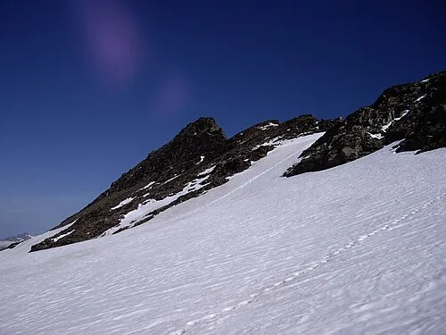 Lenkstein Mountain, Austria0.6 km N
-
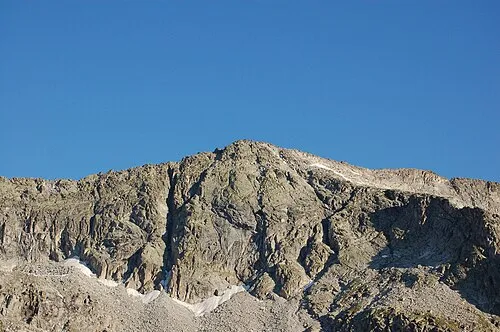 Patscherspitze Mountain, Trentino-Alto Adige1.3 km SW
-
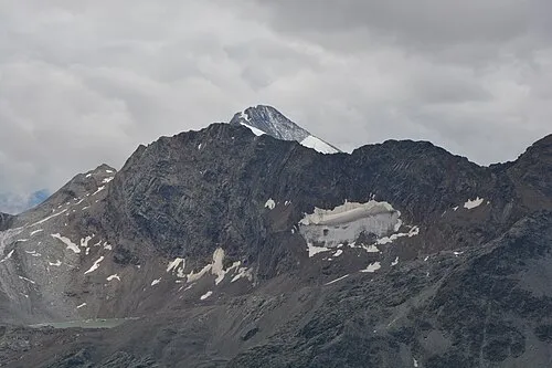 Winkelspitze Mountain, Campo Tures/Sand in Taufers1.3 km N
-
Rosshorn Mountain, State of Salzburg0.8 km E
-
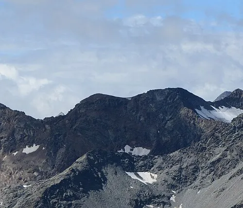 Muklaspitze Mountain, Tyrol1.9 km N
-
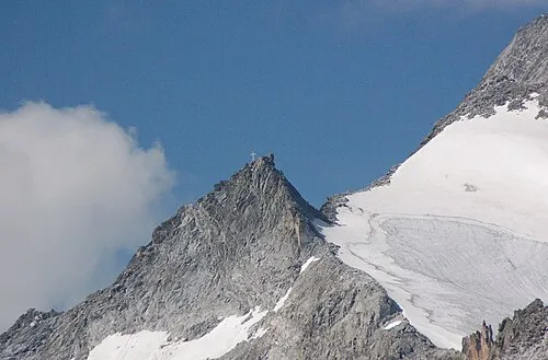 Barmerspitze Mountain, Trentino-Alto Adige2.3 km SW
-
La Mulle Mountain, Austria2.3 km NW
-
Fleischbachspitze Mountain, St. Jakob in Defereggen1.8 km N
More nature in Austria
-
Almerhorn Mountain, State of Salzburg3.5 km SE
-
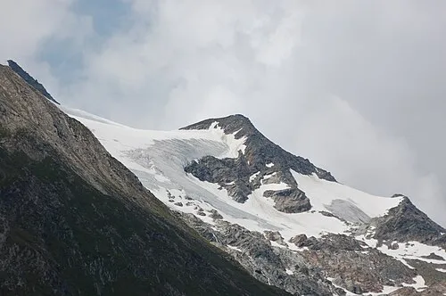 Untere Rötspitze Mountain, State of Salzburg11 km N
-
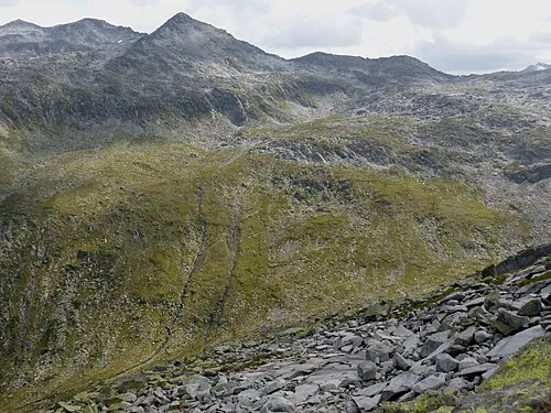 Tauernkopf Mountain, Krimml17 km N
-
Vedretta Rossa Natural site, State of Salzburg11 km N
-
Steingruben Mountain, State of Salzburg13 km NE
-
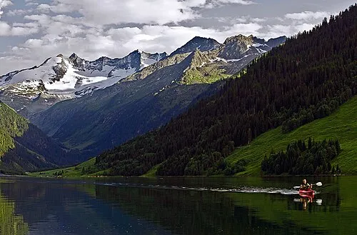 Wildgerlosspitze Mountain, Krimml24 km N
Sources & licences
Data last updated: · 2 independent sources