Untere Rötspitze
Located in State of Salzburg, Austria Coordinates: 47°01′56″ N 12°12′35″ E
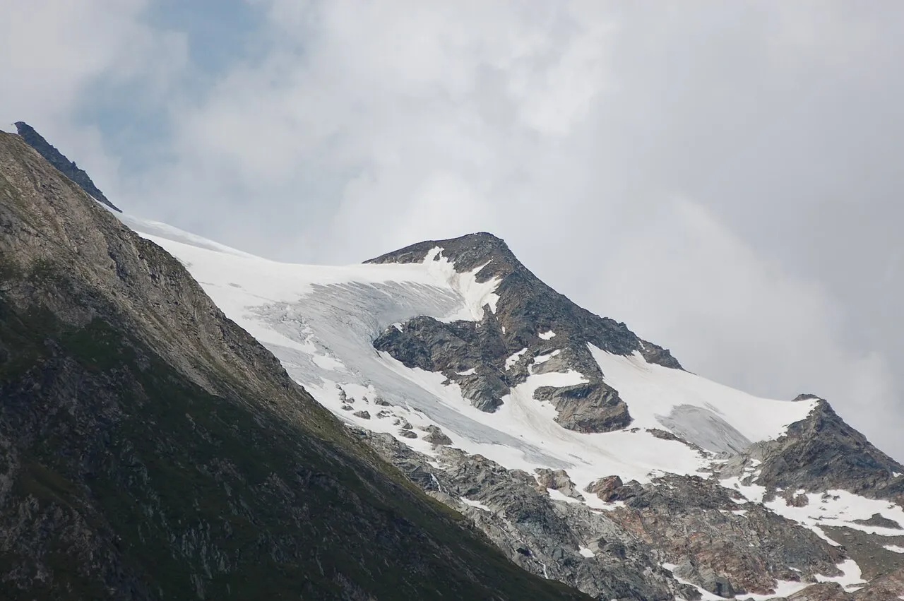
- Elevation
- 3,290 m
- above sea level
- Local time
- UTC+01:00
- Europe/Vienna · UTC+01:00
- Airports
- INN Innsbruck Airport70 km
- BZO Bolzano Airport93 km
About Untere Rötspitze
Untere Rötspitze is a mountain. Location: State of Salzburg, Austria. Elevation: 3,290 m. The nearest airport is Innsbruck Airport (70 km). Nearby sights include Virglkopf and Vedretta Rossa.
Photos of Untere Rötspitze
-

Michael Kranewitter · CC BY-SA 3.0 at -
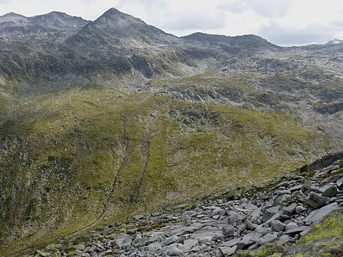
Tauernkopf Whgler · CC BY-SA 4.0 -
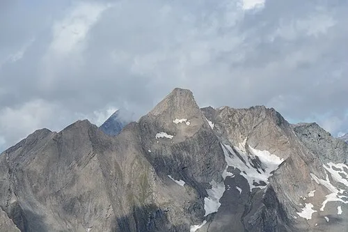
Glockhaus Michael Kranewitter · CC BY-SA 4.0 -
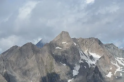
Große Löffelspitze Michael Kranewitter · CC BY-SA 4.0 -
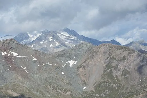
Kleine Löffelspitze Michael Kranewitter · CC BY-SA 4.0


Climate of Untere Rötspitze
This month · November
A wet month
Day -8° · Night -12° · Rain 117 mm
- Hottest month
- July (day 5°)
- Coldest month
- February (night -17°)
- Wettest month
- July (168 mm)
- Driest month
- February (85 mm)
Bars: average monthly low and high temperature. Below: precipitation. Monthly averages for 1970–2000 at about 18 km resolution, adjusted for elevation. Highlighted months are mild and relatively dry. Source: WorldClim 2.1 (CC BY 4.0).
Show values as a table
| Month | Jan | Feb | Mar | Apr | May | Jun | Jul | Aug | Sep | Oct | Nov | Dec |
|---|---|---|---|---|---|---|---|---|---|---|---|---|
| Average high (°C) | -11° | -11° | -9° | -7° | -2° | 2° | 5° | 5° | 2° | -2° | -8° | -10° |
| Average low (°C) | -17° | -17° | -15° | -12° | -8° | -5° | -2° | -2° | -5° | -8° | -12° | -15° |
| Precipitation (mm) | 90 | 85 | 112 | 117 | 127 | 151 | 168 | 153 | 114 | 103 | 117 | 101 |
How to get to Untere Rötspitze
The nearest airport is Innsbruck Airport (INN), 70 km to the west as the crow flies. The nearest large city is Innsbruck, 67 km to the northwest.
Airports
- Innsbruck Airport (INN) Innsbruck 70 kmwest
- Bolzano Airport (BZO) Bolzano (BZ) 93 kmsouthwest
- Salzburg Airport (SZG) Salzburg 104 kmnortheast
Nearby large cities
- Innsbruck Population: 132.5K 67 kmnorthwest
- Salzburg Population: 157.2K 106 kmnortheast
- Munich Population: 1.5M 132 kmnorth
- Klagenfurt Population: 100.3K 166 kmeast
- Augsburg Population: 301.1K 178 kmnorthwest
Straight-line distances; road distances are longer. Airport data: OurAirports.
Day trips from Untere Rötspitze
Within 100 km: 168 historic and cultural sites, 4,339 natural sites, 894 lakes, rivers and coasts.
0–25 km596 places
- Eissee Lake 14 kmE
- Wildensee Lake 22 kmE
- Unterer Gerlossee Lake 16 kmN
- Schwarzsee Lake 20 kmS
25–60 km1,570 places
- Sille River 33 kmSE
- Fürlegsee Lake 33 kmE
- Vorderer Langtalsee Lake 44 kmE
- Brandlsee Lake 48 kmNE
60–100 km3,235 places
- Bayerisches Oberland Mountain 94 kmNW
- Frauenchiemsee Island 95 kmN
- Herreninsel Island 93 kmN
- Piz Gralba Mountain 65 kmSW
Straight-line distances.
Nearest towns and villages
-
Casere-Knappenegg Village, Predoi/Prettau6.5 km W
-
Prägraten am Großvenediger Municipality, Politischer Bezirk Lienz7.7 km E
-
Predoi/Prettau Municipality, South Tyrol7.9 km W
-
Prettau Village, Predoi/Prettau7.9 km W
-
Weiher Village, Predoi/Prettau8.6 km W
-
St. Jakob in Defereggen Municipality, Politischer Bezirk Lienz10 km S
Nearby attractions & nature
Everything nearby-
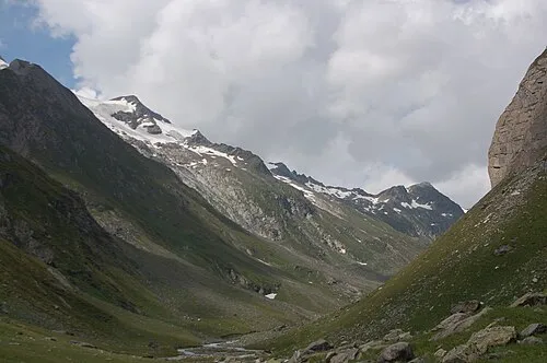 Virglkopf Mountain, Tyrol0.6 km N
-
Vedretta Rossa Natural site, State of Salzburg0.7 km W
-
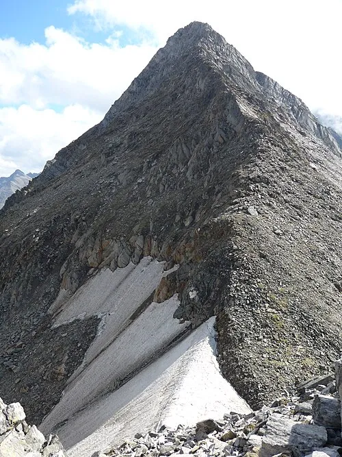 Ahrnerkopf Mountain, Tyrol1.8 km N
-
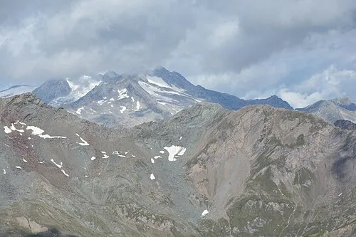 Kematerspitze Mountain, Tyrol2.4 km W
-
Daber Spitze Mountain, St. Jakob in Defereggen1.8 km S
-
Kleine Löffelspitze Mountain, Tyrol2.9 km W
-
Rainhard Mountain, Predoi/Prettau2.5 km W
-
Sauspitzl Mountain, Predoi/Prettau2.7 km N
More nature in Austria
-
Tauernkopf Mountain, Krimml6.8 km NW
-
Steingruben Mountain, State of Salzburg3.6 km E
-
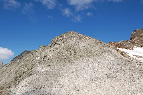 Fennereck Mountain, State of Salzburg11 km S
-
Vorderer Maurerkeeskopf Mountain, Krimml7.1 km NE
-
Schlachtertauern Mountain, Krimml7.8 km N
-
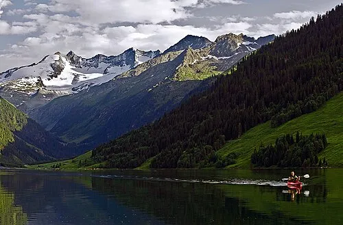 Wildgerlosspitze Mountain, Krimml15 km NW
Sources & licences
Data last updated: · 2 independent sources