- Elevation
- 3,228 m
- above sea level
- Local time
- UTC+01:00
- Europe/Vienna · UTC+01:00
- Airports
- INN Innsbruck Airport74 km
- BZO Bolzano Airport95 km
About Steingruben
Steingruben is a mountain. Location: State of Salzburg, Austria. Elevation: 3,228 m. The nearest airport is Innsbruck Airport (74 km). Nearby sights include Quirl and Ogasil Spitze.
Climate of Steingruben
This month · November
A wet month
Day -7° · Night -12° · Rain 117 mm
- Hottest month
- July (day 5°)
- Coldest month
- February (night -17°)
- Wettest month
- July (168 mm)
- Driest month
- February (85 mm)
Bars: average monthly low and high temperature. Below: precipitation. Monthly averages for 1970–2000 at about 18 km resolution, adjusted for elevation. Highlighted months are mild and relatively dry. Source: WorldClim 2.1 (CC BY 4.0).
Show values as a table
| Month | Jan | Feb | Mar | Apr | May | Jun | Jul | Aug | Sep | Oct | Nov | Dec |
|---|---|---|---|---|---|---|---|---|---|---|---|---|
| Average high (°C) | -11° | -11° | -9° | -6° | -1° | 2° | 5° | 5° | 2° | -2° | -7° | -10° |
| Average low (°C) | -16° | -17° | -15° | -12° | -7° | -4° | -2° | -2° | -4° | -7° | -12° | -15° |
| Precipitation (mm) | 90 | 85 | 112 | 117 | 127 | 151 | 168 | 153 | 114 | 103 | 117 | 101 |
How to get to Steingruben
The nearest airport is Innsbruck Airport (INN), 74 km to the west as the crow flies. The nearest large city is Innsbruck, 70 km to the west.
Airports
- Innsbruck Airport (INN) Innsbruck 74 kmwest
- Bolzano Airport (BZO) Bolzano (BZ) 95 kmsouthwest
- Salzburg Airport (SZG) Salzburg 102 kmnortheast
Nearby large cities
- Innsbruck Population: 132.5K 70 kmwest
- Salzburg Population: 157.2K 104 kmnortheast
- Munich Population: 1.5M 133 kmnorth
- Klagenfurt Population: 100.3K 163 kmeast
- Augsburg Population: 301.1K 181 kmnorthwest
Straight-line distances; road distances are longer. Airport data: OurAirports.
Nearest towns and villages
-
Prägraten am Großvenediger Municipality, Politischer Bezirk Lienz4.2 km E
-
Hinterbichl Village, Prägraten am Großvenediger6.6 km E
-
St. Jakob in Defereggen Municipality, Politischer Bezirk Lienz10 km S
-
Sankt Andrä Village, Prägraten am Großvenediger9 km E
-
Bichl Village, Prägraten am Großvenediger8.5 km E
-
Casere-Knappenegg Village, Predoi/Prettau9.9 km W
Nearby attractions & nature
Everything nearby-
Quirl Mountain, Prägraten am Großvenediger0.9 km E
-
Ogasil Spitze Mountain, Prägraten am Großvenediger1.8 km SE
-
Umbaltal Natural site, Tyrol1.7 km S
-
Malhamspitzen Mountain, Tyrol2 km N
-
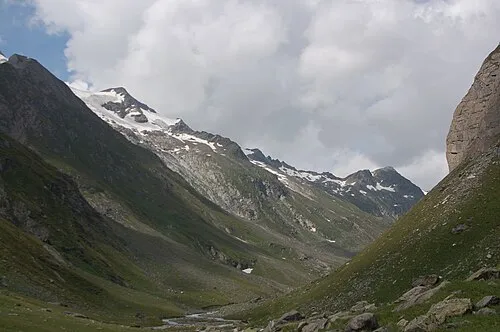 Virglkopf Mountain, Tyrol3.4 km W
-
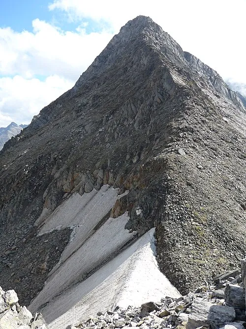 Ahrnerkopf Mountain, Tyrol3.5 km NW
-
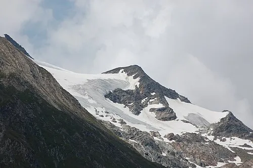 Untere Rötspitze Mountain, State of Salzburg3.6 km W
-
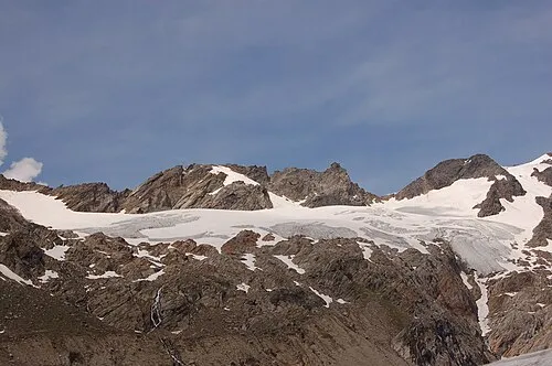 Althausschneide Mountain, Tyrol4 km NW
More nature in Austria
-
Vedretta Rossa Natural site, State of Salzburg4.3 km W
-
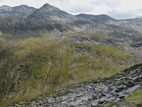 Tauernkopf Mountain, Krimml9 km NW
-
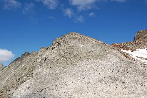 Fennereck Mountain, State of Salzburg13 km SW
-
Vorderer Maurerkeeskopf Mountain, Krimml5.8 km N
-
Hinterer Maurerkeeskopf Mountain, Krimml7.1 km N
-
Gamsspitzl Mountain, Krimml7.6 km N
Sources & licences
Data last updated: