Karteis Graben
Located in State of Salzburg, Austria Coordinates: 47°10′00″ N 13°16′00″ E
- Elevation
- 1,018 m
- above sea level
- Local time
- UTC+01:00
- Europe/Vienna · UTC+01:00
- Airports
- SZG Salzburg Airport72 km
- KLU Klagenfurt Airport100 km
About Karteis Graben
Karteis Graben is a natural site. Location: State of Salzburg, Austria. The best months to visit are July–August. The nearest airport is Salzburg Airport (72 km). Nearby sights include Hundeck and Spiel Kogel.
Photos of Karteis Graben
-
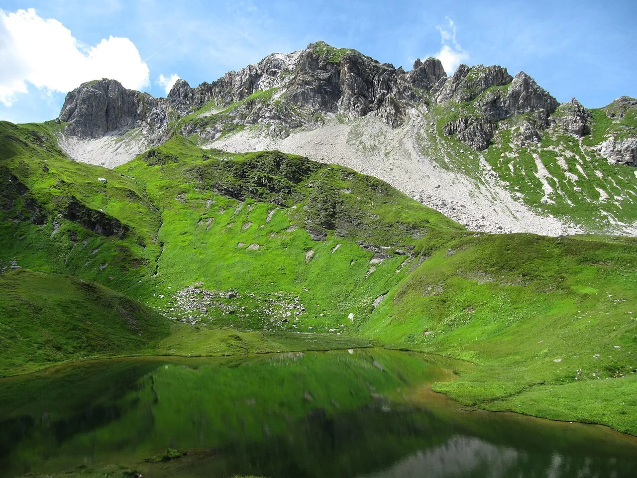
Wildkarkopf Limnologus · CC BY-SA 4.0 -
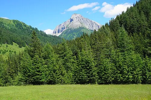
Riedingspitze Naturpuur · CC BY-SA 4.0 -
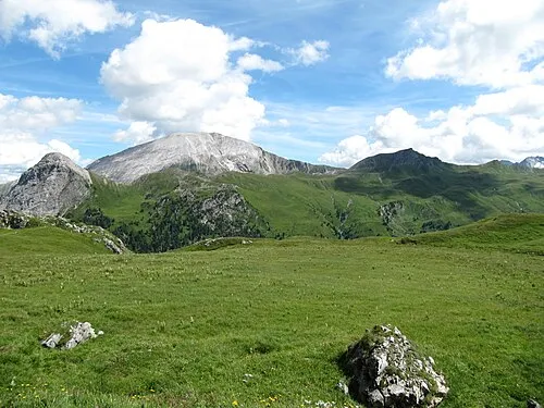
Reicheskogel Limnologus · CC BY-SA 4.0 -
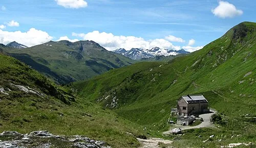
Nebelkareck Limnologus · CC BY-SA 4.0 -
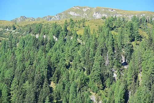
Kreuzkogel flightlog · CC BY 2.0


Climate of Karteis Graben
Best months for sightseeingBest months for sightseeing: July–August.
This month · November
A wet month
Day 6° · Night -1° · Rain 100 mm
- Hottest month
- July (day 20°)
- Coldest month
- January (night -5°)
- Wettest month
- July (183 mm)
- Driest month
- February (66 mm)
Bars: average monthly low and high temperature. Below: precipitation. Monthly averages for 1970–2000 at about 18 km resolution, adjusted for elevation. Highlighted months are mild and relatively dry. Source: WorldClim 2.1 (CC BY 4.0).
Show values as a table
| Month | Jan | Feb | Mar | Apr | May | Jun | Jul | Aug | Sep | Oct | Nov | Dec |
|---|---|---|---|---|---|---|---|---|---|---|---|---|
| Average high (°C) | 3° | 3° | 6° | 9° | 15° | 18° | 20° | 20° | 16° | 12° | 6° | 3° |
| Average low (°C) | -5° | -5° | -2° | 1° | 5° | 8° | 10° | 10° | 7° | 4° | -1° | -4° |
| Precipitation (mm) | 72 | 66 | 87 | 98 | 121 | 168 | 183 | 164 | 126 | 100 | 100 | 88 |
How to get to Karteis Graben
The nearest airport is Salzburg Airport (SZG), 72 km to the north as the crow flies. The nearest large city is Salzburg, 72 km to the north.
Airports
- Salzburg Airport (SZG) Salzburg 72 kmnorth
- Klagenfurt Airport (KLU) Klagenfurt am Wörthersee 100 kmsoutheast
- Linz-Hörsching Airport (LNZ) Linz 137 kmnortheast
Nearby large cities
- Salzburg Population: 157.2K 72 kmnorth
- Klagenfurt Population: 100.3K 99 kmsoutheast
- Innsbruck Population: 132.5K 142 kmwest
- Linz Population: 204.8K 148 kmnortheast
- Ljubljana Population: 272.2K 156 kmsoutheast
Straight-line distances; road distances are longer. Airport data: OurAirports.
Day trips from Karteis Graben
Within 100 km: 293 historic and cultural sites, 4,141 natural sites, 1,155 lakes, rivers and coasts.
0–25 km380 places
- Kleiner Paarsee Lake 17 kmNW
- Großer Paarsee Lake 17 kmNW
- Schuhflickersee Lake 14 kmNW
- Zauchsee Lake 20 kmNE
25–60 km2,181 places
- Hoher Dachstein Mountain 43 kmNE
- Fürlegsee Lake 49 kmW
- Vorderer Langtalsee Lake 41 kmSW
- Seeriessee Lake 42 kmNE
60–100 km3,028 places
- Triglav Mountain 98 kmSE
- Rjavina Mountain 98 kmSE
- Prestreljenik Mountain 91 kmS
- Vršič Mountain 89 kmSE
Straight-line distances.
Nearest towns and villages
-
Karteis Village, Hüttschlag<0.1 km N
-
Hüttschlag Municipality, St. Johann im Pongau District2.5 km S
-
Hüttschlag Village, Hüttschlag2.8 km NW
-
Seilsitzberg Village, Hüttschlag0.6 km N
-
Hirschgrubenalm Village, Hüttschlag0.8 km SE
-
Aschlreit Village, Hüttschlag1 km SE
Nearby attractions & nature
Everything nearby-
Hundeck Mountain, Hüttschlag2.2 km NW
-
Spiel Kogel Mountain, Hüttschlag1.9 km S
-
Hubalpen Bach River, State of Salzburg1.3 km W
-
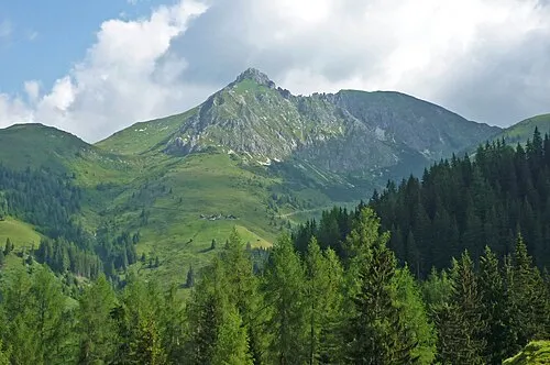 Draugstein Mountain, Hüttschlag3.9 km N
-
Spielkogel Mountain, Grossarl3.9 km N
-
Kreuzeck Mountain, Kleinarl4.2 km NE
-
Gurenstein Mountain, Hüttschlag3.7 km NE
-
Karteis Kopf Mountain, Hüttschlag4.5 km NE
More nature in Austria
-
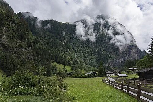 Flugkopf Mountain, Hüttschlag6.3 km SW
-
Nebelkareck Mountain, Zederhaus5.4 km E
-
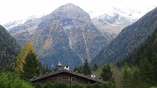 Böcksteinkogel Mountain, Bad Gastein7.8 km S
-
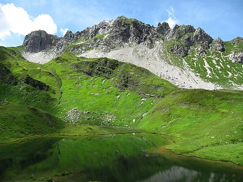 Wildkarkopf Mountain, Kleinarl6.3 km NE
-
Arappkogel Mountain, Grossarl5.1 km W
-
Seekarspitze Mountain, Hüttschlag5.3 km SE
Sources & licences
Data last updated: · 2 independent sources