- Elevation
- 2,280 m
- above sea level
- Local time
- UTC+01:00
- Europe/Vienna · UTC+01:00
- Airports
- KLU Klagenfurt Airport79 km
- SZG Salzburg Airport84 km
About Pollannock
Pollannock is a mountain. Location: Mariapfarr, Tamsweg District. Elevation: 2,280 m. The nearest airport is Klagenfurt Airport (79 km). Nearby sights include Gensgitsch and Granitzl.
Photos of Pollannock
-

Alterkogel Ewald Gabardi · CC BY-SA 3.0 -
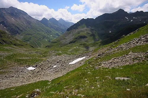
Rotsandspitze Ewald Gabardi · CC BY-SA 3.0 -
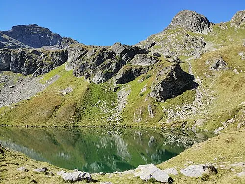
Scharnrock Eligiusz Jakimowicz · CC BY-SA 4.0 -
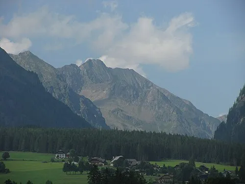
Blutspitze Kuhni74 · CC BY-SA 4.0 -
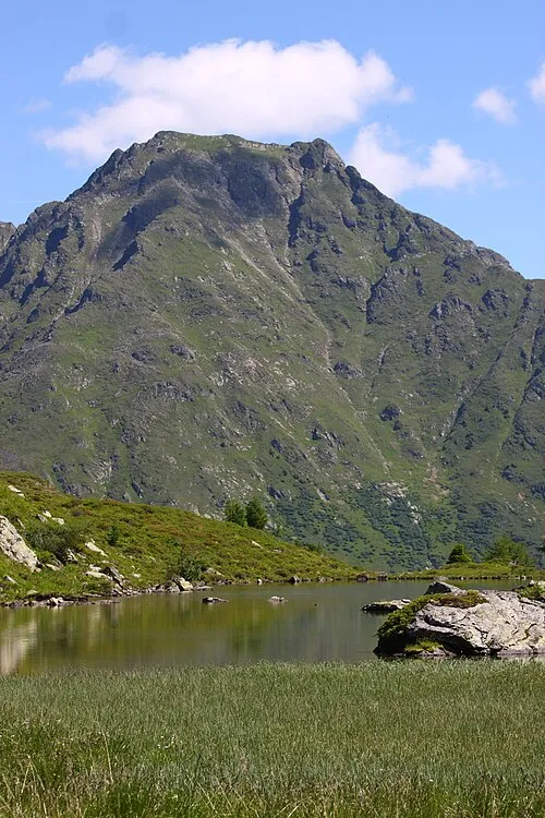
Schusterstuhl Ewald Gabardi · CC BY-SA 3.0


Climate of Pollannock
This month · November
A wet month
Day -2° · Night -9° · Rain 134 mm
- Hottest month
- July (day 11°)
- Coldest month
- February (night -13°)
- Wettest month
- July (203 mm)
- Driest month
- February (84 mm)
Bars: average monthly low and high temperature. Below: precipitation. Monthly averages for 1970–2000 at about 18 km resolution, adjusted for elevation. Highlighted months are mild and relatively dry. Source: WorldClim 2.1 (CC BY 4.0).
Show values as a table
| Month | Jan | Feb | Mar | Apr | May | Jun | Jul | Aug | Sep | Oct | Nov | Dec |
|---|---|---|---|---|---|---|---|---|---|---|---|---|
| Average high (°C) | -5° | -5° | -3° | 0° | 5° | 9° | 11° | 11° | 8° | 4° | -2° | -5° |
| Average low (°C) | -13° | -13° | -10° | -8° | -3° | 0° | 2° | 3° | -1° | -4° | -9° | -11° |
| Precipitation (mm) | 91 | 84 | 118 | 134 | 146 | 189 | 203 | 175 | 151 | 129 | 134 | 119 |
How to get to Pollannock
The nearest airport is Klagenfurt Airport (KLU), 79 km to the southeast as the crow flies. The nearest large city is Klagenfurt, 79 km to the southeast.
Airports
- Klagenfurt Airport (KLU) Klagenfurt am Wörthersee 79 kmsoutheast
- Salzburg Airport (SZG) Salzburg 84 kmnorthwest
- Linz-Hörsching Airport (LNZ) Linz 119 kmnorth
Nearby large cities
- Klagenfurt Population: 100.3K 79 kmsoutheast
- Salzburg Population: 157.2K 83 kmnorthwest
- Linz Population: 204.8K 128 kmnorth
- Graz Population: 303.3K 131 kmeast
- Ljubljana Population: 272.2K 142 kmsoutheast
Straight-line distances; road distances are longer. Airport data: OurAirports.
Day trips from Pollannock
Within 100 km: 334 historic and cultural sites, 3,860 natural sites, 1,142 lakes, rivers and coasts.
0–25 km454 places
- Seeriessee Lake 15 kmN
- Untersee Lake 18 kmNW
- Wildsee Lake 6 kmNW
- Schwarze Lacke Lake 21 kmN
25–60 km1,794 places
- Hoher Dachstein Mountain 30 kmN
- Klamm Natural site 56 kmNE
- Glohbuckensee Lake 57 kmNE
- Gemeinsee Lake 58 kmNE
60–100 km3,088 places
- Lake Bled Lake 99 kmS
- Triglav Mountain 93 kmS
- Rjavina Mountain 92 kmS
- Prestreljenik Mountain 97 kmS
Straight-line distances.
Nearest towns and villages
-
Lignitz Village, Mariapfarr1.7 km S
-
Zankwarn Village, Mariapfarr5.6 km S
-
Göriach Village, Göriach5.2 km SE
-
Tscharra Village, Mariapfarr3.5 km S
-
Grabendorf Village, Mariapfarr3.5 km S
-
Weißpriach Village, Weißpriach5.2 km W
Nearby attractions & nature
Everything nearby-
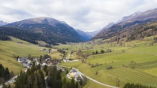 Gensgitsch Mountain, Mariapfarr0.6 km SE
-
Granitzl Mountain, Mariapfarr0.9 km W
-
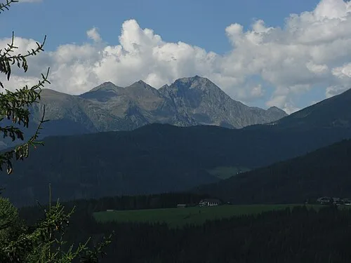 Lesshöhe Mountain, Göriach2.1 km N
-
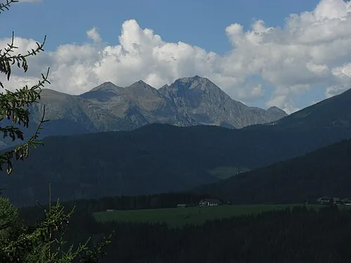 Hocheck Mountain, Göriach2.1 km N
-
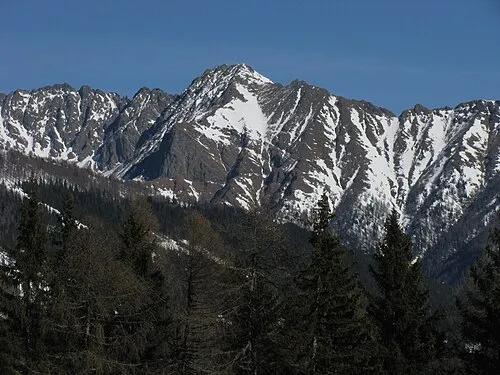 Kreuzhöhe Mountain, Göriach2.9 km E
-
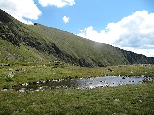 Zehnerkarspitze Mountain, Mariapfarr3 km NW
-
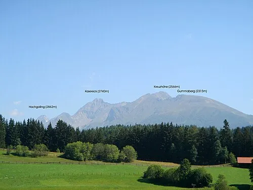 Kasereck Mountain, Göriach3.5 km NE
-
Rotsandspitze Mountain, Göriach4 km N
Sources & licences
Data last updated: