Kaltenbach
Located in Neuberg an der Mürz, Bruck-Mürzzuschlag District Coordinates: 47°45′00″ N 15°30′00″ E
- Population
- 2
- 2
- Elevation
- 914 m
- above sea level
- Local time
- UTC+01:00
- Europe/Vienna · UTC+01:00
- Airports
- GRZ Graz Airport84 km
- VIE Vienna International Airport89 km
About Kaltenbach
Kaltenbach is a village. Location: Neuberg an der Mürz, Bruck-Mürzzuschlag District. Population: 2. Elevation: 914 m. The best months to visit are June–September. The nearest airport is Graz Airport (84 km). Nearby sights include Kalte Mürz and Sulzriegl.
Photos of Kaltenbach
-
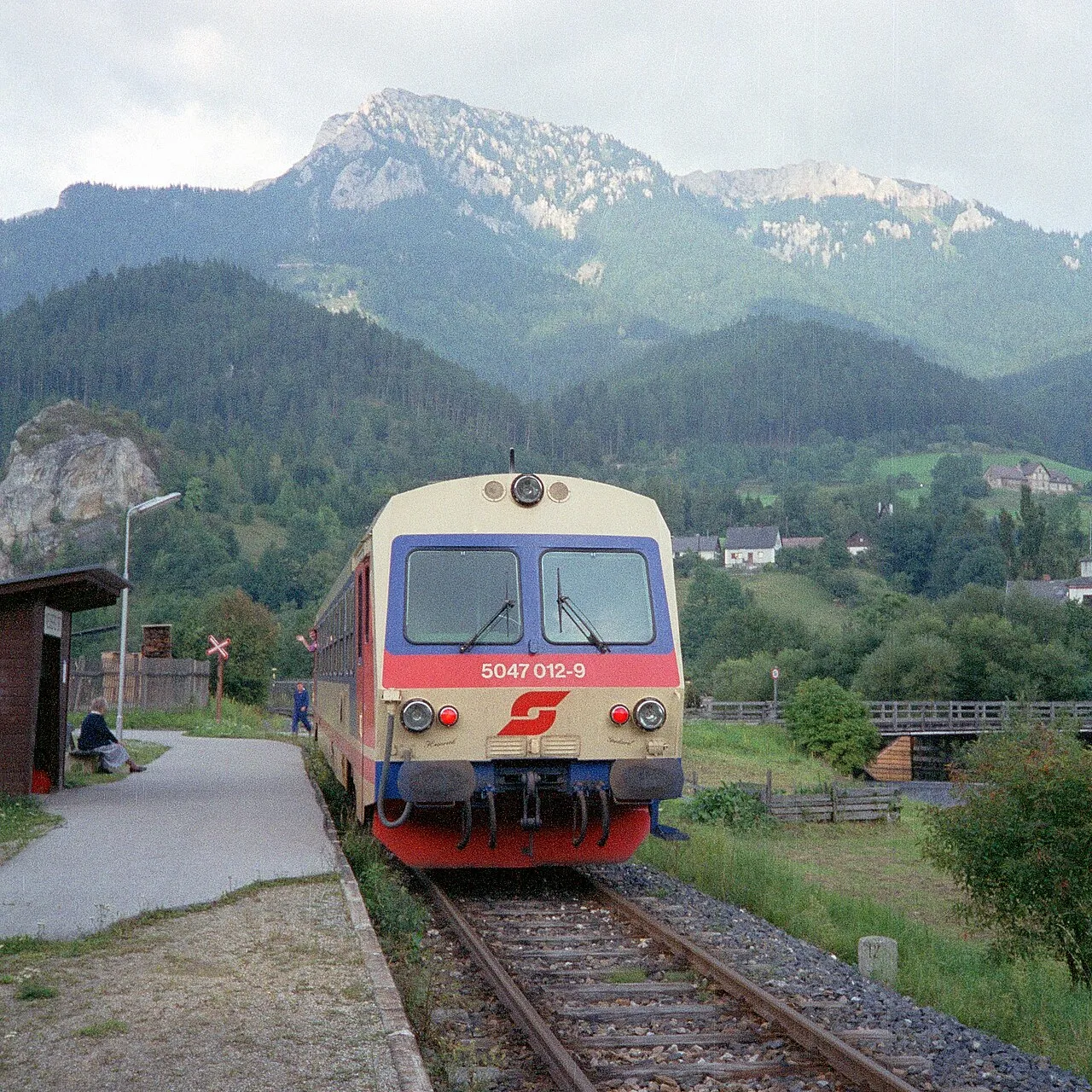
Rauherstein Herbert Ortner · CC BY 3.0 -
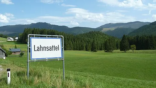
Hochwaxeneck Fazer910 · CC BY-SA 3.0 -
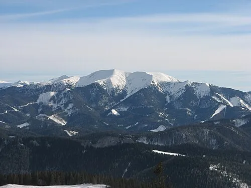
Göller Rainer Poisel · CC BY-SA 3.0 -
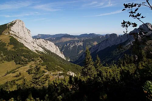
Donnerswand TheRunnerUp · CC BY-SA 4.0 -
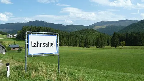
Hohes Waxenegg Fazer910 · CC BY-SA 3.0


Climate of Kaltenbach
Best months for sightseeingBest months for sightseeing: June–September.
This month · November
A cold month
Day 6° · Night -1° · Rain 82 mm
- Hottest month
- July (day 21°)
- Coldest month
- January (night -5°)
- Wettest month
- July (159 mm)
- Driest month
- February (65 mm)
Bars: average monthly low and high temperature. Below: precipitation. Monthly averages for 1970–2000 at about 18 km resolution, adjusted for elevation. Highlighted months are mild and relatively dry. Source: WorldClim 2.1 (CC BY 4.0).
Show values as a table
| Month | Jan | Feb | Mar | Apr | May | Jun | Jul | Aug | Sep | Oct | Nov | Dec |
|---|---|---|---|---|---|---|---|---|---|---|---|---|
| Average high (°C) | 2° | 3° | 6° | 10° | 16° | 18° | 21° | 20° | 17° | 12° | 6° | 3° |
| Average low (°C) | -5° | -5° | -2° | 1° | 6° | 9° | 10° | 10° | 7° | 3° | -1° | -4° |
| Precipitation (mm) | 66 | 65 | 87 | 91 | 117 | 140 | 159 | 131 | 110 | 80 | 82 | 79 |
Other places to visit in this season: June July August September
How to get to Kaltenbach
The nearest airport is Graz Airport (GRZ), 84 km to the south as the crow flies. The nearest large city is Graz, 76 km to the south.
Airports
- Graz Airport (GRZ) Feldkirchen bei Graz 84 kmsouth
- Vienna International Airport (VIE) Vienna 89 kmnortheast
- Linz-Hörsching Airport (LNZ) Linz 112 kmnorthwest
Nearby large cities
- Graz Population: 303.3K 76 kmsouth
- Linz Population: 204.8K 110 kmnorthwest
- Bratislava Population: 423.7K 128 kmeast
- Klagenfurt Population: 100.3K 154 kmsouthwest
- Győr Population: 129.3K 160 kmeast
Straight-line distances; road distances are longer. Airport data: OurAirports.
Day trips from Kaltenbach
Within 100 km: 556 historic and cultural sites, 2,036 natural sites, 634 lakes, rivers and coasts.
0–25 km213 places
- Hubertus see Lake 12 kmNW
- Hechten See Lake 20 kmW
- Erlauf-Stausee Lake 17 kmNW
- Erlaufsee Lake 18 kmW
25–60 km729 places
- Gassner Camel Riding School Natural site 60 kmN
- Türnsee Lake 29 kmW
- Teufelssee Lake 43 kmW
- Sackwiesensee Lake 37 kmSW
60–100 km2,284 places
- Klamm Natural site 93 kmW
- Gusen I Concentration Camp Historic site 96 kmNW
- Donauinsel Island 88 kmNE
- Treffnersee Lake 75 kmW
Straight-line distances.
Nearby attractions & nature
Everything nearby-
Kalte Mürz River, Austria<0.1 km N
-
Sulzriegl Mountain, Neuberg an der Mürz1.2 km N
-
Rosskogel Mountain, Neuberg an der Mürz2.2 km SE
-
Grosser Proles Mountain, Neuberg an der Mürz3.1 km SW
-
Wasserfall zum Toten Weib Natural site, Styria1.9 km S
-
Spielkogel Mountain, Neuberg an der Mürz2.9 km SE
Sources & licences
Data last updated: