Sankt Radegund bei Graz
Located in Politischer Bezirk Graz-Umgebung, Styria Coordinates: 47°10′45″ N 15°28′56″ E
- Population
- 2,123
- 2.1K
- Elevation
- 745 m
- above sea level
- Local time
- UTC+01:00
- Europe/Vienna · UTC+01:00
- Places inside
- 22
- listed under Sankt Radegund bei Graz
- Airports
- GRZ Graz Airport21 km
- MBX Maribor Edvard Rusjan Airport79 km
About Sankt Radegund bei Graz
Sankt Radegund bei Graz is a municipality. Location: Politischer Bezirk Graz-Umgebung, Styria. Population: 2,123. Elevation: 745 m. The best months to visit are June–September. The nearest airport is Graz Airport (21 km). Nearby sights include Schwarzwald and Jahndenkmal.
Photos of Sankt Radegund bei Graz
-
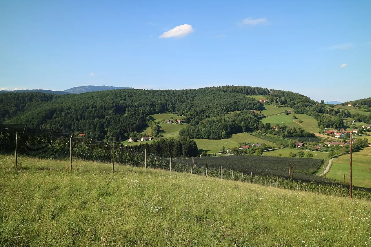
Lineck Berg Clemens Stockner · CC BY-SA 4.0 -
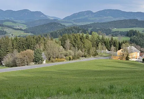
Burgstaller Höhe Herzi Pinki · CC BY-SA 4.0 -
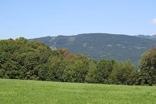
Hohenberg Clemens Stockner · CC BY-SA 4.0 -
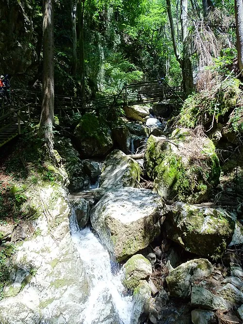
Kesselfallklamm Liuthalas · CC BY-SA 4.0 -
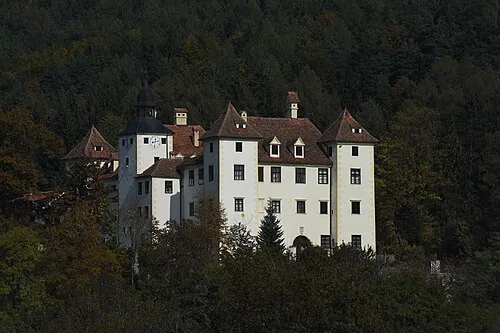
Schloss Kainberg Nxr-at · CC BY-SA 4.0


Climate of Sankt Radegund bei Graz
Best months for sightseeingBest months for sightseeing: June–September.
This month · November
A cold month
Day 7° · Night -1° · Rain 66 mm
- Hottest month
- July (day 22°)
- Coldest month
- January (night -6°)
- Wettest month
- July (139 mm)
- Driest month
- January (41 mm)
Bars: average monthly low and high temperature. Below: precipitation. Monthly averages for 1970–2000 at about 18 km resolution, adjusted for elevation. Highlighted months are mild and relatively dry. Source: WorldClim 2.1 (CC BY 4.0).
Show values as a table
| Month | Jan | Feb | Mar | Apr | May | Jun | Jul | Aug | Sep | Oct | Nov | Dec |
|---|---|---|---|---|---|---|---|---|---|---|---|---|
| Average high (°C) | 2° | 4° | 8° | 12° | 18° | 20° | 22° | 22° | 18° | 13° | 7° | 3° |
| Average low (°C) | -6° | -5° | -2° | 2° | 7° | 10° | 12° | 11° | 8° | 4° | -1° | -4° |
| Precipitation (mm) | 41 | 45 | 64 | 69 | 98 | 128 | 139 | 124 | 97 | 75 | 66 | 55 |
Other places to visit in this season: June July August September
How to get to Sankt Radegund bei Graz
The nearest airport is Graz Airport (GRZ), 21 km to the south as the crow flies. The nearest large city is Graz, 13 km to the south.
Airports
- Graz Airport (GRZ) Feldkirchen bei Graz 21 kmsouth
- Maribor Edvard Rusjan Airport (MBX) Maribor 79 kmsouth
- Klagenfurt Airport (KLU) Klagenfurt am Wörthersee 106 kmsouthwest
Nearby large cities
- Graz Population: 303.3K 13 kmsouth
- Klagenfurt Population: 100.3K 109 kmsouthwest
- Ljubljana Population: 272.2K 146 kmsouthwest
- Linz Population: 204.8K 154 kmnorthwest
- Zagreb Population: 663.6K 156 kmsouth
Straight-line distances; road distances are longer. Airport data: OurAirports.
Day trips from Sankt Radegund bei Graz
Within 100 km: 243 historic and cultural sites, 1,560 natural sites, 540 lakes, rivers and coasts.
0–25 km255 places
- Thaler See Lake 15 kmSW
- Weißegg Mountain 9 kmW
- Sengerberg Mountain 24 kmSE
- Zlatten Berg Mountain 22 kmNW
25–60 km750 places
- Waldteiche Lake 30 kmSE
- Sackwiesensee Lake 56 kmNW
- Dürrsee Lake 50 kmN
- Goldlacke Lake 58 kmW
60–100 km1,338 places
- Ribnica Lake Lake 77 kmS
- Pohorje Mountain 72 kmS
- Ščavnica River 96 kmSE
- Klamm Natural site 96 kmNW
Straight-line distances.
Places in Sankt Radegund bei Graz
22 places- 1 Sankt Radegund bei Graz 814
- 2 Rinnegg 541
- 3 Diepoltsberg 233
- 4 Ebersdorf 173
- 5 Willersdorf 170
- 6 Schöckl 122
- 7 Kickenheim 112
Bar: population relative to the most populous place in this list.
Cities & villages6
Mountains & nature5
- Erharthöhe · Mountain
- Hohenberg · Mountain
- Schöckl · Mountain
- Schöcklkopf · Mountain
- Zwölferkogel · Mountain
Heritage & sights4
- Novystein · Landmark
- Ruine Ehrenfels · Historic site
- Schloss Isenrode · Historic site
- Tegetthoffstein · Landmark
Nearby attractions & nature
Everything nearby-
Schwarzwald Natural site, Styria1.8 km SW
-
Jahndenkmal Landmark, Passail2.6 km NW
-
Gießbach River, Styria1.9 km SE
-
Sendeturm Schöckl Landmark, Semriach2.6 km NW
-
Nieder Schöckl Mountain, Stattegg3.7 km W
-
Moorbach River, Styria2.7 km E
-
Rabnitzbach River, Styria3 km SE
-
Rabnitzberg Mountain, Gutenberg-Stenzengreith4.4 km N
Other cities and towns in Politischer Bezirk Graz-Umgebung
-
 Kalsdorf bei Graz Municipality, Politischer Bezirk Graz-Umgebung24 km S
-
Semriach Municipality, Politischer Bezirk Graz-Umgebung7.6 km NW
-
Gratkorn Municipality, Politischer Bezirk Graz-Umgebung9.4 km W
-
Eggersdorf bei Graz Municipality, Politischer Bezirk Graz-Umgebung11 km SE
-
Peggau Municipality, Politischer Bezirk Graz-Umgebung10 km W
-
Kainbach bei Graz Municipality, Politischer Bezirk Graz-Umgebung10 km SE
Sources & licences
Data last updated: