Schwemmberg
Located in Pflach, Politischer Bezirk Reutte Coordinates: 47°31′22″ N 10°42′09″ E
- Elevation
- 899 m
- above sea level
- Local time
- UTC+01:00
- Europe/Vienna · UTC+01:00
- Airports
- INN Innsbruck Airport57 km
- FMM Memmingen Allgau Airport62 km
About Schwemmberg
Schwemmberg is a mountain. Location: Pflach, Politischer Bezirk Reutte. Elevation: 899 m. The best months to visit are June–September. The nearest airport is Innsbruck Airport (57 km). Nearby sights include Dürrental and Siebeler.
Photos of Schwemmberg
-
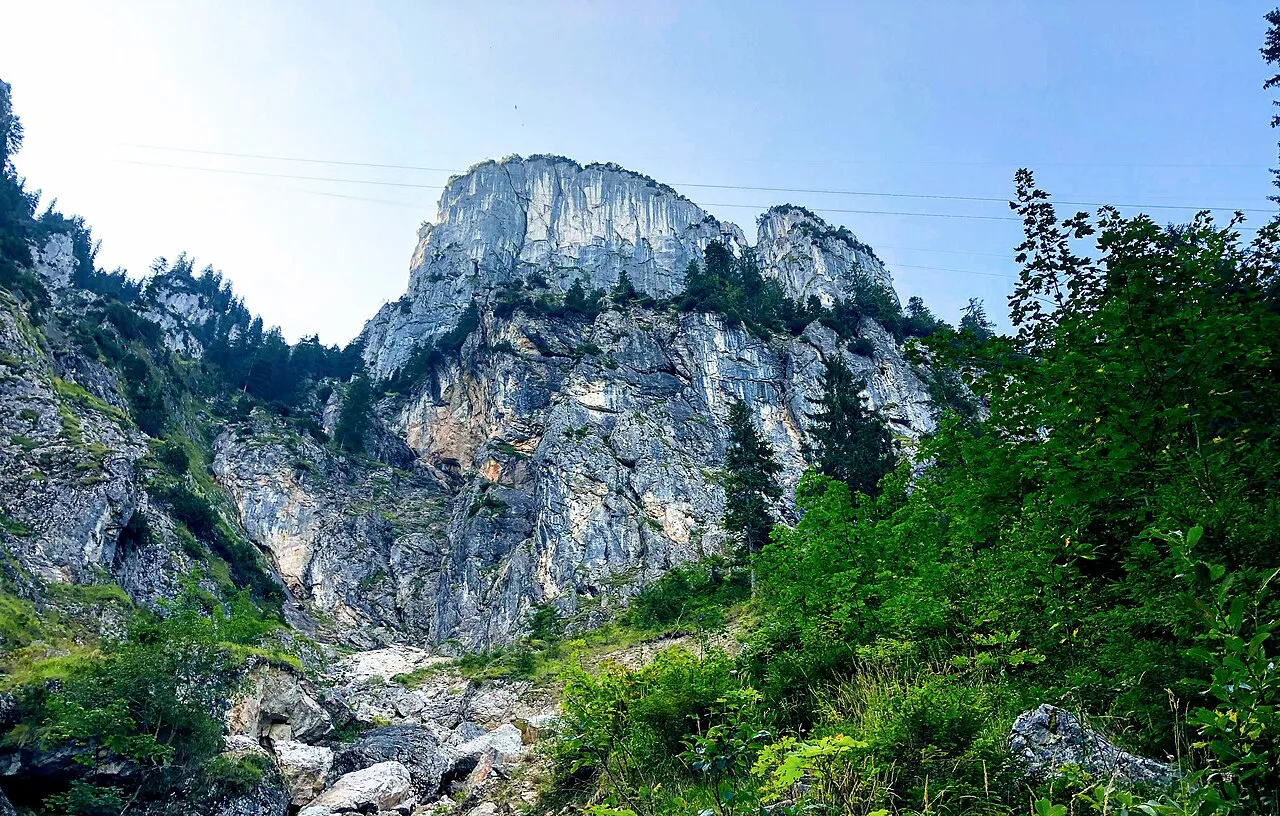
Thorkopf Wasquewhat · CC BY-SA 4.0 -
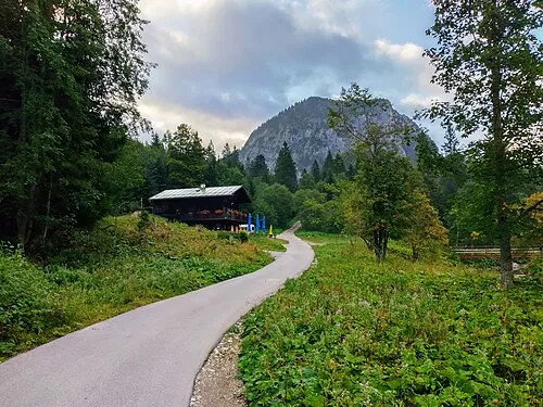
Schlagstein Bruno413 · CC BY-SA 4.0 -
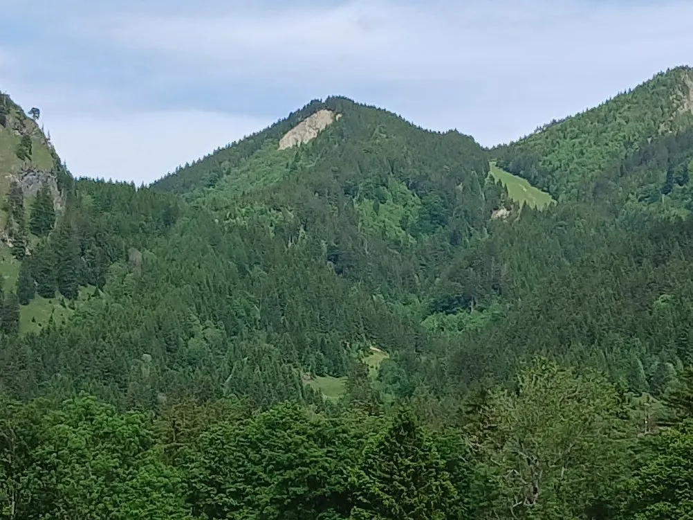
Rohrkopf Bruno413 · CC0 -
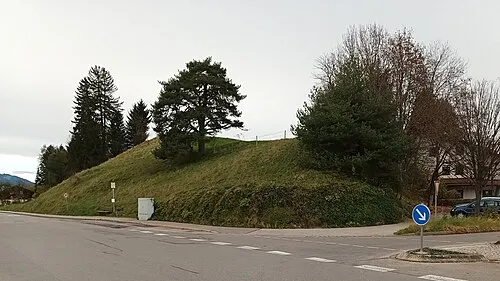
Oblisberg Bruno413 · CC BY-SA 4.0 -
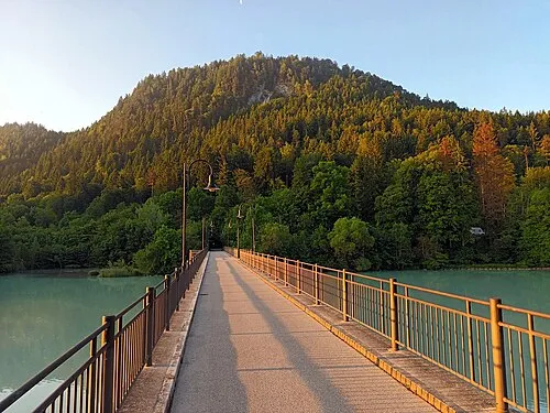
Kienberg Bruno413 · CC BY-SA 4.0


Climate of Schwemmberg
Best months for sightseeingBest months for sightseeing: June–September.
This month · November
A cold month
Day 6° · Night -1° · Rain 88 mm
- Hottest month
- July (day 21°)
- Coldest month
- January (night -5°)
- Wettest month
- July (180 mm)
- Driest month
- January (67 mm)
Bars: average monthly low and high temperature. Below: precipitation. Monthly averages for 1970–2000 at about 18 km resolution, adjusted for elevation. Highlighted months are mild and relatively dry. Source: WorldClim 2.1 (CC BY 4.0).
Show values as a table
| Month | Jan | Feb | Mar | Apr | May | Jun | Jul | Aug | Sep | Oct | Nov | Dec |
|---|---|---|---|---|---|---|---|---|---|---|---|---|
| Average high (°C) | 3° | 4° | 7° | 11° | 16° | 19° | 21° | 21° | 17° | 12° | 6° | 3° |
| Average low (°C) | -5° | -4° | -1° | 1° | 6° | 9° | 11° | 11° | 8° | 4° | -1° | -3° |
| Precipitation (mm) | 67 | 69 | 84 | 96 | 126 | 170 | 180 | 168 | 113 | 81 | 88 | 78 |
Other places to visit in this season: June July August September
How to get to Schwemmberg
The nearest airport is Innsbruck Airport (INN), 57 km to the southeast as the crow flies. The nearest large city is Innsbruck, 60 km to the southeast.
Airports
- Innsbruck Airport (INN) Innsbruck 57 kmsoutheast
- Memmingen Allgau Airport (FMM) Memmingen 62 kmnorthwest
- Sankt Gallen Altenrhein Airport (ACH) St. Gallen 86 kmwest
Nearby large cities
- Innsbruck Population: 132.5K 60 kmsoutheast
- Munich Population: 1.5M 95 kmnortheast
- Augsburg Population: 301.1K 96 kmnorth
- Ulm Population: 120.5K 111 kmnorthwest
- Ingolstadt Population: 120.7K 148 kmnorth
Straight-line distances; road distances are longer. Airport data: OurAirports.
Day trips from Schwemmberg
Within 100 km: 469 historic and cultural sites, 4,946 natural sites, 1,246 lakes, rivers and coasts.
0–25 km727 places
- Weissensee Lake 21 kmSE
- Vilsalpsee Lake 16 kmW
- Traualpsee Lake 16 kmSW
- Seebensee Lake 25 kmSE
25–60 km2,101 places
- Bayerisches Oberland Mountain 52 kmE
- Schloss Hirschberg am Haarsee Historic site 50 kmNE
- Kapfkopf Mountain 52 kmSW
- Wildsee Lake 43 kmSE
60–100 km3,833 places
- Weiher Diepoldsau Lake 79 kmW
- Gotschnaseeli Lake 98 kmSW
- Lai Sura Lake 99 kmSW
- Alter Rhein Lake 81 kmW
Straight-line distances.
Nearest towns and villages
-
Oberletzen Village, Pflach0.7 km S
-
Pflach Village, Pflach1.3 km SE
-
Unterletzen Village, Pflach0.7 km S
-
Pinswang Municipality, Politischer Bezirk Reutte2.1 km N
-
Lechaschau Municipality, Politischer Bezirk Reutte2.9 km S
-
Wiesbichlsiedlung Neighbourhood, Pflach0.7 km S
Nearby attractions & nature
Everything nearby-
Dürrental Natural site, Tyrol1 km NE
-
Siebeler Mountain, Musau0.8 km W
-
Auenbach River, Tyrol0.4 km N
-
Bärenauköpfla Mountain, Pflach1.5 km E
-
Lussbach River, Tyrol0.9 km E
-
Giltal Natural site, Tyrol2.2 km E
-
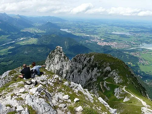 Pilgerschrofen Mountain, Pflach2.6 km NE
-
Kühbach River, Tyrol1.2 km SW
Sources & licences
Data last updated: