Sibratsgfäll
Located in Politischer Bezirk Bregenz, Vorarlberg Coordinates: 47°24′55″ N 10°03′36″ E
- Population
- 397
- 397
- Elevation
- 952 m
- above sea level
- Local time
- UTC+01:00
- Europe/Vienna · UTC+01:00
- Places inside
- 9
- listed under Sibratsgfäll
- Airports
- ACH Sankt Gallen Altenrhein Airport38 km
- FDH Bodensee Airport Friedrichshafen50 km
About Sibratsgfäll
Sibratsgfäll is a municipality. Location: Politischer Bezirk Bregenz, Vorarlberg. Population: 397. Elevation: 952 m. The best months to visit are June–September. The nearest airport is Sankt Gallen Altenrhein Airport (38 km). Nearby sights include Schönbach and Fugenbach.
Climate of Sibratsgfäll
Best months for sightseeingBest months for sightseeing: June–September.
This month · November
A wet month
Day 7° · Night 0° · Rain 117 mm
- Hottest month
- July (day 21°)
- Coldest month
- January (night -4°)
- Wettest month
- July (188 mm)
- Driest month
- October (99 mm)
Bars: average monthly low and high temperature. Below: precipitation. Monthly averages for 1970–2000 at about 18 km resolution, adjusted for elevation. Highlighted months are mild and relatively dry. Source: WorldClim 2.1 (CC BY 4.0).
Show values as a table
| Month | Jan | Feb | Mar | Apr | May | Jun | Jul | Aug | Sep | Oct | Nov | Dec |
|---|---|---|---|---|---|---|---|---|---|---|---|---|
| Average high (°C) | 3° | 4° | 7° | 10° | 15° | 18° | 21° | 21° | 17° | 13° | 7° | 4° |
| Average low (°C) | -4° | -4° | -1° | 2° | 6° | 9° | 11° | 12° | 9° | 5° | 0° | -3° |
| Precipitation (mm) | 100 | 100 | 104 | 112 | 131 | 175 | 188 | 173 | 128 | 99 | 117 | 111 |
Other places to visit in this season: June July August September
How to get to Sibratsgfäll
The nearest airport is Sankt Gallen Altenrhein Airport (ACH), 38 km to the west as the crow flies. For international flights: Bodensee Airport Friedrichshafen (FDH) (50 km). The nearest large city is Winterthur, 101 km to the west.
Airports
- Sankt Gallen Altenrhein Airport (ACH) St. Gallen 38 kmwest
- Bodensee Airport Friedrichshafen (FDH) Friedrichshafen 50 kmnorthwest
- Memmingen Allgau Airport (FMM) Memmingen 65 kmnorth
Nearby large cities
- Winterthur Population: 111.8K 101 kmwest
- Innsbruck Population: 132.5K 102 kmeast
- Ulm Population: 120.5K 109 kmnorth
- Zurich Population: 415.4K 114 kmwest
- Augsburg Population: 301.1K 123 kmnortheast
Straight-line distances; road distances are longer. Airport data: OurAirports.
Places in Sibratsgfäll
9 placesBar: population relative to the most populous place in this list.
Cities & villages2
Mountains & nature6
- Burstkopf · Mountain
- Feuerstätterkopf · Mountain
- Flohkopf · Mountain
- Mährenhöhe · Mountain
- Plessigkopf · Mountain
- Renkknie · Mountain
Nearby attractions & nature
Everything nearby-
Schönbach River, Austria0.5 km E
-
Fugenbach River, Austria0.5 km E
-
Hörnlein Mountain, Balderschwang3.7 km E
-
Riesenkopf Mountain, Balderschwang4.1 km E
-
Hochschelpen Mountain, Balderschwang4.3 km NE
-
Patennerkopf Mountain, Egg3.6 km W
-
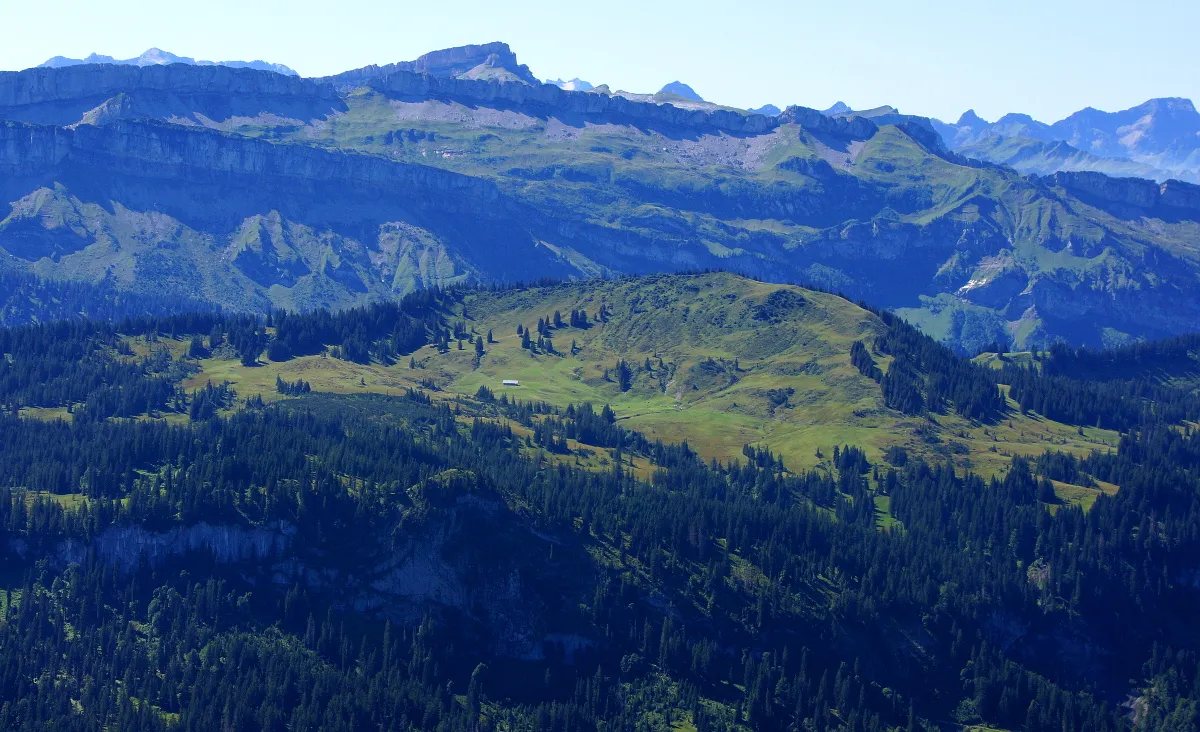 Piesenkopf Mountain, Balderschwang5.5 km E
-
Nägelekopf Mountain, Egg3.9 km SW
Sources & licences
Data last updated: