Municipality of Cernik
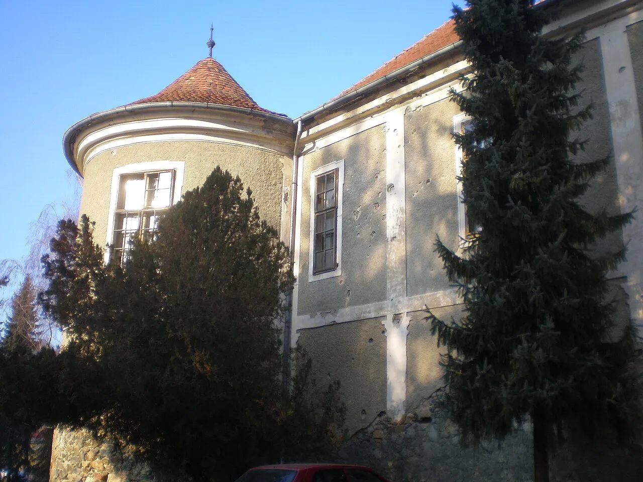
Located in Brod-Posavina County, Croatia Coordinates: 45°17′11″ N 17°22′51″ E
- Population
- 2,964
- 3K
- Elevation
- 164 m
- above sea level
- Local time
- UTC+01:00
- Europe/Zagreb · UTC+01:00
- Places inside
- 5
- listed under Municipality of Cernik
- Airports
- BNX Banja Luka International Airport39 km
- PEV Pécs-Pogány International Airport103 km
About Municipality of Cernik
Municipality of Cernik is a district. Location: Brod-Posavina County, Croatia. Population: 2,964. The best months to visit are May–June, September. The nearest airport is Banja Luka International Airport (39 km). Nearby sights include Požeška Gora and Psunj Planina.
Climate of Municipality of Cernik
Best months for sightseeingBest months for sightseeing: May–June, September.
This month · November
A cold month
Day 10° · Night 2° · Rain 85 mm
- Hottest month
- July (day 27°)
- Coldest month
- January (night -3°)
- Wettest month
- June (102 mm)
- Driest month
- February (52 mm)
Bars: average monthly low and high temperature. Below: precipitation. Monthly averages for 1970–2000 at about 18 km resolution, adjusted for elevation. Highlighted months are mild and relatively dry. Source: WorldClim 2.1 (CC BY 4.0).
Show values as a table
| Month | Jan | Feb | Mar | Apr | May | Jun | Jul | Aug | Sep | Oct | Nov | Dec |
|---|---|---|---|---|---|---|---|---|---|---|---|---|
| Average high (°C) | 4° | 7° | 12° | 16° | 22° | 25° | 27° | 27° | 23° | 17° | 10° | 5° |
| Average low (°C) | -3° | -2° | 2° | 5° | 10° | 13° | 15° | 14° | 10° | 6° | 2° | -2° |
| Precipitation (mm) | 57 | 52 | 60 | 75 | 83 | 102 | 84 | 83 | 71 | 79 | 85 | 70 |
How to get to Municipality of Cernik
The nearest airport is Banja Luka International Airport (BNX), 39 km to the south as the crow flies. The nearest large city is Pécs, 110 km to the northeast.
Airports
- Banja Luka International Airport (BNX) Mahovljani 39 kmsouth
- Pécs-Pogány International Airport (PEV) Pécs 103 kmnortheast
- Osijek Airport (OSI) Osijek(Klisa) 114 kmeast
Nearby large cities
- Pécs Population: 145.3K 110 kmnortheast
- Zagreb Population: 663.6K 124 kmnorthwest
- Split Population: 149.8K 211 kmsouth
- Székesfehérvár Population: 101.6K 226 kmnorth
- Rijeka Population: 108K 230 kmwest
Straight-line distances; road distances are longer. Airport data: OurAirports.
Day trips from Municipality of Cernik
Within 100 km: 3 historic and cultural sites, 13 natural sites, 20 lakes, rivers and coasts.
0–25 km5 places
- Cerje Mountain 24 kmE
- Sokolovac Mountain 22 kmE
- Cerovac Mountain 23 kmE
- Psunj Planina Mountain 14 kmN
25–60 km12 places
- Krndija Mountain 46 kmNE
- Sunja River 47 kmW
- Jezero Petnja Lake 46 kmE
- Petnja River 45 kmE
60–100 km19 places
- Palanka Mountain 94 kmW
- Sredska River 68 kmNW
- Tenkes Mountain 95 kmNE
- Gora Moslavačka Mountain 67 kmNW
Straight-line distances.
Places in Municipality of Cernik
5 placesBar: population relative to the most populous place in this list.
Nearby attractions & nature
Everything nearby-
 Požeška Gora Mountain, Croatia16 km E
-
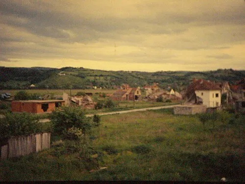 Psunj Planina Mountain, Croatia14 km N
-
Cerovac Mountain, Brod-Posavina County23 km E
-
Cerje Mountain, Brod-Posavina County24 km E
-
Sokolovac Mountain, Požega-Slavonia County22 km E
Sources & licences
Data last updated: