- Elevation
- 984 m
- above sea level
- Local time
- UTC+01:00
- Europe/Zagreb · UTC+01:00
- Airports
- BNX Banja Luka International Airport51 km
- PEV Pécs-Pogány International Airport97 km
About Psunj Planina
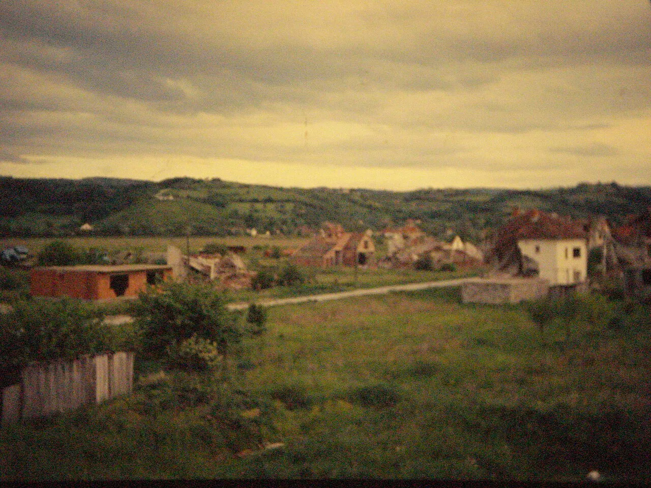
Psunj Planina is a mountain. Location: Croatia. Elevation: 984 m.
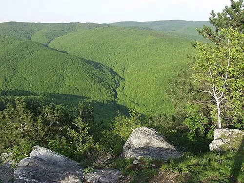
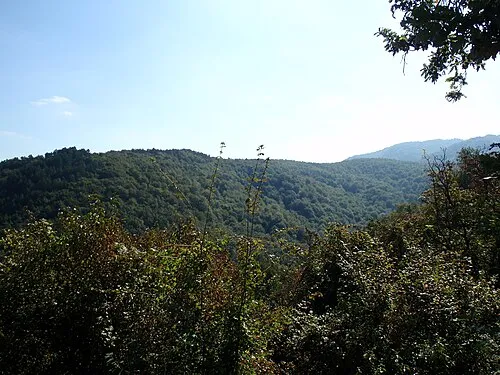
Psunj is a mountain in the southwestern Slavonia region in eastern Croatia. It is the highest mountain of Slavonia, with the highest peak of Brezovo polje at 984 m.a.s.l. In the north it extends to Ravna gora and Papuk, while otherwise it is surrounded by lowlands. It is located north of Nova Gradiška and southeast of Pakrac. On Psunj, there is a 128.5-metre-tall (422 ft) lattice tower used for FM and TV transmission, which was designed by Prof. Marjan Ivancic and built by Mostogradnja in 1962/1963.
Read more on Wikipedia Text: Wikipedia contributors · CC BY-SA 4.0 · shortened
Climate of Psunj Planina
Best months for sightseeingBest months for sightseeing: June–August.
Bars: average monthly low and high temperature. Below: precipitation. Monthly averages for 1970–2000 at about 18 km resolution, adjusted for elevation. Highlighted months are mild and relatively dry. Source: WorldClim 2.1 (CC BY 4.0).
Show values as a table
| Month | Jan | Feb | Mar | Apr | May | Jun | Jul | Aug | Sep | Oct | Nov | Dec |
|---|---|---|---|---|---|---|---|---|---|---|---|---|
| Average high (°C) | -1° | 2° | 7° | 11° | 16° | 20° | 22° | 21° | 17° | 12° | 5° | 0° |
| Average low (°C) | -7° | -6° | -3° | 1° | 6° | 9° | 10° | 10° | 6° | 2° | -2° | -6° |
| Precipitation (mm) | 58 | 53 | 64 | 79 | 87 | 105 | 88 | 92 | 78 | 82 | 89 | 72 |
Airports nearest to Psunj Planina
- Banja Luka International Airport (BNX) Mahovljani 51 km
- Pécs-Pogány International Airport (PEV) Pécs 97 km
- Zagreb Franjo Tuđman International Airport (ZAG) Velika Gorica 105 km
Straight-line distance; airports with scheduled flights only. Source: OurAirports (public domain).
Nearest towns and villages

Nearby attractions & nature
Everything nearby-
Ravna Gora Mountain, Požega-Slavonia County17 km NE
-
 Požeška Gora Mountain, Croatia25 km SE
More nature in Croatia
Sources & licences
Data last updated: · 2 independent sources