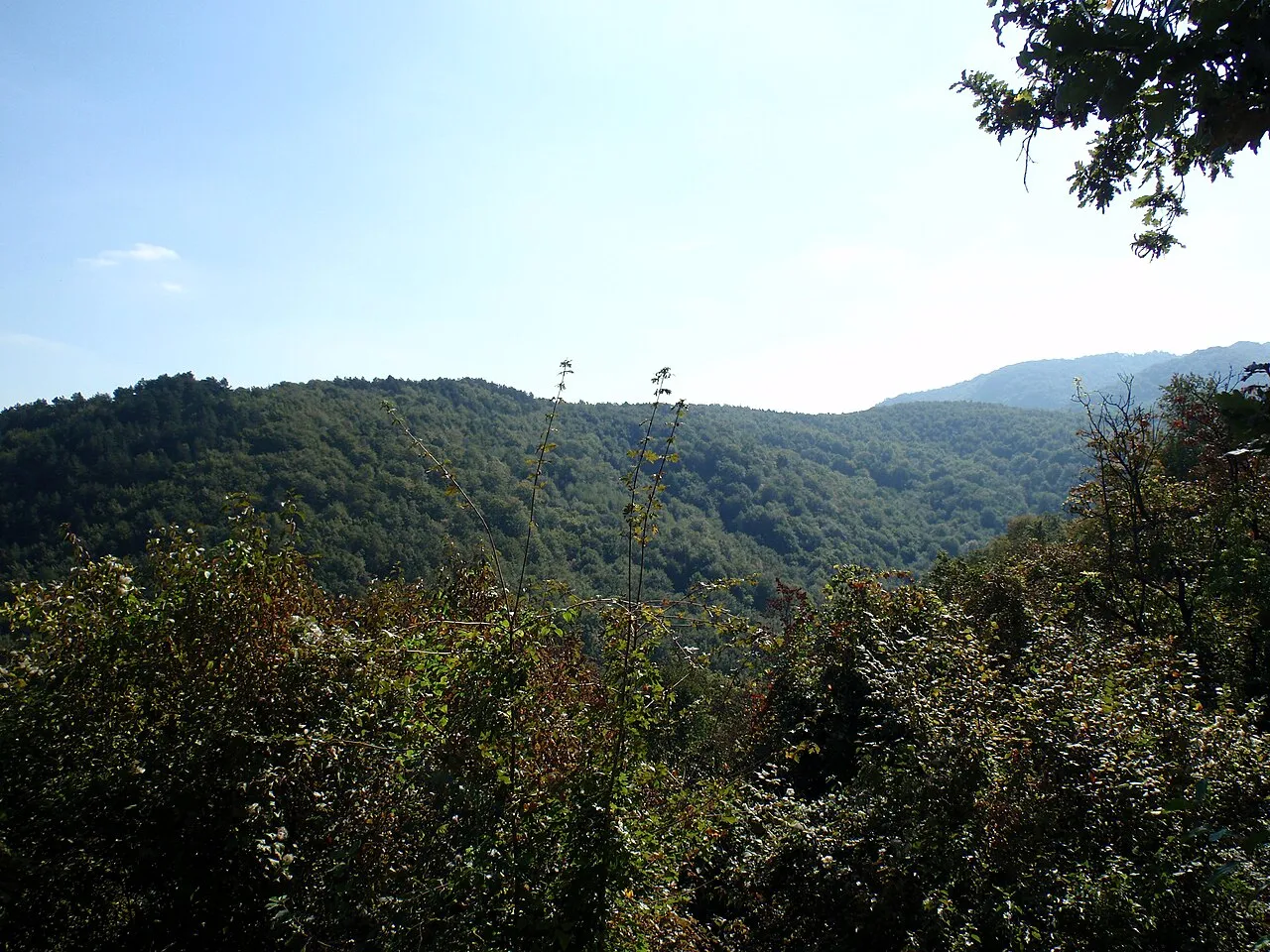
- Elevation
- 570 m
- above sea level
- Local time
- UTC+01:00
- Europe/Zagreb · UTC+01:00
- Population
- 792
- 792
- Airports
- PEV Pécs-Pogány International Airport65 km
- OSI Osijek Airport70 km
About Krndija
Krndija is a mountain. Location: Croatia. Population: 792. Elevation: 570 m.
Krndija is a mountain in Slavonia, Croatia, extending eastwards from Papuk. It is located south of Orahovica and Našice and north of Požega. The westernmost point of Krndija is the mountain pass that connects Orahovica with Kutjevo; the easternmost point is hard to determine, as it gradually passes into the lowland area near Đakovo and further east near Vinkovci. The highest peak Kapovac is located in the western part of Krndija, at 792 metres (2,598 ft).
Read more on Wikipedia Text: Wikipedia contributors · CC BY-SA 4.0 · shortened
Climate of Krndija
Best months for sightseeingBest months for sightseeing: June–September.
Bars: average monthly low and high temperature. Below: precipitation. Monthly averages for 1970–2000 at about 18 km resolution, adjusted for elevation. Highlighted months are mild and relatively dry. Source: WorldClim 2.1 (CC BY 4.0).
Show values as a table
| Month | Jan | Feb | Mar | Apr | May | Jun | Jul | Aug | Sep | Oct | Nov | Dec |
|---|---|---|---|---|---|---|---|---|---|---|---|---|
| Average high (°C) | 1° | 3° | 9° | 13° | 19° | 22° | 24° | 24° | 20° | 14° | 7° | 2° |
| Average low (°C) | -5° | -4° | -1° | 3° | 8° | 11° | 12° | 12° | 8° | 4° | -1° | -4° |
| Precipitation (mm) | 49 | 47 | 48 | 60 | 74 | 99 | 72 | 70 | 59 | 69 | 78 | 63 |
Other places to visit in this season: June July August September
Airports nearest to Krndija
- Pécs-Pogány International Airport (PEV) Pécs 65 km
- Osijek Airport (OSI) Osijek(Klisa) 70 km
- Banja Luka International Airport (BNX) Mahovljani 75 km
Straight-line distance; airports with scheduled flights only. Source: OurAirports (public domain).
Nearest towns and villages


Nearby attractions & nature
Everything nearbyMore nature in Croatia
-
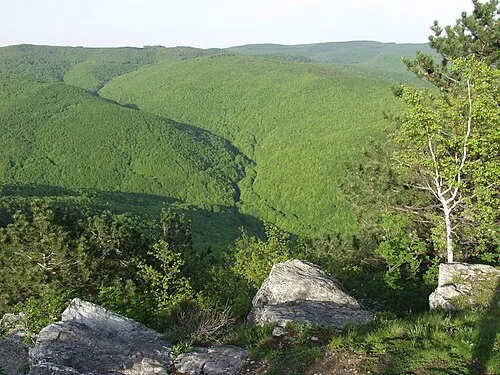 Papuk Mountain, Požega-Slavonia County26 km W
-
 Požeška Gora Mountain, Croatia32 km SW
-
Cerje Mountain, Brod-Posavina County33 km SW
-
Ravna Gora Mountain, Požega-Slavonia County36 km W
-
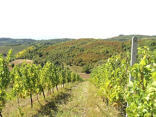 Dilj Planina Mountain, Croatia25 km SE
-
Cerovac Mountain, Brod-Posavina County29 km SW
Sources & licences
Data last updated: · 2 independent sources