- Elevation
- 424 m
- above sea level
- Local time
- UTC+01:00
- Europe/Zagreb · UTC+01:00
- Airports
- OSI Osijek Airport61 km
- BNX Banja Luka International Airport72 km
About Dilj Planina
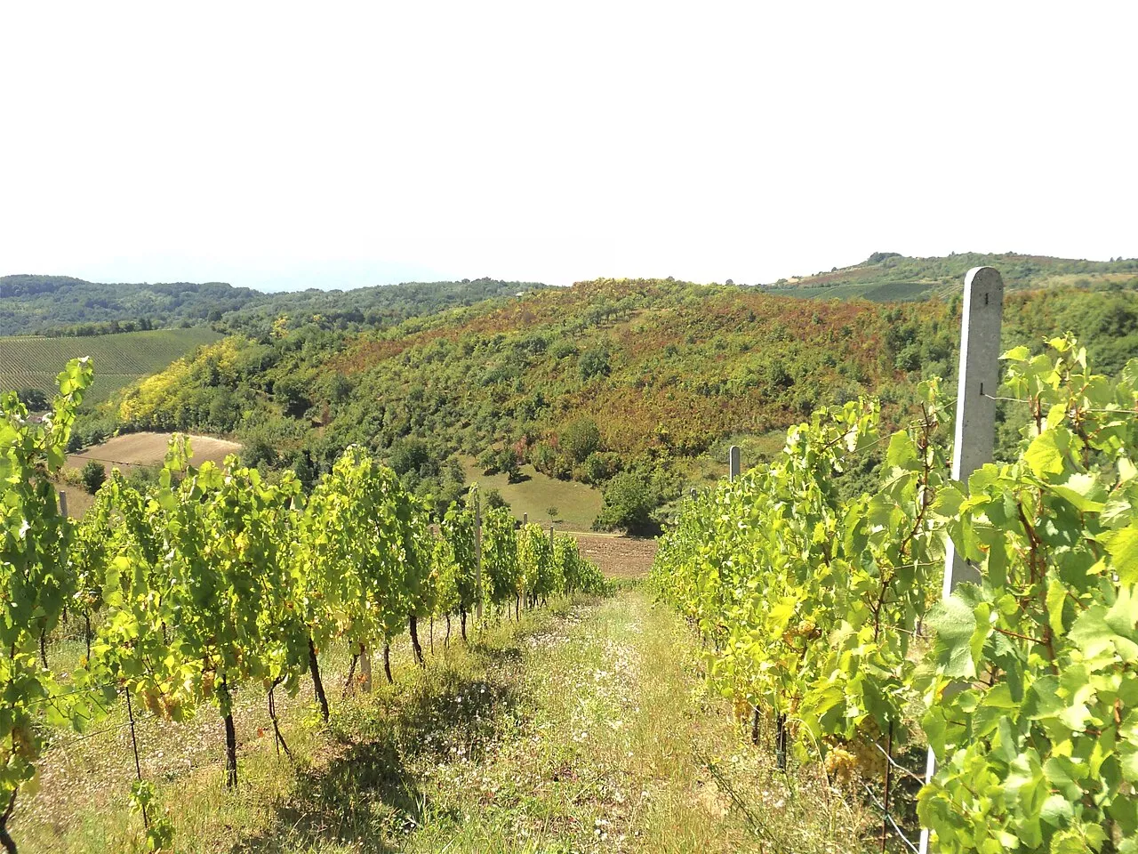
Dilj Planina is a mountain. Location: Croatia. Elevation: 424 m.
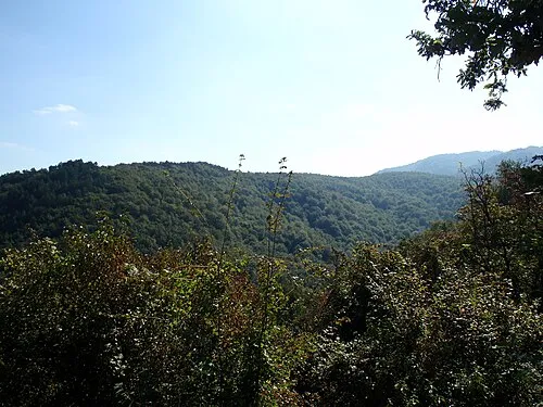
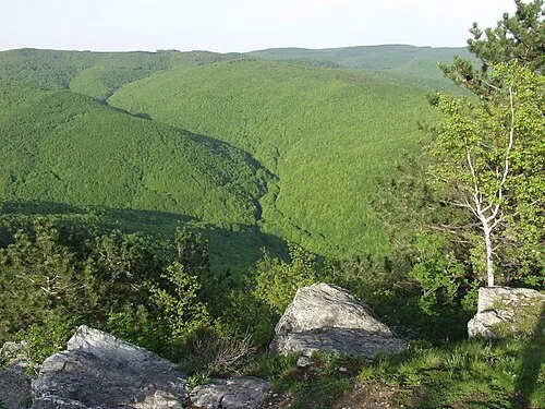
Dilj is a low mountain in south-central Slavonia, located in eastern Croatia. Of all the mountains in Slavonia, Dilj is the lowest-lying, at 471 meters. It is located north of Slavonski Brod and south of Krndija. Dilj mountain contains a forest that spreads in an east–west direction of approximately 50 km, and a north–south direction of approximately 30 km. Forestation of the area includes a variety of plants, including Pannonian-Balkan forest oak.
Read more on Wikipedia Text: Wikipedia contributors · CC BY-SA 4.0 · shortened
At a glance
- Length
- 45 km
Source: Wikidata
Climate of Dilj Planina
Best months for sightseeingBest months for sightseeing: May–September.
Bars: average monthly low and high temperature. Below: precipitation. Monthly averages for 1970–2000 at about 18 km resolution, adjusted for elevation. Highlighted months are mild and relatively dry. Source: WorldClim 2.1 (CC BY 4.0).
Show values as a table
| Month | Jan | Feb | Mar | Apr | May | Jun | Jul | Aug | Sep | Oct | Nov | Dec |
|---|---|---|---|---|---|---|---|---|---|---|---|---|
| Average high (°C) | 2° | 4° | 10° | 14° | 20° | 23° | 25° | 25° | 21° | 15° | 7° | 3° |
| Average low (°C) | -5° | -4° | -1° | 3° | 8° | 11° | 13° | 12° | 9° | 4° | 0° | -4° |
| Precipitation (mm) | 48 | 49 | 46 | 58 | 72 | 99 | 68 | 64 | 55 | 69 | 78 | 63 |
Other places to visit in this season: May June July August September
Airports nearest to Dilj Planina
- Osijek Airport (OSI) Osijek(Klisa) 61 km
- Banja Luka International Airport (BNX) Mahovljani 72 km
- Pécs-Pogány International Airport (PEV) Pécs 82 km
Straight-line distance; airports with scheduled flights only. Source: OurAirports (public domain).
Nearest towns and villages
-
Paka Village, Municipality of Čaglin4.2 km NW
-
Borojevci Village, Municipality of Levanjska Varoš3 km N
-
Slobodna Vlast Village, Municipality of Levanjska Varoš6 km NE
-
 Podcrkavlje City, Municipality of Podcrkavlje7.7 km SW
-
 Bukovlje City, Municipality of Bukovlje8.4 km S
-
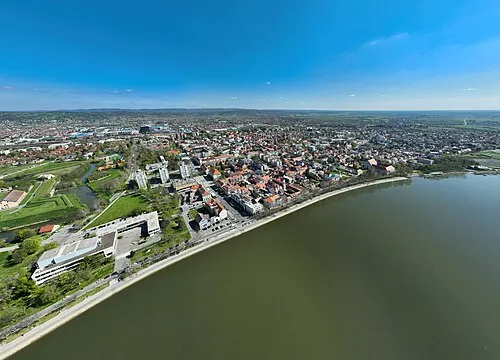 Slavonski Brod City, Town of Slavonski Brod12 km SW
Nearby attractions & nature
Everything nearby-
Jezero Petnja Lake, Brod-Posavina County13 km SW
-
Petnja River, Croatia13 km SW
-
Londža River, Croatia22 km W
More nature in Croatia

Sources & licences
Data last updated: · 2 independent sources