Slavonski Brod
Located in Town of Slavonski Brod, Brod-Posavina County Coordinates: 45°09′42″ N 18°00′59″ E
- Population
- 45,005
- 45K
- Elevation
- 83 m
- above sea level
- Local time
- UTC+01:00
- Europe/Zagreb · UTC+01:00
- Airports
- BNX Banja Luka International Airport62 km
- OSI Osijek Airport71 km
About Slavonski Brod
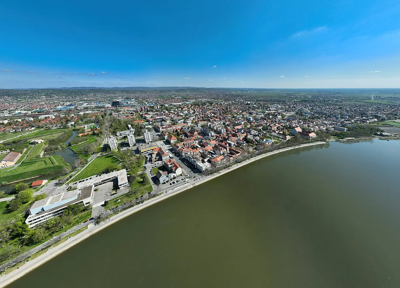
Slavonski Brod is a city. Location: Town of Slavonski Brod, Brod-Posavina County. Population: 45,005. Elevation: 83 m. The best months to visit are May–June, September. The nearest airport is Banja Luka International Airport (62 km). Nearby sights include Petnja and Jezero Petnja.
Photos of Slavonski Brod
-

Wikimedia Commons · Public domain -

Wikimedia Commons · Public domain -

Petar Milošević · CC BY-SA 4.0 -

Petar Milošević · CC BY-SA 4.0 -

AVISEP · CC BY-SA 4.0


Travel notes for Slavonski Brod
From Wikivoyage
Slavonski Brod is a city in Slavonia on the north bank of the Sava river, which also acts as a border to Bosnia and Herzegovina. Across the river lies the smaller Bosnian town of Brod.
Get in+
By car:
Slavonski Brod lies along the A3 motorway (Autocesta) Zagreb-Slavonski Brod-Belgrade, which has been renovated which is an important route between South-Eastern and Western Europe. The Autocesta is a toll-road.
Other roads connect city to Pécs (Hungary), Osijek and Sarajevo.
Hitch-hiking:
You can hitch-hike onto the highway at the gas stations on either side of the road in Brod or before the toll booth.
By train:
From Zagreb: Trains run several times per day. The ordinary fast train travels about 2 hours 30 minutes. Tilting Intercity train Slavonia is one of the best trains in Croatia, with seats of European standards, travels slightly over 2 hours and complimentary coffee is served on board. The difference in price compared to a regular intercity train is negligible (~€1), but the seats are often hard to get in the last minute on weekends. The passenger trains also run several times a day, but travel significantly longer and are not reliable.
From Belgrade: Direct lines from Belgrade are available (travel time approx. 3.5 hours). However, there is an option of changing trains at Vinkovci.
1 Slavonski Brod railway station (Željeznička stanica Slavonski Brod). (updated Aug 2021)
By bus:
Several services operate to Slavonski Brod from any major Croatian city, as well as from Belgrade, Novi Sad, Subotica (Serbia) and many cities in Bosnia. Direct lines are also available to and from many German, Swiss and Austrian cities: Munich, Vienna, Graz, Zurich (daily), Stuttgart, Cologne, Düsseldorf (twice a week). Buses are operated by Croatian bus companies and are reasonably reliable.
2 Slavonski Brod bus station (Autobusni kolodvor Slavonski Brod). (updated Aug 2024)
By plane:
Slavonski Brod is the largest city in Croatia without an international airport. The closest major airports are Zagreb and Belgrade.
Osijek airport (approx. 100 km away) operates seasonal flights by Croatia airlines to Split and Dubrovnik.
By boat:
Source: Wikivoyage · CC BY-SA 4.0 · abridged
Climate of Slavonski Brod
Best months for sightseeingBest months for sightseeing: May–June, September.
This month · November
A cold month
Day 10° · Night 1° · Rain 81 mm
- Hottest month
- July (day 28°)
- Coldest month
- January (night -4°)
- Wettest month
- June (97 mm)
- Driest month
- March (47 mm)
Bars: average monthly low and high temperature. Below: precipitation. Monthly averages for 1970–2000 at about 18 km resolution, adjusted for elevation. Highlighted months are mild and relatively dry. Source: WorldClim 2.1 (CC BY 4.0).
Show values as a table
| Month | Jan | Feb | Mar | Apr | May | Jun | Jul | Aug | Sep | Oct | Nov | Dec |
|---|---|---|---|---|---|---|---|---|---|---|---|---|
| Average high (°C) | 4° | 7° | 13° | 17° | 22° | 25° | 28° | 27° | 23° | 17° | 10° | 5° |
| Average low (°C) | -4° | -2° | 1° | 5° | 10° | 13° | 14° | 14° | 10° | 6° | 1° | -2° |
| Precipitation (mm) | 50 | 51 | 47 | 57 | 71 | 97 | 68 | 61 | 54 | 72 | 81 | 66 |
How to get to Slavonski Brod
The nearest airport is Banja Luka International Airport (BNX), 62 km to the southwest as the crow flies. The nearest large city is Banja Luka, 77 km to the southwest.
Airports
- Banja Luka International Airport (BNX) Mahovljani 62 kmsouthwest
- Osijek Airport (OSI) Osijek(Klisa) 71 kmnortheast
- Pécs-Pogány International Airport (PEV) Pécs 94 kmnorth
Nearby large cities
- Banja Luka Population: 221.1K 77 kmsouthwest
- Tuzla Population: 142.5K 86 kmsoutheast
- Pécs Population: 145.3K 103 kmnorth
- Zenica Population: 164.4K 107 kmsouth
- Sarajevo Population: 696.7K 148 kmsouth
Straight-line distances; road distances are longer. Airport data: OurAirports.
Day trips from Slavonski Brod
Within 100 km: 4 historic and cultural sites, 57 natural sites, 81 lakes, rivers and coasts.
0–25 km10 places
- Markovac Mountain 19 kmSW
- Pjevalovac River 19 kmSW
- Crna River 20 kmSW
- Orljava River 24 kmW
25–60 km33 places
- Krndija Mountain 33 kmN
- Spreča River 48 kmS
- Kruševica River 53 kmS
- Soline Mountain 25 kmS
60–100 km99 places
- Barcs Ghetto Historic site 99 kmNW
- Karašica River 66 kmNE
- Vuka River 80 kmE
- Vučedol Historic site 84 kmE
Straight-line distances.
Nearby attractions & nature
Everything nearby-
 Petnja River, Croatia7.3 km NW
-
Jezero Petnja Lake, Brod-Posavina County6.9 km NW
-
 Ukrina River, Republika Srpska10 km SW
-
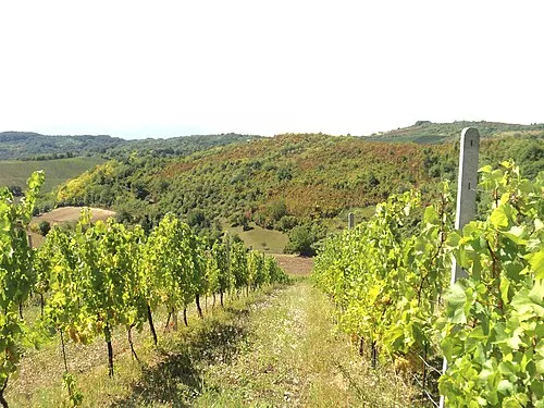 Dilj Planina Mountain, Croatia12 km NE
-
 Orljava River, Croatia24 km W
-
Crna River, Republika Srpska20 km SW
-
Pjevalovac River, Republika Srpska19 km SW
-
Markovac Mountain, Republika Srpska19 km SW
Sources & licences
Data last updated: