- Elevation
- 131 m
- above sea level
- Local time
- UTC+01:00
- Europe/Zagreb · UTC+01:00
- Airports
- BNX Banja Luka International Airport59 km
- OSI Osijek Airport74 km
About Petnja
Petnja is a river. Location: Croatia.
Petnja Lake is an artificial lake located 3.5 kilometres (2.2 mi) from the municipality of Sibinj (Završje) and 7 kilometres (4.3 mi) north-west of the city of Slavonski Brod, Croatia. It was created by the construction of a water dam in 1968, and through its existence has been excellently integrated into the environment. Today, it is an integral part of the area's ecosystem. The lake is surrounded by an ancient Slavonian forest and is called "The eye of Dilj".
Read more on Wikipedia Text: Wikipedia contributors · CC BY-SA 4.0 · shortened
At a glance
- Built
- 1968
- Maximum depth
- 8.2 m
- Length
- 1.1 km
- Area
- 28 ha
Source: Wikidata
Climate of Petnja
Best months for sightseeingBest months for sightseeing: May–June, September.
Bars: average monthly low and high temperature. Below: precipitation. Monthly averages for 1970–2000 at about 18 km resolution, adjusted for elevation. Highlighted months are mild and relatively dry. Source: WorldClim 2.1 (CC BY 4.0).
Show values as a table
| Month | Jan | Feb | Mar | Apr | May | Jun | Jul | Aug | Sep | Oct | Nov | Dec |
|---|---|---|---|---|---|---|---|---|---|---|---|---|
| Average high (°C) | 4° | 6° | 12° | 16° | 22° | 25° | 27° | 27° | 23° | 17° | 10° | 5° |
| Average low (°C) | -3° | -2° | 2° | 5° | 10° | 13° | 15° | 14° | 10° | 6° | 2° | -2° |
| Precipitation (mm) | 50 | 50 | 48 | 60 | 74 | 100 | 70 | 66 | 57 | 72 | 81 | 66 |
Airports nearest to Petnja
- Banja Luka International Airport (BNX) Mahovljani 59 km
- Osijek Airport (OSI) Osijek(Klisa) 74 km
- Pécs-Pogány International Airport (PEV) Pécs 90 km
Straight-line distance; airports with scheduled flights only. Source: OurAirports (public domain).
Nearest towns and villages
-
Bartolovci Village, Municipality of Sibinj2.4 km SW
-
 Sibinj City, Municipality of Sibinj3.1 km SW
-
Brodski Varoš Village, Town of Slavonski Brod3.7 km SE
-
Slobodnica Village, Municipality of Sibinj4.6 km S
-
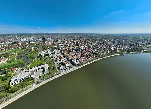 Slavonski Brod City, Town of Slavonski Brod7.3 km SE
-
 Podcrkavlje City, Municipality of Podcrkavlje5.7 km NE
Nearby attractions & nature
Everything nearby-
Jezero Petnja Lake, Brod-Posavina County0.7 km E
-
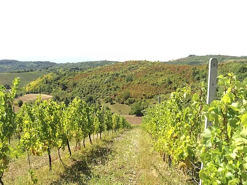 Dilj Planina Mountain, Croatia13 km NE
-
Londža River, Croatia13 km NW
-
Cerovac Mountain, Brod-Posavina County22 km W
-
Cerje Mountain, Brod-Posavina County22 km W
-
Orljava River, Croatia20 km SW
Sources & licences
Data last updated: · 2 independent sources