- Elevation
- 73 m
- above sea level
- Local time
- UTC+01:00
- Europe/Zagreb · UTC+01:00
- Airports
- OSI Osijek Airport19 km
- PEV Pécs-Pogány International Airport92 km
About Vuka
Vuka is a river. Location: Croatia.
Vuka is a river in eastern Croatia, a right tributary of the Danube river. At 112 kilometres (70 miles), it is the 13th-longest river flowing through Croatia and it has a drainage area of 644 square kilometres (249 square miles). The river is located in the region of Slavonia. It rises in the Krndija hills in the Osijek-Baranja County and flows eastwards through lowlands into the Vukovar-Srijem County. It empties into the Danube at the town of Vukovar, which is named for the river.
Read more on Wikipedia Text: Wikipedia contributors · CC BY-SA 4.0 · shortened
At a glance
- Length
- 112 km
Source: Wikidata
Climate of Vuka
Best months for sightseeingBest months for sightseeing: May, September.
Bars: average monthly low and high temperature. Below: precipitation. Monthly averages for 1970–2000 at about 18 km resolution, adjusted for elevation. Highlighted months are mild and relatively dry. Source: WorldClim 2.1 (CC BY 4.0).
Show values as a table
| Month | Jan | Feb | Mar | Apr | May | Jun | Jul | Aug | Sep | Oct | Nov | Dec |
|---|---|---|---|---|---|---|---|---|---|---|---|---|
| Average high (°C) | 3° | 6° | 12° | 17° | 23° | 25° | 27° | 27° | 23° | 17° | 10° | 5° |
| Average low (°C) | -3° | -2° | 2° | 6° | 11° | 14° | 15° | 15° | 11° | 6° | 2° | -2° |
| Precipitation (mm) | 40 | 36 | 39 | 52 | 58 | 82 | 66 | 58 | 47 | 50 | 58 | 50 |
Airports nearest to Vuka
- Osijek Airport (OSI) Osijek(Klisa) 19 km
- Pécs-Pogány International Airport (PEV) Pécs 92 km
- Tuzla International Airport (TZL) Dubrave Gornje 102 km
Straight-line distance; airports with scheduled flights only. Source: OurAirports (public domain).
Nearest towns and villages
-
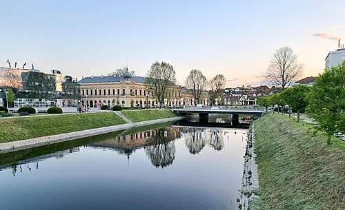 Vukovar City, City of Vukovar0.2 km SW
-
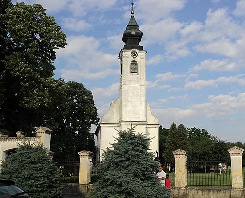 Borovo City, Municipality of Borovo6.3 km N
-
Bršadin Village, Municipality of Trpinja7.4 km W
-
Borovo Naselje Neighbourhood, City of Vukovar4.9 km NW
-
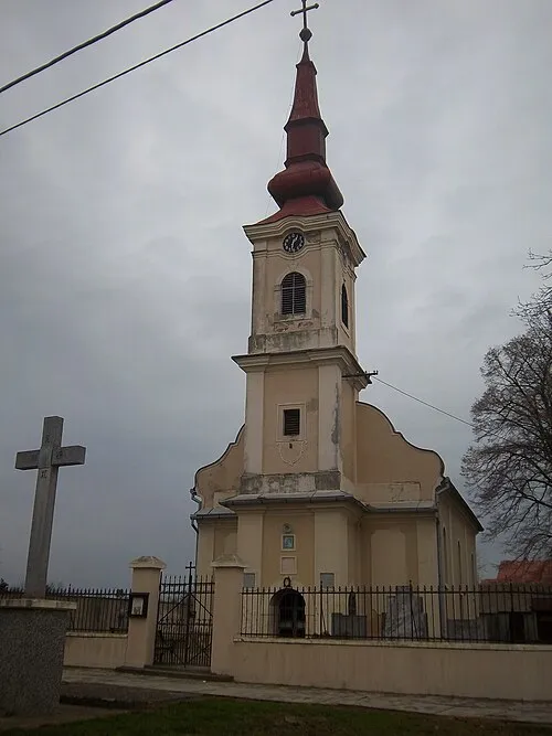 Negoslavci City, Municipality of Negoslavci8.1 km S
-
Marinci Village, Municipality of Nuštar8.4 km W
Nearby attractions & nature
Everything nearby-
Vučedol Historic site, Vukovar-Srijem County4.4 km SE
-
Drava River River, Austria23 km N
-
Vučica River, Croatia15 km W
Sources & licences
Data last updated: · 2 independent sources